By the time Gunther Pluschow's aircraft plowed into a Patagonian lake in 1931, the 44-year-old had already experienced a lifetime of adventure. The German aviator and explorer was the first to survey and film Argentina's most famous region by air, a contribution for which the Argentinian Air Force still lauds him to this day.
But those expeditions in the late 1920s and early 1930s were just a slice of Pluschow's dashing life. It's a great tragedy of history to wonder what towering figures could have done if chance, fate, or whatever you want to call it had given them more time.
Pluschow spent a good deal of his short years on Earth dreaming about South America. When he finally got there, it killed him. But before it did, he left a mark on the world that stretched from Germany to Asia to America to Italy to Britain and back again.
The Aviator of Tsingtau
Gibraltar, 1915: British agents boarded a ship freshly docked from New York City. Acting on intelligence lost to history, the men searched the ship and found someone who shouldn't have been there — a travel-worn, sharp-eyed man with a high brow and unmistakenly Teutonic features.

WWI was in full swing, and the Brits promptly took the man into custody on charges of being an "enemy alien." As they prepared to bundle him off to a prisoner-of-war camp in England, they discovered something improbable. The man in their custody — then 29-year-old Pluschow — had, in 1914, been the subject of a massive manhunt that covered two continents. The press had dubbed him The Aviator of Tsingtau.
Born in 1886, the son of a journalist, Pluschow had an unremarkable life until he enrolled in the German military. He was a man awaiting his moment. When hostilities broke out in August 1914, Pluschow was assigned to the East Asian Naval Station at Tsingtau, then part of a Chinese land concession to Germany.
Pluschow was one of two pilots stationed there (remember, at the outbreak of the war, military aircraft strategy was in its infancy). Pluschow and his fellow pilot Friedrich Mullerskowski flew Taubes — distinctive, bird-like monoplanes that were popular before the start of the war. Unarmed except for a few bombs that pilots could manually drop, Taubes were stable but turned slowly and were easy targets.

Adventures in Asia and beyond
Soon enough, Mullerskowski crashed his plane, leaving Pluschow the sole German pilot in the area against eight faster and more maneuverable Japanese aircraft. He stayed alive, which is impressive. But he also managed to shoot down one of the Japanese planes with his pistol from the air, which is astounding.
The Taube being what it was, Pluschow mostly flew observation and scouting missions. When the Japanese and British military forced the abandonment of the East Asian Naval Station, Pluschow was dispatched to Nanking with a package of secret military documents. But his much-abused aircraft wasn't up to the journey. He crash-landed in a rice paddy 250km later, and set out for Nanking sans wings.
Traveling first on foot and then via junk (a traditional Chinese river ship), Pluschow arrived in Nanking and delivered his documents. But he soon became aware that Allied forces were watching him and moving in for an arrest. Just as they swooped in, he commandeered a passing rickshaw and fled to a train station, where, with the judicious application of a bribe, he fled to Shanghai.
In that port city, Pluschow obtained Swiss travel documents and boarded a ship first to Nagasaki, then to Honolulu, and finally, to San Francisco. He crossed America and wound up in New York City, where he considered approaching the German consulate. But Allied forces were hot on his tail, and somehow, the press got wind of his presence in New York. Obtaining illicit travel documents yet again, he boarded a ship for Gibraltar in January 1915. There, Allied forces finally caught up with him, ending an escape that had taken him nearly three-quarters of the way around the world.
Patagonia dreams
By May, the pilot found himself the resident of a prisoner-of-war camp in Leicestershire, England. But the Brits were unprepared for a man of Pluschow's squirrely nature. Timing his escape to coincide with a major storm, the German slipped away from his captors and made his way to London, where he disguised himself as a dock worker while he waited on a handy ship on which to stow away.
Scotland Yard issued an alert for a man with a dragon tattoo on his arm — a little souvenir from Pluschow's Asian adventures. It was at this phase of his life that Pluschow became interested in Patagonia. Holed up out of the public eye when he wasn't scoping his escape on the docks, Pluschow read book after book about the region, no doubt dreaming of a better time when he could use his aviation skills to explore rather than wage war. That distant land must have seemed pristine and wholesome in the midst of the horrors of WWI.
The always plucky Pluschow also found some time to visit the British Museum during his layover.
Finally, he slipped aboard a ship bound for the Netherlands and eventually made it safely back to Germany. He is the only German in either World War to ever escape from a British prisoner-of-war camp. His countrymen, unable to believe that Pluschow somehow made it from China to Germany in a year-long, eastward push, promptly arrested him as a spy.
Patagonia, finally
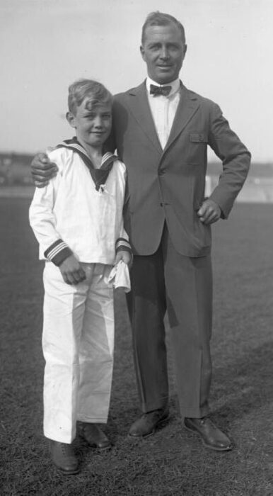
The next few years of Pluschow's life were sedate compared to the previous ones. Even though the war still raged and Pluschow was promoted to Lieutenant, he settled into a life of command that kept him out of harm's way. He got married, had a son, and wrote a popular book, The Adventures of the Aviator from Tsingtau. Following the Treaty of Versailles in 1919, civil and military unrest became the normal state of affairs in the broken country. Pluschow retired from the military at the age of 33, not knowing if he'd ever fly again.
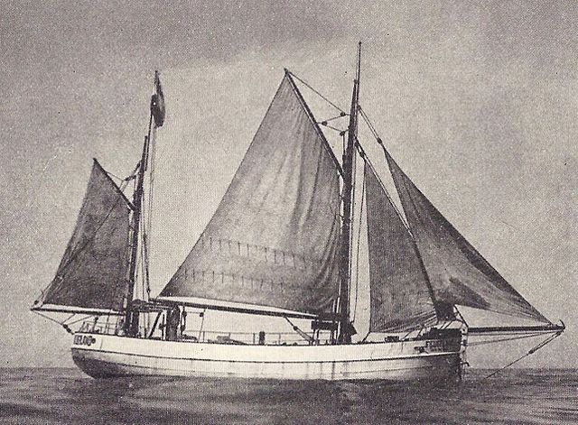
At loose ends at first, Pluschow eventually found work on a sailing vessel bound for South America. After making port in Valdivia, Chile, Pluschow left the ship and traveled across Chile until finally, blessedly, he reached Patagonia.
The landscape immediately captured him, as he must have known it would. But he ached to see those mountains from the air. He returned to Germany and wrote another successful book, Voyage to Wonderland. Proceeds from this literary effort earned Pluschow enough cash to finance a private expedition to South America.
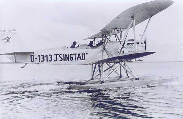
In 1928, the former military man finally emerged as the explorer he'd long wanted to be. Teaming up with an engineer, Ernst Dreblow, Pluschow bought a ship and a Heinkel HD 24 D-1313 seaplane. Their inaugural flight was a trip from Punta Arenas, Chili, to Ushuaia, Argentina — delivering Ushuaia's first air mail along the way.
A whirlwind of discovery
The flights that followed were a whirlwind of exploration and discovery. It was such a productive time that it makes one wonder what Pluschow could have accomplished had he lived past 1931. Pluschow, Dreblow, and their dog Schnauf were the first to explore some of the region's most famous geological features by air. They flew over the ice-choked Cordillera Darwin, surveyed Cape Horn, looked down at the beautiful Southern Patagonian Ice Field, and soared past the towering Torres del Paine. Their work was critical in the mapmaking efforts ongoing in the rugged area.
Pluschow had so much fun exploring Patagonia that he took his funding right down to the wire, eventually having to sell his ship to scrape together enough money to return to Germany in 1929.
A budding filmmaker, Pluschow spent part of his time in South America shooting roll after roll of motion picture film, eventually cutting a documentary. The film, called Silver Condor over Tierra del Fuego, was released concurrently with a book of the same name.
Return to Patagonia
The film and book once again earned Pluschow enough cash to return to South America in 1930. But here, the pilot's phenomenal luck ran out. He and Dreblow were both killed in a plane crash in early 1931 on Lake Argentino.
It feels supremely unfair that a man who worked so hard to become an explorer was killed doing that very thing. Pluschow didn't come from money, and large exploration societies didn't finance his expeditions. He funded his travels through creativity and storytelling, often waiting agonizing months or years between adventures while the funds accumulated.
The grit, perseverance, creativity, and courage he showed in the early parts of his life were also on display during his time in South America. There is no doubt that had he lived longer, he would have become a towering figure in South American exploration rather than the footnote he is today.
He was a lucky man but also phenomenally unlucky. Were it not for the Great War, he would surely have found a way to Patagonia much earlier in his life.
In the end, in the dark, it all came down to three things — experience, good judgment in the face of uncertainty, and penguin meat.
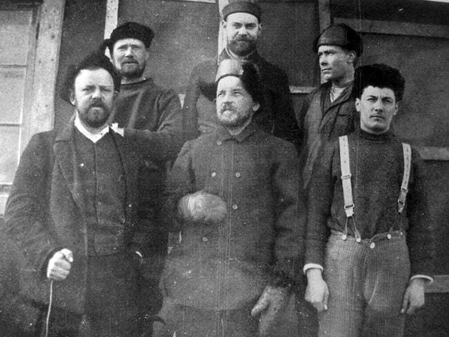
It was 1903, their second winter on the White Continent. Swedish geologist Otto Nordenskjold and five men under his command shivered in a hut on Snow Hill island, off the eastern coast of the Antarctica Peninsula. The intention had been to overwinter once on the spit of land, conducting scientific observations while they waited for their ship, the Antarctic, to pick them up. It was slated to be a nine-month layover.
The first winter had been brutal but manageable. Nordenskjold and his men were prepared and had even managed a 645km, month-long mapping expedition along the coastline. They returned just in time for their appointed pickup. While the expedition had been a scientific success, it wasn't without setbacks. Several dogs had died in a blizzard, and fierce winds had toppled an outbuilding and blown away a boat. Doubtless, the men were looking forward to putting the continent behind them.
An empty horizon
But when the appointed moment came, the Antarctic failed to appear. Days turned into weeks, and the ice closed in. Soon, it was apparent. Nordenskjold and his men were in for another dark winter.
Fans of polar exploration might already be familiar with Otto Nordenskjold and the 1901–1904 Swedish Antarctic Expedition. While perhaps not as famous as the top-tier polar racers, Nordenskjold was a major player in his day. If his name has faded slightly over the last century, it might be because he was always more interested in geology than he was in planting a flag.
But the full tale of the Swedish Antarctic Expedition — and the cataclysmically bad luck it endured — is always worth telling. And if you're new to the story, well, you're in luck.
The expedition was Nordenskjold's brainchild. A geologist and geographer, the Swiss explorer wanted to fill in blank spaces on the Antarctic map, particularly the eastern side of the Antarctic Peninsula. Privately funded, the expedition would leave Nordenskjold in crushing debt for the rest of his life. But first, the men had to make it home.
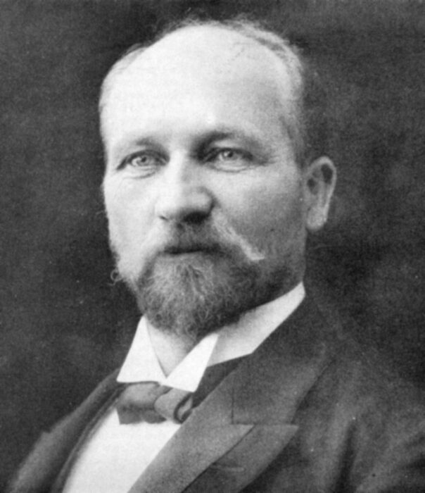
Norwegian Carl Anton Larsen captained the Antarctic and was in overall command of the expedition. Larsen was an experienced polar explorer — in fact, he was the first person to ski in Antarctica. He was also the first person to discover fossils on the continent.
Iced over
While Nordenskjold's men scouted the Antarctic coastline, Larsen and the rest of the expedition explored the island of South Georgia. After nine months, the Antarctic attempted to sail back to Snow Hill Island to pick up Nordenskjold's men.
But their route was completely iced over. Larsen was too seasoned to be so easily stymied and quickly came up with a backup plan. He deposited three men, led by archaeologist Gunnar Andersson, at Hope Bay on the northernmost tip of the peninsula. The party was to travel southward overland, rescue Nordenskjold and his men, and return for pickup: A 270km round trip.
Andersson's party began its journey south, but when the men reached the portion of the journey that entailed crossing sea ice, they stopped in horror. The ice they'd intended to traverse was gone. They turned around and returned to Hope Bay, but found little hope when they arrived. The Antarctic had already sailed.
Abandon ship
The dauntless Larsen hadn't given up on a Snow Hill rescue, and he steered the Antarctic back into the Weddell Sea. But the treacherous ice closed swiftly, and 45km from land, the ship was fully frozen in. The cataclysmic forces quickly did their work, and Larsen and his remaining men abandoned the ship after six weeks.
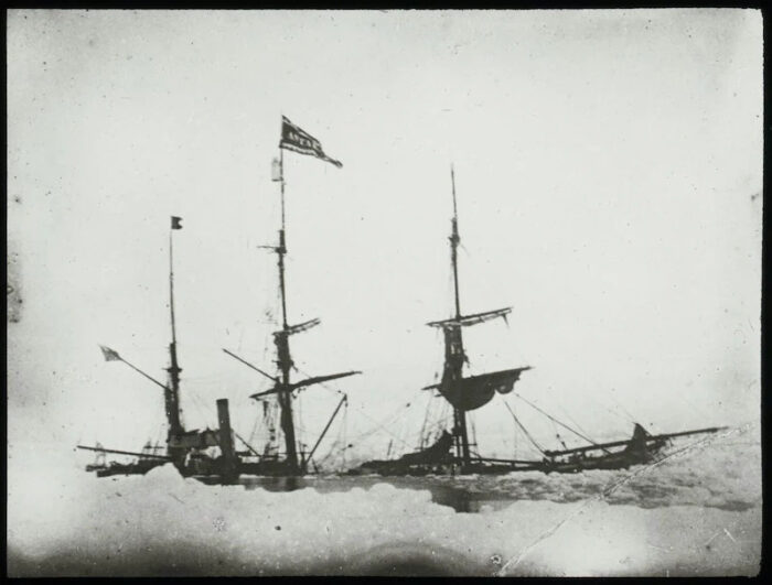
It took two weeks of nerve-wracking ice-floe hopping to reach the safety of Terra Firma. They almost didn't make it — a major storm rolled in a day after they reached Paulet Island in late February 1903. Had they still been on the ice, all 14 of the men might well have perished.
The expedition was now split into three groups: Nordenskjold's party on Snow Hill Island, Andersson's party at Hope Bay, and Larsen's party on Paulet Island.
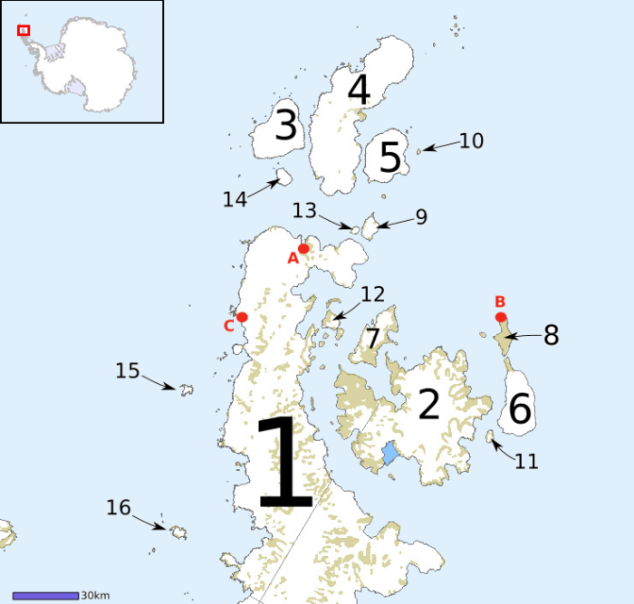
None of them had any means of communication. None of them knew the fate of the other parties. All of them were facing an Antarctic stay of unknown duration with dwindling supplies. And as far as the outside world was concerned, the Swedish Antarctic Expedition had simply vanished.
A grim winter
It was a long and difficult winter.
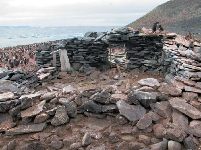
At Hope Bay, Andersson's party built a drafty shelter from stones, covered it with a salvaged tarpaulin, and insulated the floor with penguin skins.
At Paulet Island, Larsen's party built a similar rocky hut but at least had sailcloth to work with. They also were able to use a local population of seals for insulative animal skins.
On Snow Hill Island, Nordenskjold's party, though the first to become stranded, had the most supplies and the advantage of a purpose-built shelter.
All three parties mostly lived on penguin meat as the long dark dragged on. Oil rendered down from penguin fat provided their fuel for heat and cooking — a smoky, rancid way to prepare a meal and warm the hands if ever there was one.
As spring arrived, Larsen set his sights on Hope Bay. He divided his party yet again, taking five men and rowing for the bay with the expectation of finding both Andersson's and Nordenskjold's parties awaiting him. It was a dicey five-day row, but they made it.
When Larsen arrived, all he found was an abandoned stone hut. Andersson's party had vanished.
Unlikely reunions
Again, Larsen's level head and experience prevailed. Intuiting that Andersson and his men must have overwintered at Hope Bay and then struck out overland for Snow Hill Island, Larsen and his five men hopped back in their boats and began rowing again.
Larsen had calculated correctly. When spring arrived, Andersson's men had indeed traveled south once again, this time finding enough pack ice to make the crossing to Snow Hill Island.
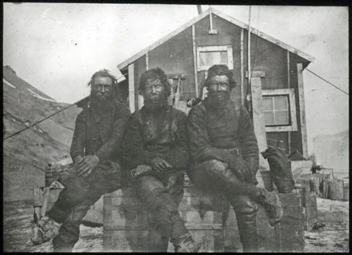
On Oct. 12, 1903, Nordenskjold looked up to see three shabby, heavily bearded, soot-blackened men shamble out of the white. It was Andersson's party.
At least some of the expedition was back together, but of course, none of the men now huddled on Snow Hill Island knew the Antarctic's fate.
They were also unaware that help was on the way. Larsen, always prepared for the worst, had made one last contingency plan — a plan that had now been activated. When the expedition made port in South America on the way to Antarctica, Larsen asked the Argentinian navy to come and search if the expedition had vanished. This they did, dispatching the Uruguay that spring. For once in nearly two years, something went right. The ice was cooperative. Two weeks after Andersson's party arrived at the hut, the Uruguay appeared at Snow Hill Island.
Overjoyed
The rescued men were overjoyed. With hands shook, pipes lit, and fresh food parceled out, rescuers and rescuees alike then turned to the final piece of the puzzle. Where were Larsen and the Antarctic?
At that moment, and in a bit of timing so unlikely that it would be unbelievable if this story was a piece of fiction, Larsen appeared in the hut. He and his men had successfully rowed and sailed to Snow Hill Island. They'd seen the Uruguay as it approached the site.
With all the Snow Hill men now aboard, the Uruguay set sail for Paulet Island to rescue Larsen's remaining men.
In the end, all but one man from the Swedish Antarctic Expedition survived. One of Larsen's party had died of heart failure during the second winter, an event that might have occurred even without the hardships the expedition endured.
By polar disaster standards, it was an astounding feat. It speaks not only to the physical endurance of the men, but of just how well-stocked the expedition was. Even split unexpectedly into four groups, the expedition had enough leadership, experience, and proper judgment to make good calls consistently.
Aftermath
Despite the many setbacks, the Swedish Antarctic Expedition was widely hailed as a success. The men had charted much previously unexplored territory and returned home with a vast cache of geological and biological samples.
Larsen settled into the (relatively) more comfortable life of an Antarctic whaler, eventually moving his family down to a South Georgian site he'd scouted while overwintering there in 1902. He died in 1925 at the age of 64.
Nordenskjold became famous in his home country and abroad, but the personal debt he incurred as a result of his expedition haunted him for the rest of his life. He became a professor at the University of Gothenburg and mounted expeditions to Greenland, Chile, and Peru over the next two decades. He was killed in a traffic accident in 1924, at the age of 58.
It was partway through Thomas Mariee's 17-day solo packrafting descent of Sierra Leone's Rokel River, and he was hiding in the jungle.
Mariee had set up camp at dusk, hoping to conceal his presence from the illegal gold miners operating on the river. As he huddled in his tent, he listened to their voices as they conducted their work in the dark. Eventually, he slept.
Sierra Leone's military officials had repeatedly warned Mariee to stay away from the miners. But this 60km stretch of river between Bumbuna and Magburaka was full of them. Their mining machines stretched out into the water, sometimes as many as five on one section of the Rokel.
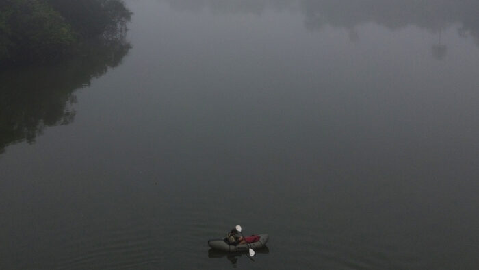
That meant Mariee had to paddle closer to the miners than he'd like, and earlier that day, some of them had thrown stones at him. By paddling until dark and then setting up a stealth camp, Mariee hoped to avoid another uncomfortable confrontation.
But the discomfort, when it came, arrived in the form of wildlife rather than humans.
Waking up at 2:00 am, Mariee felt a stinging sensation. Sitting up, he flipped on his headlamp and looked at his arms. They were covered in biting red ants. He directed his light at the floor of his tent to find it was swarming with insects. In the dark, he'd set up his tent directly on an ant mound, and they'd wasted no time in chewing through the fabric and making their way into Mariee's domain.
"It was a carpet of ants. Hundreds and hundreds of ants," he remembered. "It was a nightmare. I was feeling pain everywhere over my body. I had to go out of my tent, clean everything. It was very cold. At this moment, I have to be honest with you, I was wondering, 'Why am I not chilling with my friends in Côte d'Ivoire right now?'"
This moment of Mariee's 365km packraft journey down Sierra Leone's largest river stands out to the adventurer because of its contrast. In hiding from humans, he'd placed himself at nature's mercurial mercy instead.
Comfort zone
A Frenchman with four years of experience living in West Africa, Mariee had been looking for a way to get further outside his adventuring comfort zone. Before the Rokel descent, he'd been experimenting with longer and longer paddling journeys on some of Africa's smaller rivers and taken some whitewater classes in France.
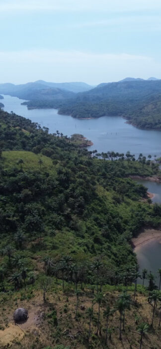
Pouring over maps and satellite imagery, he chose the Rokel in the dry season as his target. In Mariee's eyes, it was perfect. Sierra Leone is a non-French-speaking country, which would force him to get by in English and whatever Krio (the country's dominant ethnic language) he could pick up. The whitewater would be intense enough to stretch his relatively fresh skills and widely dispersed enough that he could portage around anything he couldn't handle.
And it would be a chance to experience a culture of hospitality and kindness often obscured behind the very real threat of violence in some African countries.
A realization
Mariee slipped his Mekong George All Well packraft into the Rokel at the first navigable stretch near the Guinean border. His goal was the Sierra Leone River Estuary on the Atlantic Ocean. His only food supply was a large bag of rice, which chose specifically because of its status as a staple food along the waterway.
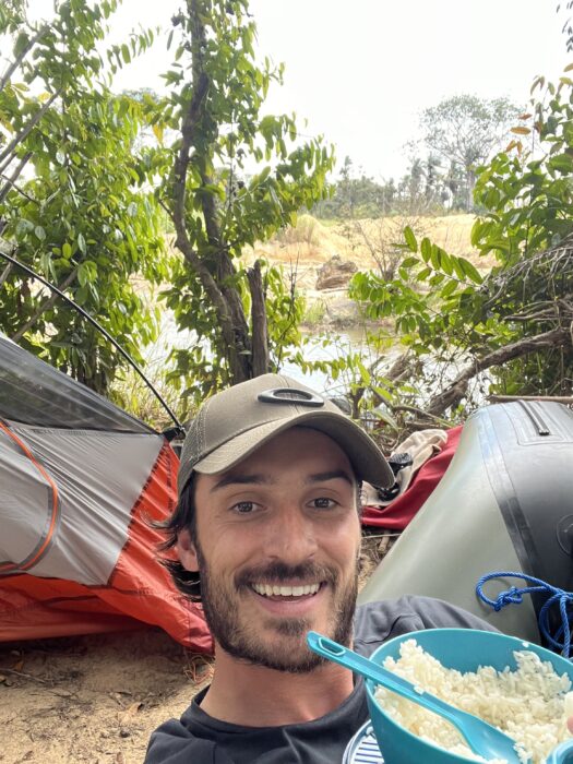
In the expedition's early days along the more isolated section of the river, he mostly slept in his tent. The river's upper section was swift and roiling with more rapids than Mariee's satellite research had suggested. In the first few days, the rafter did more portaging than boating.
"That was when I realized how arduous the trip was going to be," he said.
Mariee's solo adventuring style is cautious and well-informed by his multi-year residency in Côte d’Ivoire (Ivory Coast). He probably could have run many of the rapids he chose to portage around, but he knew that a capsize would be real trouble along the remote stretch he was paddling. So he gutted it out, sweating heavily in the humid days and then shivering as the night air turned cold.
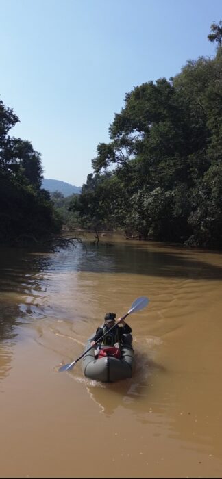
After the Rokel flattened out, he paddled more. And as a bonus, as the river progressed, he was able to spend more evenings in villages, occasionally supplementing his rice diet with fruit or cans of sardines he bought from village residents.
"The concept of tourists does not exist. So I had to justify my presence. The village elders would ask me, 'Are you a missionary? Are you a gold miner?' So I had to show them photos, videos that I was truly a tourist. And once I had convinced them, they were most welcoming," he said.
It wasn't until Mariee reached the portion between Bumbuna and Magburaka, with its illegal gold mining operations, that he felt any real danger.
Lessons learned
Despite his caution in other areas, Mariee neglected to bring a satellite phone or messaging device, a decision he regrets. He'll definitely bring one along on his next expedition, he told ExplorersWeb.
The only other significant gear issue he encountered was his water filter, which clogged and became non-functional halfway through the expedition. He boiled his water from then on, and was happy to report he ended his expedition with no notable gastrointestinal issues.
However, going to the doctor a few weeks after completion, he discovered he had a staph infection on his leg, the result of a small scrape he'd been unable to tend carefully enough. So on his next adventure, he's also going to seriously upgrade his first aid supplies.
Mariee isn't too concerned about making first descents or setting records. He adventures for its own sake and also, he says, to shed light on the hospitality and kindness of the people he meets along the way.
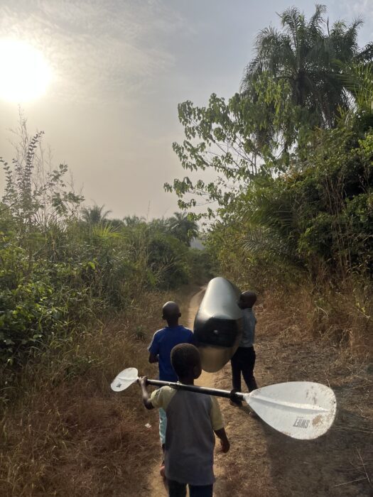
"There are huge issues in Sierra Leone, we have to be honest about it. But still at the end, we're talking about welcoming someone who is traveling. I didn't have any issues, people were very, very welcoming. They were not in a good situation, but they were still helping me."
Mariee secretly left cash behind when he stayed in a village — tucked under something because people often wouldn't accept it if he offered. He also got in the habit of giving away his gear in thanks for kindness, finishing his trip with neither shoes nor headlamp.
Madagascar and beyond
Two days after completing his descent of the Rokel, he was still happy not to be paddling. But by day three, he was daydreaming about his next expedition. He's planning something that features more balanced quantities of packrafting and trekking.
"I would love to cross Madagascar from east to west or west to east. That would require maybe 25 days. You have the Mangoky River, which is the largest river in the country. And that would allow me to packraft in the western section, but I would still have to walk to get there."

And in the next four or five years, he has his sights set on the Congo River.
"In terms of exploration, it's the most fascinating one, the most mysterious one, maybe also the most dangerous one. I know only one crazy guy has paddled it from source to sea," he said. "So I'm not talking about a performance, being the first one. No. It's just about living the adventure I've always dreamed of."
The Big Wait begins with an unending field of blue sky, then tilts down to show the dry, scrubby Australian landscape. As the shot lingers, a train, so far over the horizon that it's barely visible, slowly creeps into the frame. It's a perfect beginning to the short documentary, given its subject — two people and a dog, managing a tiny emergency runway and six cottages that almost nobody ever visits.
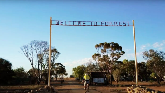
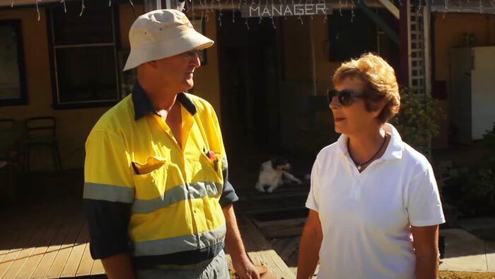
"Forrest is a township with one street, one intersection, and six cottages. And they're only here because we have an airport. And we have people to look after it. That's the managers, currently Greg and Kate," Greg and Kate Barrington say jointly in an interview.
In the snippet, they refer to themselves in the third person and finish each other's sentences — precisely as you'd expect people in their situation to do.
Population: two
"And Holly," they say, referring to their dog. "Population of Forrest is...two."
As Greg explains it, the cottages he and his wife caretake are hardly ever occupied because the "airport" he previously referred to is actually an emergency landing strip.
"Most of the time, it feels like an abandoned movie set because there aren't people," he says.

Nevertheless, Greg and Kate keep the cottages in pristine condition. They water and mow the lawns, wipe dust off the shelves, change the linens, place freshly rolled towels on the beds, and generally keep things ready for visitors. They even put fresh flowers in each of the rooms on a regular basis.

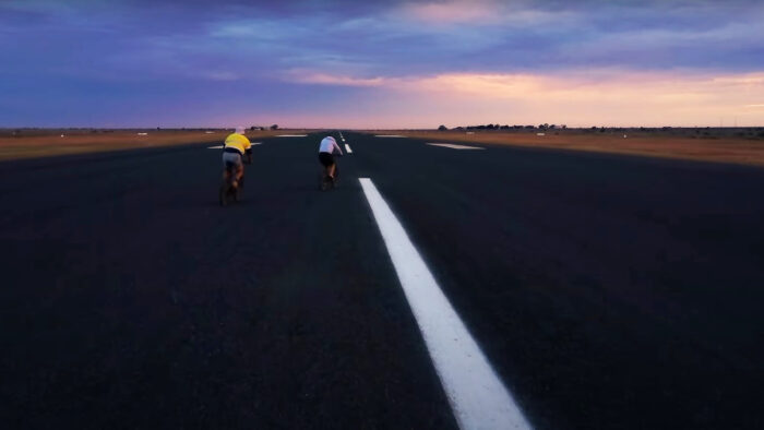
"You lose total track of time," Kate says over footage of the pair riding their bikes for exercise on the empty emergency runway. "I don't know what day of the week it is today. Or the date. It just...vanishes in a flash. The day is gone in a flash. Sunset, and next day, and you just keep rolling. And every day is different, that's the best part. So you rarely get bored," she continues.
That might seem hard to believe. But that's what makes The Big Wait such a fascinating piece of filmmaking. The viewer can't believe that Greg and Kate aren't bored, and yet they clearly aren't. They smile, they laugh, they fill their off hours with tennis games and haircuts. They drive their car at top speed down the runway, they ride their bikes, they have bonfires. They watch the sunrise and sunset.
So much space
"There's so much space, I find it gives me a chance to think more clearly," Greg says. "because the troubles really go away. There's nothing out there pressing in on you, and it's really what comes from inside. I suppose you throw away all the non-essentials. There's electricity, there's water. If the train comes through, there's food. With any luck a beer at the end of the day. And you don't have to worry about 'Am I going to get promoted,' because there are only the two of us out here to start with."
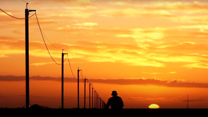
The filmmakers capture the experience with sensitivity. There's no question that Greg and Kate are a bit odd, and slightly awkward. But The Big Wait's tone is gentle, not mocking. And the film's cinematographer excels at juxtaposing the weirdness of that row of cottages with the beauty of the Australian landscape, particularly at dawn and dusk.
The Big Wait is the best kind of short documentary. It's sweet, inquisitive, and is over before it wears out its welcome. At only 14 minutes, you can fit it in on your lunch break while you consider your own promotion (or lack thereof). And you just might find yourself wondering if Greg and Kate are on to something.
The 2024 Pacific Crest Trail hiker survey is out, and its data will interest long-distance backpackers.
Halfway Anywhere, a blog run by long-distance athlete Tyler Fox, compiles the annual survey (now in its eleventh year). It's an in-depth (and long!) look at a host of metrics from age and ethnicity to money spent and technology used on the Pacific Crest Trail (PCT).
This year, 764 thru-hikers completed the survey. The Pacific Crest Trail Association issues up to 8,000 long-distance permits per year. So, while the survey is far from comprehensive, it's nevertheless a decent sample size.
Let's take a look.
Some unsurprising findings
First, 55% of the survey respondents were male, 40% were female, and 1% identified as non-binary. Just under half of the thru-hikers were between the ages of 25 and 34, and almost 90% of them were white. None of that is surprising, given the general breakdown of outdoor sports.
One encouraging statistic is that the percentage of female thru-hikers rose 3.5% from last year. When the survey began in 2013, 35% of the hikers were female.
Most of the people who took the survey hail from western U.S. states, so it's also not shocking that over 5.4% of them listed "software engineer" as their profession. And given that the PCT is a summer trail, it also tracks that educators were well represented at 6.6% and students at 4%.
White-collar jobs like engineer, scientist, mechanical engineer, consultant, and IT professional also made the top ranks of professions for PCT thru-hikers. Seasonal workers made the top ten, but interestingly, they comprised only 3.5% of the hikers who completed the survey.
The cost of adventure
On average, thru-hikers paid $1,708 for gear in 2024. That's up from the early years of the survey by almost $500. Hikers spent an average of $10,149 on the trip last year, including the initial cost of gear.
The survey didn't begin asking hikers about total trip cost until 2019. In that year, hikers spent an average of $6,561, or $38.68 a day, compared to $71 a day in 2024. So the cost has almost doubled in five years.
Inflation (particularly with food) is certainly a factor here, as well as an increasing interest in ultralight backpacking, which tends to use gear made of high-end, expensive materials.
You might think that a higher percentage of first-time thru-hikers could be driving up these numbers. Novice thru-hikers need to spend more on gear and might also be more likely to splurge on hostels and transportation. But as it turns out, it's just the opposite.
In 2019, 67.6% of survey responders were on their first long-distance thru-hike. In 2024, that number had dropped to 50.2%. Thru-hiking as a whole has become increasingly popular through books and films like Wild and A Walk in the Woods, and the Appalachian Trail, rather than the PCT, is generally seen as more beginner-friendly. Many thru-hikers tackle the Appalachian Trail first, then the PCT, then the Continental Divide Trail.
So that takes us back to the increasing cost of goods and services and thru-hikers buying more high-end gear (perhaps as their skill level and experience rise) to explain the increase in the cost of doing the PCT.
Apps and maps
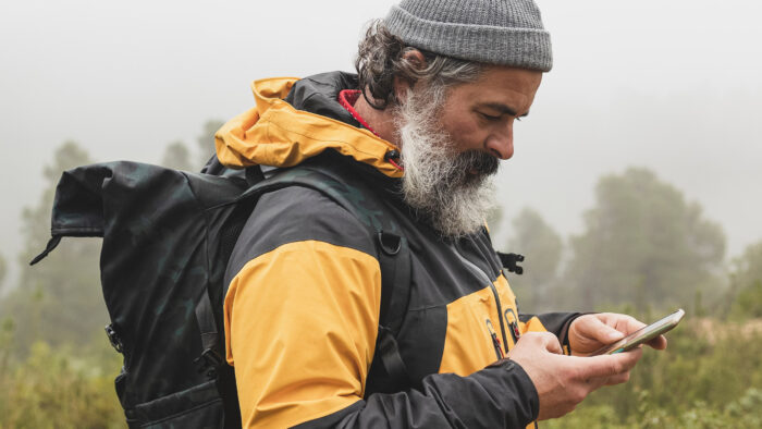
Gone are the days when long-distance hiking meant a break from modern technology. In 2024, 99% of the surveyed thru-hikers used some type of phone app, generally for navigation. FarOut Guides (formerly GutHook) was by far the most popular, with 96% of hikers choosing it for its ability to tell you your exact distance from any given point on the trail. FarOut also includes real-time, crowd-sourced information on important things like water levels at river crossings.
Hikers also used apps that provided more detailed topographical information, like GAIA GPS (33.9%) and CalTopo (12.3%). Note that the use of one app doesn't preclude the use of another.
You can find the complete 2024 Pacific Crest Trail Hiker Survey here. It's worth spending a few hours digging into — especially if your sights are set on a 2025 permit.
Cell phone dead zones in the U.S. took another step toward oblivion yesterday. T-Mobile and Starlink are now beta-testing their direct-to-cell satellite texting capability for iPhones.
The T-Mobile Starlink system uses some 300 Starlink satellites to provide coverage across parts of North America that have historically been empty of cell signals. Essentially, the Starlink satellites function as mobile, orbiting cell towers.
The Federal Communications Commission (FCC) approved the partnership in November of last year, and T-Mobile announced shortly thereafter that iPhone-using customers could register for the test. Earlier in the fall, the FCC had granted temporary approval for Starlink and T-Mobile to put the system into action when parts of Western North Carolina lost cell signal during Hurricane Helene.
According to T-Mobile's website, voice and data capability will soon follow. The direct-to-cell beta-test capability rolled out with the iOS 18.3 software update.
It's big news for the adventure world. Currently, outdoor aficionados who want to stay in contact via their phones have to use third-party satellite messaging devices or dedicated satellite phones. One less gadget to carry around is always a good thing, assuming you are the type of person who likes to stay in contact.
While the initial Beta test is only taking place in the U.S., it's just a matter of time before the program expands to other countries.
Of course, there is a downside. The increasing number of Starlink satellites streaking across the night sky is a serious bother for astronomers and scientists attempting to learn more about our cosmos.
Few of us are lucky enough to catch a glimpse of the Northern Lights from below. Seeing them from the other side around — that is, from orbit — well, that's a rare treat reserved for space farers.
NASA astronaut Don Pettit got a chance to do just that on January 6 as the International Space Station flew above the Aurora Borealis on January 6. Luckily for you and me, he recorded the display and posted the video to X.
The ISS orbits the Earth at an altitude of about 412 kilometers. Meanwhile, the green shades seen in the video are the result of discharged solar particles interacting with oxygen hovering 120 to 180 kilometers above the planet's surface.
It's just a nine-second clip, but you'll probably watch it six or seven times. I know I did.
Flying over aurora; intensely green. pic.twitter.com/leUufKFnBB
— Don Pettit (@astro_Pettit) January 6, 2025
I'm halfway up the wall, and I'm in trouble. Excited by the prospect of my first climb outside the confines of the gym where I trained, I neglected to plan my route all the way to the apex of my climb. Instead, on the ground, I chose a likely outcropping and sent it, only to realize 20 meters later that my line terminated in a smooth granite face.
My toes are balanced on a narrow crack just wide enough to support my weight, and my body is pressed against the stone. My arms are outstretched, smearing my torso on the rock face and relying on friction and prayer to keep me upright. I look to my left. There's a tiny knob, maybe a meter away. If I lean and commit, I might catch the knob before gravity catches me. But there's no going back if I do. A butterfly floats by my face. I don't know what to do.
In the video game I'm playing, my character Aava's arms and legs start to tremble, and her breathing quickens. It's the game's way of telling me I'd better master this decision paralysis quickly before I lose my grip and drop to the ground.
In real life, sitting at my desk and staring at my computer screen, my palms start to sweat.
And that's kind of remarkable.
Who are climbing games for?
Climbing games are having a bit of a moment. The game I'm playing, Cairn, is just the latest in a handful that have been released in the last few years. Mostly the province of small and independent game studios, climbing simulators range from fantasy-oriented (Jusant) to hyper-realistic (New Heights). And climbing is a major part of popular adventure games like Uncharted, Tomb Raider, and The Legend of Zelda. Though to be fair, the ascents in those games have about as much to do with real climbing as Indiana Jones has to do with real archaeology.
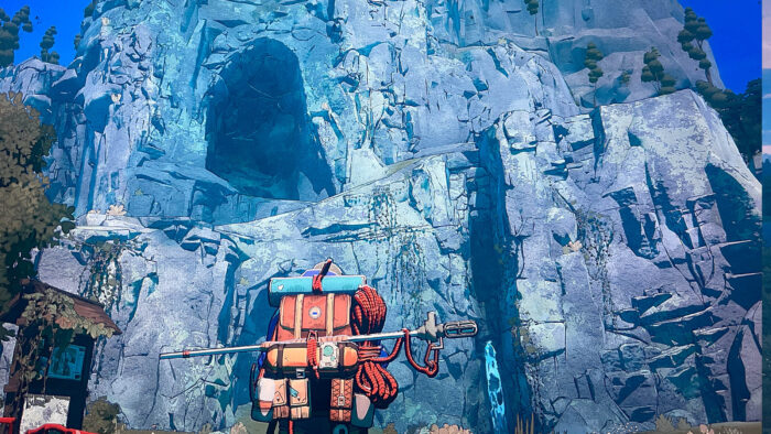
As a long-distance backpacker, mountain biker, trail runner, skier, and general interest outdoor journalist, I often come into contact with (and write about) climbers. I'm also an avid consumer of adventure stories, which means I burn through the mountaineering and climbing shelf at my local library pretty quickly.
But I've never been one to limit my hobbies to one or two categories, and I'll happily blast aliens in shooters (Halo), strategize with friends in fantasy role-playing games (Balder's Gate 3), or sneak around in stealth-based historical settings (Assassan's Creed).
The experiment
And so before picking up Cairn, I had a lot of curiosity about climbing games. Mainly, who are they for? I recognize I'm somewhat of a weirdo in the outdoor adventure world. A lot of people with an outdoor sport pursue it at every opportunity and do limit their other hobbies, especially if they want to excel. They also talk about their sport endlessly (if you've ever chatted up a climber at a party, you know the word "beta" is always only two sentences away.)
So it's hard to imagine a serious climber trading cliff time for a darkened room. It's equally hard to imagine a gamer used to the flowy, absurdly unrealistic climbing mechanics of most video games enjoying a climbing simulator's more grounded approach. I, an outdoor enthusiast with limited climbing experience and a side hobby as a gamer, might just stand in the middle ground.
So, I downloaded the Cairn demo to find out.
Backpacks and robots
The story is simple — a climber named Aava has her sights set on the first summit of the fictitious Mount Kami. That's pretty much it. Get Aava to the top. How you get there is more or less up to you, as my adventure with the smooth granite face showcased.
There are some anachronisms. For one thing, Aava is wearing not a stitch of sponsored gear. Frankly, that comes as a relief to someone who watches as many climbing films as I do. Instead, she's decked out in strange arm and leg wrappings, looking for all the world like an athletic Egyptian mummy. Her pack appears to be of the antique canvas and buckle variety. It's also huge. You really have to admire her raw strength, if not her packing skills.
She also has a little robot helper who takes phone calls and retrieves pitons after she reaches safety, which I imagine would be handy in real life and probably isn't as far away as you think it is, technology-wise. For some reason, this robot, who was supposed to be belaying me, let me fall to my death at least twice. I haven't decided if it's a bug in the demo or the developer's way of imparting the (admittedly sound) advice that you shouldn't trust robots.
One limb at a time
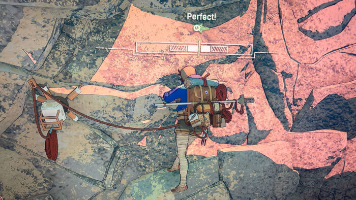
But beyond that, Cairn is as probably as close to real climbing as you can get without actually climbing. The game lets you control one limb at a time, and you've got to scan the rocks for cracks, ledges, handholds, and toeholds, then carefully reach out for them.
There's no flashing red screen or timer bar to let you know when you've overextended Aava's capabilities, just body animations and sound effects to indicate she's growing taxed. You can use chalk and shake Aava's hands out. You can drive in pitons and give her a break. Put a foot on a dodgy hold, and Aava will slip right off it. Gain a relatively safe ledge, and she'll sigh in relief.
The thrill of rock
My general familiarity with climbing books and films served me well while playing. On one occasion, I was stuck until I looked around and noticed a vertical crack running for a few meters above my head. I stretched, got a hold, and crack-climbed. If I knew nothing about climbing, I might not have known that was possible. Instead, I felt for all the world like the rock-climbing protagonist in a memorable scene from Dan Simmons' silly but nevertheless highly enjoyable sci-fi climbing novel The Abominable.

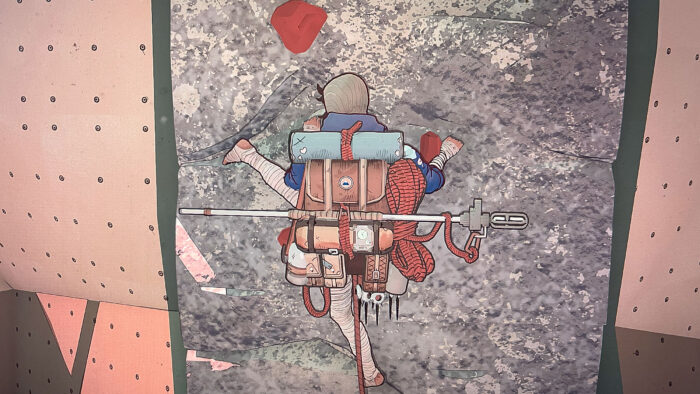
Cairn's animation is also nicely dialed in, with Aava's movements — the way she reaches out, feels the stone, gets herself into positions, and uses holds — immediately familiar and realistic. There are also some nice little nods to broader outdoor culture. In my few hours playing the game, the only food items Aava has in her pack are noodles and a candy bar that looks suspiciously like the Norwegian chocolate bar Kvikk Lunsj. The developers certainly did their research. Things feel pretty real. Most of the time.
One notch too risky
There was a time, perhaps somewhere halfway through my second or third readthrough of the Jon Krakauer oeuvre, that I thought I might take up climbing. I spent a year at my local bouldering gym before admitting that with a stocky build and shorter-than-average arms, I'm better suited to sports that use gravity rather than fight it. Also, it felt maybe one notch too risky for the expectant father that I was at the time.
But I remember what it felt like to succeed on a line that I thought was beyond me, the thrill of topping out, the frustration of slipping on a hold I thought I had on lock, the excitement that built just before a risky move.
Absurdly, Cairn recreates all these feelings, albeit without the attendant benefits of moving more than your fingers. The game is hard, slow, and frustrating. It's also a lot of fun, so much so that I had to force myself to stop playing and start writing, lest my editor never get this story. And that dichotomy, maybe more than any other element in the game, is what really feels like real climbing.
Sweaty palms
All of which takes me back to my original question.
Who are climbing simulators for?
I've long suspected that most climbers look at climbing-specific video games with a bit of animosity, if not downright loathing. In addition to being a poor substitute for real climbing, I imagined they'd feel frustrated by the details gotten wrong, the movements glossed over, the terminology mangled. An unofficial straw poll of my climbing acquaintances proved me right — they were mostly uninterested in climbing games. Some were openly antagonistic to the very concept.
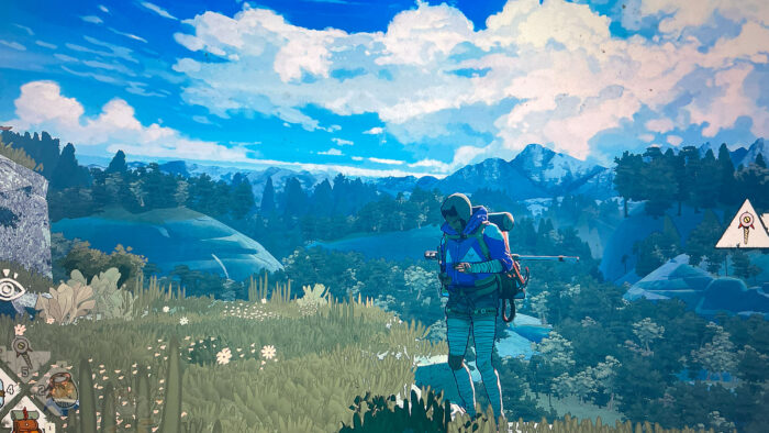
But that might be changing, in part because climbing simulators like Cairn are getting better at getting those details right. My friend and colleague Sam Anderson, climber and writer of many excellent ExplorersWeb stories, told me he's recently changed his tune.
"I've been meaning to try a climbing game. Some of the crust has flaked off my opinion that they are wack, invalid, etc. I no longer feel the impulse to shit on them in any conversation in which they come up," he said.
The gaming crowd
As for the gaming crowd, well, there certainly seems to be an audience. For one thing, developers pay close attention to trends and download numbers, and new climbing games wouldn't keep being released if every single one was tanking. Jusant, for instance, has nearly 3,000 "very positive" reviews on the Steam platform.
But perhaps the real audience for Cairn and games like it is, well, me and others like me. I'm fascinated by climbing and mountaineering; I read the books, attend the film festivals, and spend a lot of time internally dissecting the motivations and powerful impulses that propel climbers upward. At the same time, I'm quite happy with my current sports and their risk/safety quotients. I have no desire to have a friend stand at my funeral and say, "He died doing what he loved."
Instead, I'm satisfied, pleased even, to dip a toe into the world of granite and clouds safely from behind my computer. In that sense it's not all that different from reading a climbing book or watching a film, two activities that many non-climbers participate in.
The drawback? Cairn isn't a real story. The benefit? You feel, at least in some ways, like you're doing something you know you'll never do in real life. Sweaty palms and all.
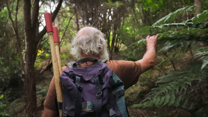
Hugh Wilson has spent the last 30 years regenerating native forest on New Zealand's Banks Peninsula. The story of how he did it is the subject of a lovely little 30-minute documentary called Fools and Dreamers: Regenerating a Native Forest. It's the perfect watch for anyone who needs their faith in humanity (and humanity's ability to fix its mistakes) restored.
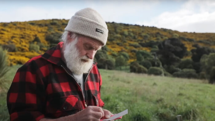
With his unfailingly cheerful nature, white beard, bald head, glasses, and propensity for mixing long-sleeved flannel shirts with shorts, Wilson looks like a well-loved grandfather. But he's so much more than that.
Interested in plants from an early age, Wilson channeled his dual love of art and science into a thriving life as a botanist. He spent the first half of his career conducting detailed studies of the plant life on the Banks Peninsula — a region that used to be heavily forested but, by the late 1990s, was mostly farmland colonized by invasive plant life.
Starting from nothing
"Both Mauri and European settlements had a huge impact on the forest, so by 1900, less than one percent of the old-growth forest [on the Banks Peninsula] was left," he notes.
Then, an acquaintance asked if he'd be interested in running a private nature preserve. The goal? Bring tapped-out pasture back to the way it looked 800 years ago. And do it fast, because New Zealand had already permanently lost some of its native species of plants and animals.
"Some people say, well, why are you restoring the forest? It's kind of like asking why you should love your mother," Wilson says in the film. "We're totally, totally dependent on the vegetation and wildlife that supports our own lives."
So he hopped at the chance to manage the Hinewai Nature Reserve, a piece of land that would eventually cover 1,500 hectares. But there was some pushback.
Naive greenies?
"I am all for saving patches of bush, but the thought of starting from scratch on land that is clear enough to be used productively frankly appalls me. As for shutting up a whole valley, heaven help us from fools and dreamers!" one newspaper letter, written by a local farmer at the time, said.
"I think they basically thought we were naive greenies from the city. I'm sure they thought we'd come here with all these ideas, and within a year or two, we'd find out it was all just too hard, and it wasn't happening, and we'd [leave] again. Now here we are 31 years later. I looked at it as a great compliment because we need a few more fools and dreamers in the world," he notes.
The solution? Gorse, of course
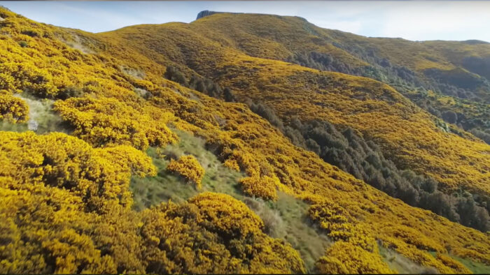
The key to Wilson's plan was counterintuitive. The landscape he wanted to turn back into native forest had been used as pasture for generations and was also infested by gorse, an invasive flowering plant that grows quickly and renders pastures unusable. Many people thought he was nuts for not beginning his reforesting by trying to get rid of the gorse.
"Gorse is a terrible weed for pastoral farming. And no one, let alone me, would deny that. But nothing is black and white, is it? If you've got it, and it's kind of infested the landscape, then it's worth looking at its good points and saying, 'Well, maybe we don't have to fight it,'" he remembers. "We don't want pasture, we want the native forest to regenerate, and gorse is a wonderful nurse canopy for native forest regeneration."
This is why botanists are handy to have around. Wilson knew that gorse is a nitrogen fixer, meaning it fertilizes the soil it inhabits. It grows quickly and creates sheltered spots for shade-tolerant hardwood saplings to grow. But it has to have full sunlight to stay alive. So once native trees in the preserve sprout up beyond the gorse canopy, the invasive weed dies. It's a brilliant, elegant solution, and Wilson's spent the last three decades making it happen.
Wilson's routine
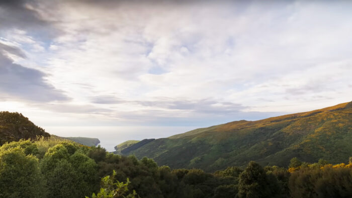
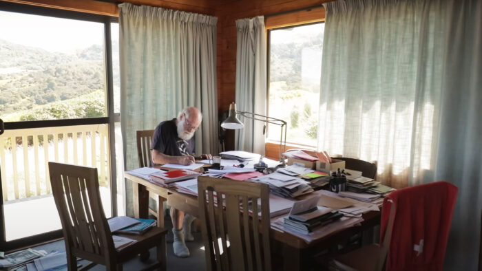
There are no motorized vehicles in the nature reserve, so Wilson begins each day with a walk to his current work site — a journey that sometimes takes him as much as two hours. He works all day and then treks back home. After dinner and a pipe, he turns to his management tasks, handling piles of the Hinewai Nature Reserve's paperwork late into the evening. Then he goes to bed, gets up, and does it all over again.
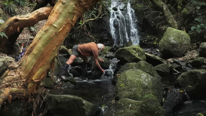
The result is spectacular. The once dry, grassy land in the reserve has largely returned to the lush forest it once was. Streams flow, even in the dry season, and there are 47 waterfalls on the property (that Wilson has found so far). And from the very beginning, the reserve has been open to the public.
"I think the community is now by and large in support of Hinewai," a local farmer says toward the end of the film. "We realized that the way farming was done over the years had to be changed. And I think what [Wilson] has done is helped people realize that it can be done. In a good way."
The world's largest iceberg might be on a collision course for South Georgia Island. If it grounds on the continental shelf there, it could seriously disrupt wildlife and shipping in the area.
A23a broke off from Antarctica's Filchner Ice Shelf in 1986. It hung around for decades in the Weddell Sea before it started to drift northward. Four years later, it became trapped in a swirling underwater vortex called a Taylor column. The mega-berg spent the months between May and December 2024 stuck in one spot, slowly rotating about 15 degrees daily. Then, just before the end of the year, it broke free and headed north again.
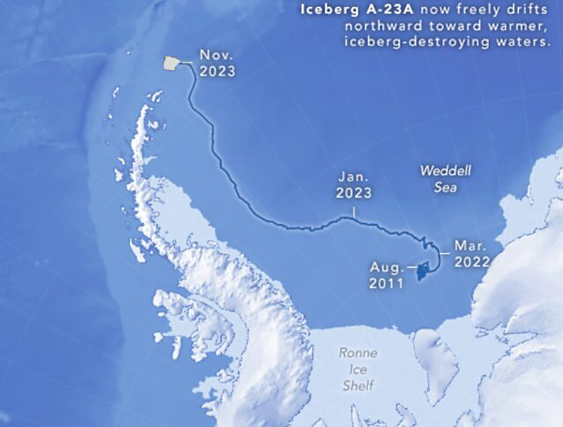
Now, it appears to be on track to smack into South Georgia Island, a British Overseas Territory. Currently, A23a is about 280km from the island.
South Georgia will be familiar to many fans of polar exploration. It's the spot where Ernest Shackleton and five men landed after an incredible 1,300km open-boat journey while seeking rescue from the doomed Endurance expedition.
How to measure an iceberg
It's hard to overstate just how large A23a is. While it's lost about 400 square kilometers of its original 3,900 square kilometers, it's roughly the size of one Rhode Island, 2.2 Londons, or 1.5 million Ernest Shackletons huddled shoulder to shoulder.
A23a's walls reach as high as 400 meters, or 1,666 ship's cats standing atop one another.
"Icebergs are inherently dangerous. I would be extraordinarily happy if it just completely missed us," Simon Wallace, a local sea captain, told the BBC.
Wallace's concern is legitimate. A23a has already started to deteriorate in the relatively warmer waters it now floats through. If it grounds onto South Georgia, it will continue breaking apart, filling the water with chunks as large as sports arenas. That will be a major hazard to the fishing vessels that navigate nearby. A23a could also have an ecological impact.

Capacity to adapt
Icebergs grounding on South Georgia Island are relatively common because of the island's location. But the larger they are, the more catastrophic the potential.
"A close-in iceberg has massive implications for where land-based predators might be able to forage," Professor Geraint Tarling, British Antarctic Survey (BAS), explained to the BBC in 2020.
"When you're talking about penguins and seals during the period that's really crucial to them — during pup and chick-rearing — the actual distance they have to travel to find food (fish and krill) really matters. If they have to do a big detour, it means they're not going to get back to their young in time to prevent them from starving to death."
The mega-berg could also damage and disturb organisms on the ocean floor. But it's all part of the natural order, Mark Belchier, a marine ecologist who advises the South Georgian government, noted.
"South Georgia sits in Iceberg Alley, so impacts are to be expected for both fisheries and wildlife, and both have a great capacity to adapt," he said.
The 2024-25 Antarctic expedition season ended this week. Over the last two months, skiers on six different routes attempted a mix of South Pole pushes, crossings, and climbs. While most skiers went solo and unsupported, one conducted her expedition with support, and a few more had to accept unplanned support along the way. Three Norwegian skiers tried and failed to break speed records, and an ambitious full, solo, unsupported crossing of the continent ran into trouble from the start.
Here's a recap.
Crossings
The most ambitious expedition of the year, Ashkay Nanavati's solo, unsupported crossing of Antarctica was always a long shot. The former soldier is an accomplished ultra-endurance athlete, but hauling 181kg for 2,735km over 110 days proved too much for him.
Soft snow on Berkner Island plagued the American shortly after he began, setting him immediately behind schedule. Imperfect conditions continued to put him behind as the days rolled on, forcing him to dig deep to try and make up time. In the final weeks, injuries began to crop up, forcing him into a pattern of a full day of hauling, followed by a half day, followed by a rest day. In the final week, Nanavati had conceded that he wouldn't complete his crossing but wanted to stay on the ice for his full 110 days.
View this post on Instagram
But even that plan was scrapped when he developed diverticulitis, an inflammation of the lining in the lower intestine. With symptoms like dizziness and back and gut pain setting in, Nanavati accepted a medical evacuation after 60 days and 800km.
Youngmi Kim's supported inland crossing ended successfully after 70 days when the South Korean reached her destination at the base of the Leverett Glacier. Kim's expedition began shakily, with the skier experiencing equipment difficulties and other small issues. But she found her stride, eventually settling into a problem-free groove. Kim resupplied at the South Pole and had an uneventful final half of her journey to Leverett.
Record attempts along the Hercules Inlet route
It was an exciting year for fans of Norwegian skiing, as three citizens of that country attempted to beat speed records along the 1,130km Hercules Inlet route.
Hege Victoria came the closest to success. She aborted her attempt on the women's speed record with less than 100km to go. For the first half of her expedition, Victoria was slightly behind Preet Chandi's pace from last year, but by roughly halfway, she'd drawn even with Chandi. She even managed to edge out ahead of Chandi's pace as she entered the final third of the route. Chandi's overall time had been 31 days, 13 hours, and 19 minutes.
But Victoria's margins weren't wide enough to overcome poor weather and whiteouts as she neared the Pole. As a storm set in between the 86th and 87th parallel, Victoria began slowing down. She called it quits on the speed run at the 89th parallel and completed her push to the Pole at a more sedate pace.
View this post on Instagram
Arne-Kristian Teigland of Norway began his attempt to break Vincent Colliard’s scorching 22-day, 6-hour, 8-minute Hercules Inlet record from last year on a good footing. He stayed just ahead of Colliard's pace all the way, but a fainting spell took him out of commission after 932km. He was medically evacuated to Union Glacier and is in good health now. Teigland was well-trained and well-prepared, and his failed attempt showcases just how fast Colliard's record really is.
Kristin Harila never formally acknowledged she was going for a record, but her pace proved she had it on her mind. She cranked long days from the get-go, frequently logging over 45km. But a back injury early in the expedition proved an insurmountable hurdle. After running through all her pain meds, Harila aborted after 20 days and around 700km.
View this post on Instagram
Other skiers on the Hercules Inlet route
Skiers not attempting records along the Hercules Inlet route had mostly problem-free expeditions. Satish Gogineni, Catherine Buford, and Karen Kylleso all completed their solo, unsupported journeys with consistent skiing and no equipment malfunctions.
Meanwhile, Danish skier Rasmus Kragh will reach the Pole today. Kragh struggled to complete the distance with the food he was carrying. He eventually had to rely on an emergency food cache. When it first became apparent that Kragh was running low on food, he picked up steam and began interspersing 30km efforts with six hours of sleep. While this this strategy covered more ground, it left his body even more calorie-deficient than before, necessitating the resupply.
Messner Start to South Pole
Meanwhile, the 911km Messner Start route was not without its drama.
John Huntington finished his solo, unsupported effort strong after a mostly uneventful journey. He completed the route in 45 days, logging consistent 20km days.
Ali Riza Bilal had more trouble. Haunted by equipment failures, Bilal's biggest setback was a broken ski binding that slowed him down and caused lingering leg pain. He eventually accepted a replacement binding and additional food supplies, meaning his previously unsupported effort became supported.
View this post on Instagram
Bilal also struggled with the mental side of the expedition, often referencing feelings of loneliness or despair in his updates. Despite that, Bilal reached the Pole in 51 days.
Other routes
Frederick Fennessy wrapped up his 1,400km expedition from Berkner Island to the Pole after 56 days of consistent effort. Fennessy's updates often mentioned the physical effort, and he made frequent notes about the cold in the final weeks of the journey. But he logged a steady 25km daily average and completed the expedition with no injury or other setbacks.
Meanwhile, James McAlloon and guide Robert Smith's Constellation Inlet to Mt. Vinson summit expedition also succeeded. The pair summited Vinson on January 5 after taking a different route up the mountain than they'd planned. McAlloon had some breathing problems near the summit but not enough to abort the climb. His breathing returned to normal after descending.
Mila Del La Rue comes by her free-riding chops honestly. Described as a skiing prodigy, the 18-year-old's father (Xavier) and uncle (Victor) are also big names in the free-ride snowboarding world.
Of a Lifetime is a 45-minute North Face film that chronicles the three as they venture to Antarctica in the company of a boat crew and mountain guide. The mission? Free-ride that continent's steep shorelines.
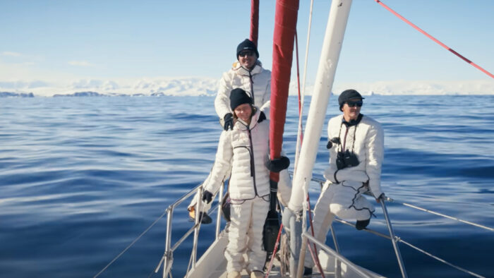
But first, they'll have to get there, a journey that requires five weeks on a small boat, with a notable journey through the Drake Passage. The famously treacherous stretch of water connects the Atlantic and Pacific oceans between the southern tip of Chile and the South Shetland Islands. The Antarctic Circumpolar Current blasts through the passage unchecked, and seas can top 12m. The resulting seasickness is not a great way to prepare for a ski excursion.

Mila spends most of the passage in a bunk, trying to hold down the last thing she drank, much to the amusement of her father. But in a theme that runs through the film, Mila is determined not to disappoint her accomplished family.

Bonding in Antarctica
"I'd like to go as far as them because I love skiing," she narrates.
For his part, Xavier sees the trip as a moment to grow closer to his family.
"Because of the age gap, Victor and I were always so far apart. Like living parallel lives. It's been forever since our last trip together, so now is the moment to finally reunite," he says.
In the first few days of the expedition, Xavier and Victor head off to tackle uber-steep lines with overhanging cornices while Mila gets the hang of ice axes and crampons under guide David's tutelage. But they don't call her a prodigy for nothing. Soon enough, Mila is ascending capably. But it's when she straps on skis and points herself downhill that the magic happens. She handles herself just like you'd expect — at first.
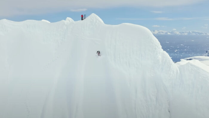
As the expedition continues, the lines get more intense for the Del La Rue family. Here Mila's youth comes into play again. Without the life experience of the older athletes, she freezes halfway down a steep run and breaks down into tears.
Blocked by fear
"I feel blocked by fear between crevasses, seracs, the rocks, and the ocean below. I keep imagining falling at any moment. I want to go back on the boat and feel secure. I doubt myself and my capabilities," she admits over tense action-cam footage of her shaky descent.
"I keep asking myself these questions," she continues. "Am I gonna feel this fear constantly? And I do have the [skill] level?"
For Xavier, the moment is a test of fatherhood. He's never seen his daughter freeze up like that. She's always been a fearless tagalong on his adventures.
"I wish I knew how to help her," he says as Mila grows increasingly short-tempered and withdrawn.
A little father-daughter heart-to-heart conducted Del La Rue style — which is to say at the top of a couloir after an exhausting ascent — does the trick. Xavier admonishes Mila for her fear-driven lack of communication, while Mila accuses her father of being too risky. Both agree to change their ways moving forward. The pair descend, whooping with joy.
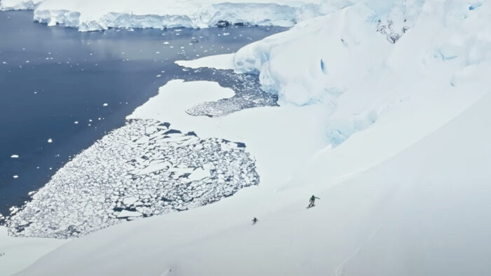
Of a Lifetime is a classic ski film in many ways. Scenes of prep, scouting, and good times are punctuated by long, adrenaline-fueled skiing and riding sequences. The filmmaking team captures it all beautifully, making the best of the Antarctic backdrop and the Del La Rue family's easy charm.
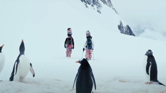
A different family film
But at its heart, Of a Lifetime is a film about family, with all the connection, disagreement, and reconnection that concept contains.
"I've had plenty of time to think," Mila narrates in the film's closing moments. "And now I know what I really want. I want to learn to do things my own way. And I want to be strong. Because I didn't have this mindset before. So I want to say thank you, Dad. For bringing me on the trip of a lifetime. It sounds cliche, but I'll never forget it."
Youngmi Kim's supported island crossing is nearing its finish. Skiers on the Hercules Inlet, Berkner Island, and Messner Start routes all reached the South Pole earlier this week, with one exception.
Crossing
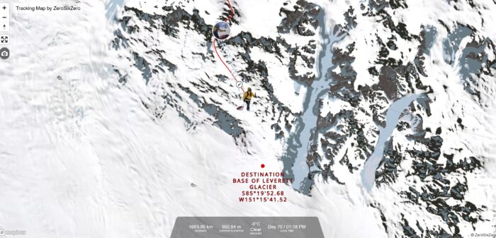
South Korean Youngmi Kim's solo, supported inland crossing is nearly at an end. Seventy days in, she's skied 1,684km of her route's proposed 1,700km. She'll likely reach her finish at the base of the Leverett Glacier tomorrow.
Kim's been enjoying the change of scenery since resupplying at the Pole and reaching the glacier.
"The scenery of Leverett Glacier is so nice and beautiful that my eyes keep wandering around. It's a shame I have to hurry," she said in an update, likely referencing her dwindling supplies.
Hercules Inlet to the South Pole
Indian skier Satish Gogineni finished up his polar journey in 51 days, averaging 22km per day. The skier put in consistent work on the solo, unsupported journey along the 1,130km Hercules Inlet route. Gogineni had a mostly uneventful trek, with no injuries or equipment failures to speak of.
View this post on Instagram
Danish skier Rasmus Kragh's strong 30km efforts over the last few weeks have caught up with him. Earlier this week, Kragh reported swelling and discoloration in his legs, the result of his body breaking down his muscles for energy. Calorie management has been an ongoing issue for Kragh during the final half of his polar push. On day 52, he decided to detour to a buried food cache, ending the "unsupported" part of his solo trek.
"It's not about my ego," the Dane said in an update. With food no longer an issue, he's taking it easier and is around 100km from the finish.
Catherine Buford of the UK reached the South Pole on day 53, putting in a solid 33km day to shuffle in at 8:30 pm. Between sips of champagne, Buford referenced Liv Arnesen, the first woman to ski solo and unsupported to the South Pole.
Buford averaged slightly over 21km per day.
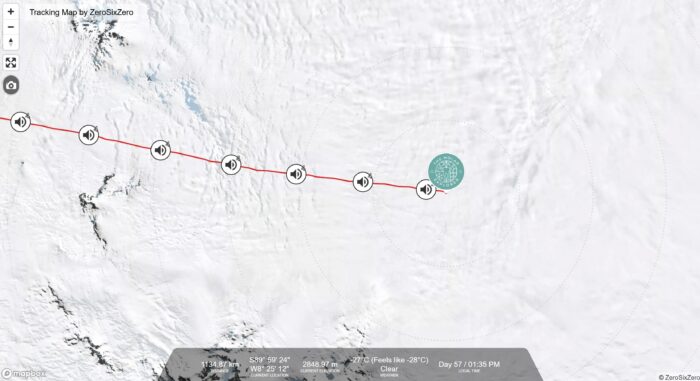
Norwegian Karen Kylleso also finished this week, logging just under 21km per day in 54 days.
"Now, I will spend a little time recuperating," said the 21-year-old Norwegian. Her journey has been mostly problem-free, as her brief but cheerful updates constantly indicated.
View this post on Instagram
Messner Start to South Pole
Ali Riza Bilal of Turkey skied 911km from the Messner Start to the Pole in 51 days. He suffered equipment failures of all types and had to accept a resupply after a broken ski binding.
View this post on Instagram
Berkner Island to South Pole
Frederick Fennessy's 1,400km expedition from Berkner Island to the Pole concluded on January 9 after 56 days. Fennessy logged 25km days on average, powering through an "incredibly cold and tough" final few days. Fennessy says the accomplishment completes "something I've been working toward for over half a decade."
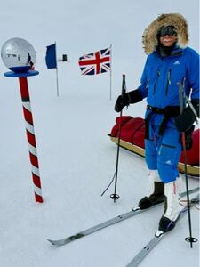
It was the day after Christmas 1971, and Juliane Koepcke awoke on the shadow-striped floor of the Peruvian rainforest. She was buckled into a three-person airline bench seat. The plane itself has disintegrated in midair; just the bench seat remained.
The night before, Koepcke had been traveling with her mother from Lima to Pucallpa aboard LANSA Flight 508. The women were on the way back to back home after picking up Koepcke's high school diploma. The child of two German expat scientists living and working in Peru, Koepcke had been taking classes on and off for years. She was proud of her accomplishment. She saved up to buy a fancy dress for the occasion and convinced her parents she should attend the ceremony in person.
Her mother booked tickets on a Lineas Aéreas Nacionales Sociedad Anonima (LANSA) Lockheed L-188A Electra turboprop for the return journey. This was over Koepcke's father's objections — the airline and plane had bad reputations in Peru. The year before, a LANSA flight had crashed, killing all but one of 100 souls aboard.

“Please don’t fly with LANSA. Any other airline but not LANSA," Koepcke remembered her father saying.
"I think it will be okay," her mother responded. She booked the seats, the only two available on Christmas Eve.
It wasn't okay.
Taking stock
Regaining consciousness in the jungle, she unbuckled and took stock of herself. A 17-year-old girl in a cotton mini-dress with a broken zipper. One white sandal. A bag of hard candies. A concussion, a broken collarbone, and a large cut on her leg. An eye injury. Kilometer upon kilometer of trackless rainforest in every direction. And teenage years that had, improbably, prepared her for just such an occasion.

In 1968, Koepcke's family transitioned from an urban life in Lima to a jungle existence, running a research station in the middle of the Amazon rainforest. Koepcke was fourteen, and at fourteen, you have two options in such a situation: Rail against it with all your might or adapt. Koepcke adapted.
In the morning, her family homeschooled her, and in the afternoons and evenings, she rambled the forest, soaking up knowledge from her jungle-savvy parents. For 18 months, she learned how to move through the jungle, how to avoid poisonous plants and dangerous animals, and above all, the mental fortitude the landscape demands. There's no escaping the bugs, as Percy Fawcett and dozens of other South American explorers have learned.
Above all, she absorbed a key lesson in jungle navigation for the lost — follow a trickle until it becomes a stream, follow a stream until it becomes a river, follow a river until it becomes a larger river. Eventually, you'll find people. If you can stay alive long enough.
But none of the training in the world can prepare you to fall three kilometers from a disintegrating plane. To survive that, it takes luck and plenty of it.
'Now it's all over'
Koepcke and her mother were in a window seat, two rows from the rear. The flight was smooth until the plane descended into a thundercloud in preparation for landing.
"Suddenly, it went very dark as we entered the storm. The turbulence was terrible. Parcels, jackets, bags fell from the overhead lockers, Christmas cakes, and gifts," she said. "People began to cry and panic. Then I saw a blinding white light over the right wing."
It was a lightning strike. Kopecke remembers her mother saying, "Now it's all over," and then the sounds of 90 other passengers and crew crying out in terror. The deafening roar of engines, the feel of the aircraft in a nose dive. And then:
"The noise was gone. I was outside the plane, and it was completely quiet," she remembered.
How could she fall three kilometers strapped to an airline seat and survive?
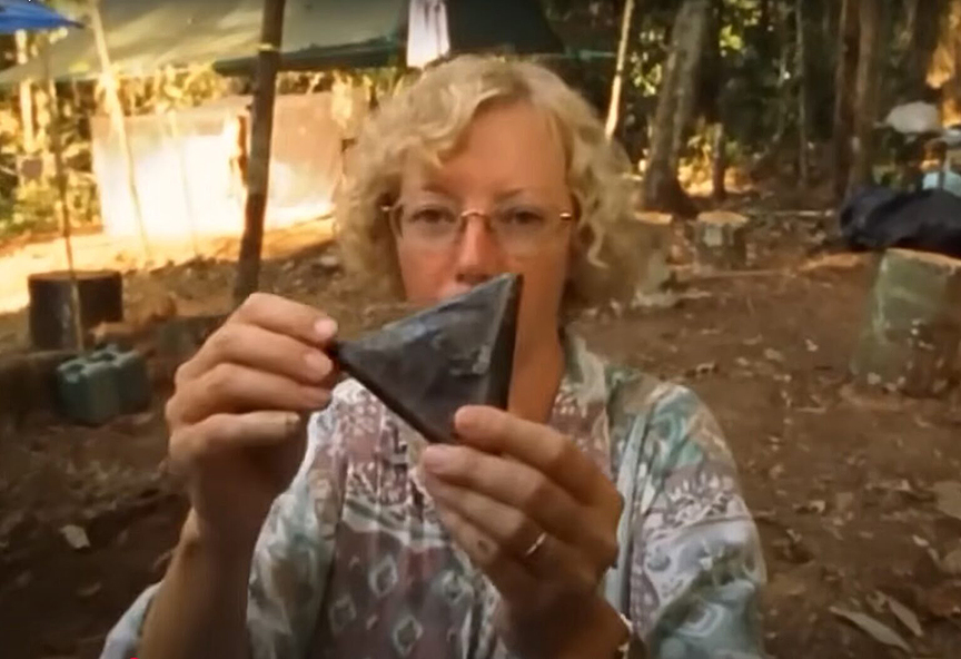
Aided by experts, she's come up with four theories. The seat spun in flight like a maple seed falling from a tree, slowing her fall. A powerful updraft from the storm similarly slowed her. The jungle's densely woven canopy provided a kind of safety net. And finally, her seat, through random chance, hit the ground with her on top, not underneath.
Chances are it was some combination of all four.
Bird calls
Regardless of how it happened, Koepcke was alive. Injured, traumatized, and mourning the likely death of her mother. But alive, and with the kind of mind that sets survivors apart from the pack.
"I felt no fear because it was the same environment I knew from home," she said of the moment.
So to business. She knew the jungle she was in was uninhabited but that her plane had been 15 minutes from landing. She knew she'd have to rescue herself if she wanted to live. And she knew she had to find water, both to drink and to follow to rescue. She set out in search of a stream and found one.
Her candy, only meant to sustain her on a short flight, ran out after four days. She slapped endlessly at bugs, and a cut on her arm became infested with botfly maggots. She suffered the rainy season's relentless precipitation, and when it wasn't raining, her skin burned from the sun. She stepped carefully, as her parents had taught her, but it was a challenge — she'd lost her glasses somewhere between sky and earth.
Another horror
To make matters worse, after a few days following the stream, she came upon a fresh horror. Another airplane seat — this time with dead passengers buried upside down in the mud. She investigated them just long enough to ascertain none of them were her mother, then moved on.
Afraid of stepping on a venomous snake with her poor vision, and growing ever weaker, she used the stream for travel, floating mid-current to avoid shallow pools where something might take a bite out of her. Hearing a distinctive bird call, a lesson from her ornithologist mother resurfaced.
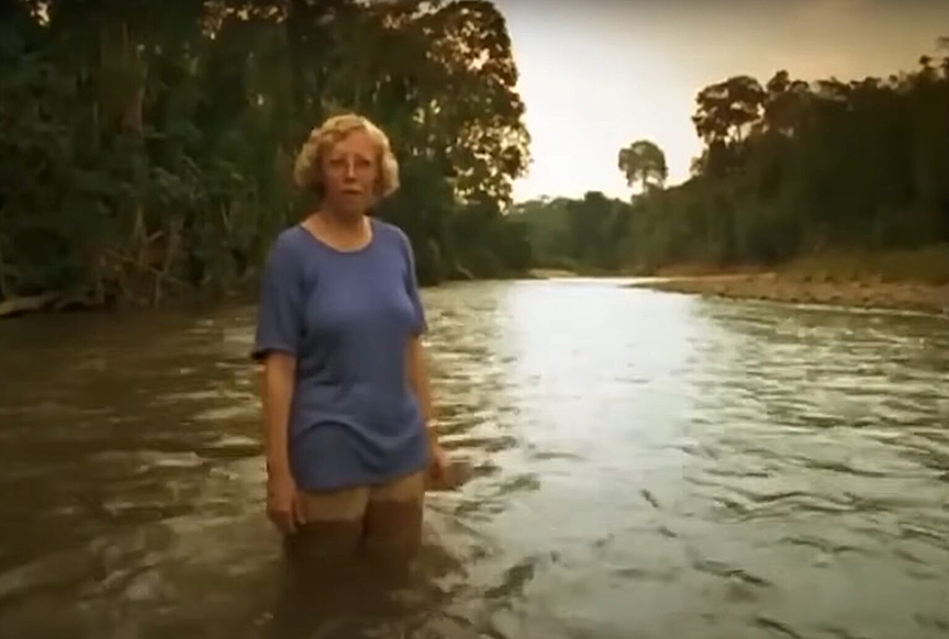
"You only find hoatzins near larger rivers, open water," her mother had said. The bird calls were coming from a different direction than she was traveling along the stream. It was an inflection point, the kind of decision you only get the chance to make once in a survival situation.
Koepcke left the stream and pushed through the understory, following the bird song. Her gamble paid off. She found a large river.

She traveled along the waterway for days, surviving on her wits and skills and particular brand of luck in equal measure. She managed to avoid attack by any large predators, and a failed attempt to catch and eat a poison arrow frog probably saved her life. Finally, after ten days in the jungle, she stumbled into a rarely visited logging camp, complete with a hut and a boat. Her luck held. The men who worked the camp returned the next day.
The cut on her arm later produced more than fifty botfly maggots.
PTSD
There's no surviving something like that without bearing some scars, mental and physical. For Juliane Koepcke, the mental side has been a more challenging road. Heartbroken by the loss of his wife, her father withdrew into his work, and Koepcke was estranged from him for many years.
She suffered traumatic dreams, long crying spells, and other reminders of her ordeal. All this was worsened by the knowledge that other passengers — including her mother — may have survived the crash but perished in the jungle while waiting for help.

"My father thought she’d survived for nearly two weeks –- perhaps up to January 6, because when he went to identify her body, it wasn’t as decomposed as you’d expect in that environment," she said. "It’s very warm and humid, and there are lots of animals that would eat dead bodies. He thought she’d broken her backbone or her pelvis and couldn’t move. It bothers me very much. I think, what must it have been like for her in those last days there?"
Enter Werner Herzog
There was media furor when Koepcke stumbled out of the jungle, but eventually, the attention was too much to bear. She started turning down interview requests, a pattern she held for the next thirty years. She earned her doctorate and returned to Peru to study bats before settling into a comfortable existence as a librarian at the Bavarian State Collection of Zoology in Munich. She married and became a rainforest conservation advocate. Mostly, though, she stayed out of the limelight, trying and mostly failing to process things in her own way.
When filmmaker Werner Herzog contacted her for his 1998 documentary Wings of Hope, she finally broke her media silence. Herzog, long fascinated by death and mortality as subjects, was originally scheduled to be on LANSA Flight 508. A last-minute change of plans in his location scouting itinerary saved his life, and it took him decades to track her down. Koepecke agreed to fly with Herzog to revisit the site of the crash, an experience she later called "a kind of therapy."

Unfinished business
Making the film was a surprising mental and emotional balm for Koepcke. Over a decade later, she wrote When I Fell from the Sky: The True Story of One Woman’s Miraculous Survival. In interviews surrounding the book's release, she describes writing it as a necessary act, a completion of unfinished business.
So how do you survive a fall from the sky followed by ten days in a jungle? Training, clear-thinking, and knowing when to make hard calls. A heaping portion of grit. Fortitude. And lots and lots of luck.
If you've got all that, you've got a chance. But as Koepcke will tell you, it's what comes after that sometimes feels more challenging to survive.
"It landed right between my legs, where I [had been standing]."
That's never a comfortable sentence to say out loud. But when the "it" in question is a meteorite traveling at 100 to 200 meters per second, it's doubly uncomfortable.
That's exactly what happened to Prince Edward Island resident Joe Velaidum in July 2024. Velaidum and partner Laura Kelly took their dogs on a walk, and when they returned, they noticed a strange pile of debris on the walkway outside their home. A glance at their security system revealed something amazing — video (complete with sound) of a meteorite landing just outside their front door.
“It sounded like a loud, crashing, gunshot bang,” Velaidum told CTV news earlier this week. Velaidum had been standing in that exact spot, bending over to pick up his dog's leash, two minutes earlier.
Check out the vid for yourself:
The couple submitted the footage to the University of Alberta's meteorite reporting system. Two weeks later, Chris Herd, the University of Alberta’s meteorite collection curator, was knocking on the door. Herd had been planning a family vacation on the island, so the meteorite strike was a unique chance to mix business and pleasure.
“My wife and I went over; we actually took our son and his girlfriend to help,” Herd noted. "We used a kitchen scale [to measure the sample) and documented everything...The whole thing was really cool."
A unique event
Although meteorites hit the ground all the time, this is the first time a video has caught the actual moment of impact, including the sound. The space rock is also the first meteorite strike recorded on Prince Edward Island.
And while Velaidum is happy scientists will be able to learn from the footage and the sample, he's mostly just relieved he doesn't have a meteorite-shaped hole in his torso.
“I have been thinking about it a lot because, you know, when you have a near-death experience, it kind of shocks you," he said.
When phosphate miners in Morocco accidentally uncovered a fossil in 2021, it seemed too good to be true.
Nick Longrich, a paleontologist from the University of Bath, examined the jawbone and four teeth, then wrote a paper describing the fossil as belonging to a new species of mosasaur -- a large carnivorous marine reptile that lived during the Cretaceous period. He published his paper in 2021, and it made waves in paleontology circles.
Unfortunately, things that seem too good to be true usually are. That could be the case with the mosasaur fossil, according to a study published last month in the journal The Anatomical Record.
In the 2021 paper, Longrich and his co-authors pointed to the unique arrangement of the fossil's teeth as evidence that it belonged to an unknown species of mosasaur. Longrich dubbed the find Xenodens calminechari. Every other known mosasaur fossil has one tooth per tooth socket. X. calminechari has two teeth per socket.
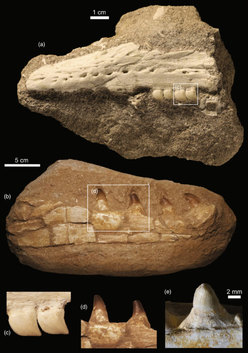
A second look
This odd fact, combined with the jaw's discovery in a region known for producing fossil forgeries, prompted Henry Sharpe, a researcher at the University of Alberta, to do a little additional peer review.
A final troubling note — two of the teeth have a little extra bone material intruding on them, a feature called "medial overlap." That's not typical for mosasaurs at all, Sharpe's team noted in its paper.
"The fact that there's that medial overlap is a huge indicator" of a possible forgery, Mark Powers, study co-author, told Live Science.
Fake fossils are big business in Morocco. It has some of the world's richest fossil beds, and more than 50,000 people make a living in the fossil trade.
As Sharpe and his team point out, there's a relatively simple way to prove the fossil is legit — subject it to a computed tomography (CT) scan. But Longrich wasn't too happy about that prospect.

Extremely gauche
According to Sharpe, Longrich asked him if his team was writing a paper on the fossil, and "if so, what's the angle of that paper?" Then he denied Sharpe's request for a CT scan.
Longrich's reaction "raised immediate red flags," Sharpe said. Sharpe was especially upset because the Morocco fossil is a new species. In scientific circles, it's considered extremely gauche to withhold access to new species.
"That's totally unethical that he would even request that," Sharpe said.
Sharpe and his co-authors finish their paper by formally suggesting the Morocco fossil be subjected to a CT scan. As to whether pressure from the scientific community will cause Longrich to change his mind — that remains to be seen.
On the border between Chile and Argentina, on the edges of a turquoise lake in the heart of Patagonia, one of the world's most visually spectacular cave systems awaits.
Known variously as Capillas de Mármol, The Marble Chapel, or the Marble Caves, the caverns comprise smooth, striated marble that sit just above the waterline of the glacier-fed lake. When you combine the glossy surface of the marble with the light reflecting off the glacier silt in the water, you get a colorful show that, at first glance, seems more at home in a sci-fi movie than on good old planet Earth. Throw in vaults, columns, and chambers carved out by erosion, and you have a natural wonder for the ages.

“They were formed at temperatures of around 300˚C to 400˚C, between 10 and 15km underground,” geologist Francisco Herve told the BBC.
The caverns started out as limestone before the planet's intense heat and pressure transformed them into marble. The cake-like layers are the result of varying mineral compositions, with the whitest parts mostly made out of calcium carbonate.
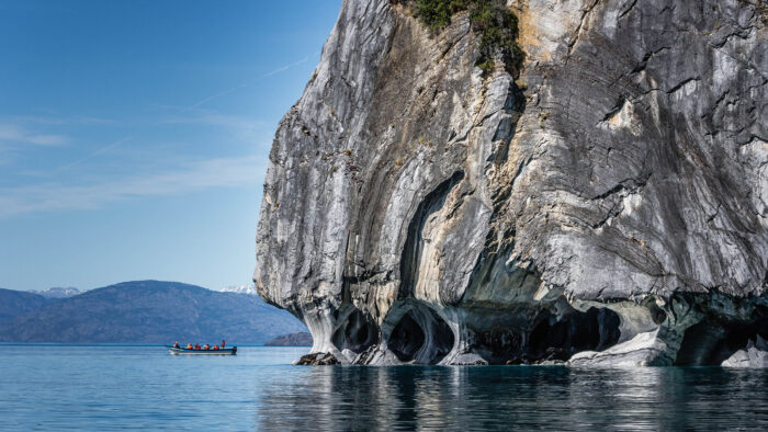
Fast-acting erosion
"These calcareous rocks...are among the most soluble that exist,” Herve explained.
That means the erosion that formed the caves themselves probably happened quickly, shortly after the glaciers that carved Patagonia's iconic landscape began to recede. That was probably about 10,000 to 15,000 years ago, the geologist said. And by "quickly," we mean that relatively. Scientists estimate the process took about 6,000 years.
As for why glacial silt produces such a shocking blue-green color? An accident of physics. The pulverized dust that used to be mountains happens to absorb short-wavelength light (purples and indigos) while reflecting blues and greens.
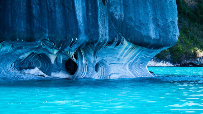
The Marble Caves are part of a larger cave group that dots the shores of Lago General Carrera. No one knows who "discovered" the caves — people have likely known about them since they developed. Humans have continuously inhabited that portion of Chile for over 12,000 years, meaning they would have gotten to watch the caves develop over hundreds of generations.
The whole area was designated a natural sanctuary in 1994 to help preserve it for future generations. But that doesn't mean you can't visit it.
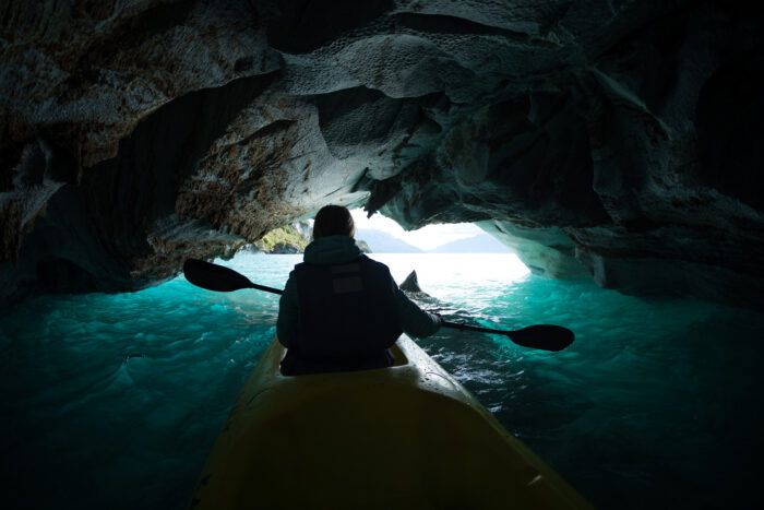
Tourism over ranching
Three decades ago, everyone in the area was involved in the cattle industry. Now a good chunk of the local population works in tourism. The Capillas de Mármol is only accessible by boat, and locals from the nearby hamlet of Puerto Río Tranquilo are on hand to facilitate trips. According to several travel websites, spring and fall are the best times to catch the caves at the perfect synthesis of water level and reflected light.
Fictional mystery stories are nice and tidy — all the puzzle pieces slotting nicely into place, every thread untangled, every question answered. But real-life mysteries are rarely like that. Especially historical mysteries. Time has a way of obscuring events that were confusing to begin with.
Such is the case with the "Mad Gasser of Mattoon," also known quite spectacularly as the "Anesthetic Prowler" and the "Phantom Anesthetist." Over a period of several weeks in 1944, in a small town in Illinois, dozens of people reported a sickly sweet smell followed by lower-body paralysis, coughing, nausea, and vomiting. More worrisome, several affected people reported seeing a figure described variously as "tall and dressed in black," "ape-like," or even "a woman dressed as a man." The symptoms almost always cleared up within the hour, and no one was seriously injured or even hospitalized.
Curiously, the whole thing stopped by itself in less than a month.
The mystery is a fascinating one to study, because even though it occurred over 80 years ago, the lessons it teaches — about communities under stress and the creeping power of fear — are timeless.
A shape in the dark
August 31, 1944. A man named Urban Raef woke up to a strange smell and a fit of vomiting. His wife, concerned that their gas stove was to blame, tried to get up to check it. But she was paralyzed from the waist down, unable to leave the bed.
Later that night or the next morning (accounts vary), a young mother living nearby had a similar experience. She woke to the sound of her child coughing but was unable to leave the bed to investigate.
The next night, on September 1, things escalated.
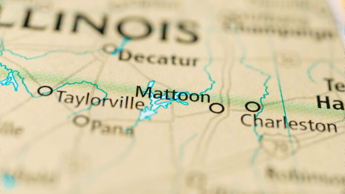
At 11 pm, Aline Kearney noticed a powerful, sickly sweet smell. Quickly after that, she began to cough and lose feeling in her legs. Her daughter, sharing a bedroom with her, had the same symptoms. Kearney's sister, Mrs. Ready, also noticed the smell and identified it as coming from a nearby open window.
At 12:30 am, Aline's husband, Bert Kearney, arrived home from his taxi-driving job and noticed a shadowy figure lurking near another of the house's windows. Kearney tried to chase the darkly clothed man but came up empty. The family called the police, but there was no evidence the man was ever there.
All of the people affected by the strange symptoms during those two evenings recovered within hours, to no lasting effect.
Power of the press
Authorities at the time, as well as later historians and psychologists, believe these accounts are mostly true. Something was probably going on, and it could have been a number of things. But what came next, well, that's harder to untangle.
An excitable press got wind of the stories, and the Mad Gasser of Mattoon was born.
After story hit the papers, an avalanche of reports came in. And wouldn't you know it, most of them described similar symptoms and the same dark, ominous figure.
Other details cropped up. Here, a cloth smelling of a mysterious chemical. There, a "well-used" skeleton key. Footprints under windows. Slits in window screens. Mrs. Leonard Burrel claimed she was lying in her bed when a dark shape broke through and tried to gas her. Some people claimed they'd been attacked months before. A local fortune teller excitedly told anyone who would listen that an "ape-like man with long arms, reaching out, holding a spray gun" had blown arm-numbing clouds of gas in her direction.

A panicked public
Panic spread. Armed vigilantes patrolled at night, and a woman blew a hole in her wall trying to load her husband's shotgun. The army brought in a chemical weapons expert to investigate. The FBI got involved. Local authorities threw half a dozen theories at the wall, looking for anything that stuck.
A disgruntled high-school chemistry teacher? German or Japanese saboteurs? A sociopath? An escaped mental patient?
But as the weeks went on, the police and FBI never turned up any physical evidence of the shadowy figure. The Army's chemical weapons expert never found anything suspicious at the scenes. Mattoon Police Chief Eugene C. Cole's eventual theory was of lingering chemicals from a nearby factory producing shell casings for the war effort. But after one of the "victims" turned out to have been smelling a spilled bottle of nail polish, he developed a new idea: good old-fashioned mass hysteria (now called mass psychological disturbances).
When the press reported this new theory — and Mattoon's public health officials got on board with the idea — the reports petered out.
The powder keg
The timeline of attacks has Urban Raef, his wife, and the nearby mother as the first victims. But it's important to note that the Kearney family was the first to report both the "gas attack" and the "shadowy figure" to the police, and their account was the first to appear in papers.
Complicating this all is that one of the newspapers ran a headline that screamed: "Mrs. Kearney and Daughter First Victims" (emphasis ExplorersWeb). So it's entirely possible that later accounts came from an assumption that other attacks were soon on the way. As more attacks were reported, more people came forward with attacks. A pernicious self-feeding frenzy began.
And what about the Kearney family? It seems likely that Aline Kearney did experience some kind of temporary medical problem, but what it was is unknown. Did Bert Kearney see a figure lurking under his window? Maybe, but eyewitness statements are notably untrustworthy.

Wartime paranoia
And you have to remember what kind of atmosphere existed in 1944. The country was at war, towns were empty of young and middle-aged men, and the fear of sabotage or domestic attacks was ever-present. Most Americans expected to see enemies around any corner at any time. It was, in essence, a powder keg — into which one woman's fleeting and mysterious illness threw a match.
That's the tack that most research into Mattoon's Mad Gasser has taken in the years since. The incident has become a case study for how news cycles and the public interact (and if that isn't a relevant lesson for today's world, nothing is.) Every few decades, another researcher publishes a paper that comes to the same conclusion. Some kind of inciting incident — be it a one-off attack, a short-lived chemical spill, an isolated medical issue, or a war-and-stress-related flight of imagination — caused a self-perpetuating panic.
But of course, we'll never really know for sure, will we? That's what makes it a good mystery.
History drones on
If this sounds familiar, consider the recent and mysterious New Jersey drones. What began as a single sighting of unidentified drones in mid-November has become a six-state, daily phenomenon. Political figures all the way up to the President-elect have weighed in, the Army is involved, and multiple "sightings" have turned out to be airplanes, planets, or other easily explainable things. Easiest explanation? Lots of people have drones and fly them where they shouldn't — especially since reporting on the sightings has become so ubiquitous that drone owners are curious about what's up there.
We've come a long way from our grandparents in terms of technology, and in many ways, the world we live in is radically different than it was 80 years ago.
But if there's an enduring lesson to history, it's this — people are people.
With less than 100km to go, Hege Victoria has aborted her attempt to break the woman's speed record to the South Pole. She will still finish her expedition, though at a slower pace.
The Norwegian woman had been attempting to ski the 1,130km Hercules Inlet to South Pole route in less than 31 days, 13 hours, and 19 minutes -- the time set by Preet Chandi last year.
During Victoria's first few weeks on the ice, she lagged just a few kilometers behind Chandi. Early last week, she pulled even, then slightly ahead. But the lead she managed to eke out wasn't significant enough to overcome the slowdowns since the 86th parallel. Sastrugi, whiteouts, and, above all, weather played their part in the last-minute failure. Eventually, the outcome was obvious.
"89 degrees south. Hege Victoria chose today to calm down with some rest when she realized that it was not possible to reach the South Pole within the record time," her team wrote in an Instagram post. "The weather is the rule, and she can't do anything about it. According to [explorer and polar travel coach] Lars Ebbesen, she has been unlucky and has had a lot of demanding weather since 86/87 degrees."
View this post on Instagram
No records this year
With Victoria's effort halted, the speed record season in Antarctica draws to a close. Arne-Kristian Teigland’s push to break Vincent Colliard's 22-day, 6-hour, 8-minute Hercules Inlet record from last year ended after 932km. Tiegland was medically evacuated after a fainting spell. Until the incident, he'd remained ahead of Colliard's pace.
Shortly before that, fellow Norwegian skier Kristin Harila bowed out after logging monumental early days on the ice but incurring a back injury in the process. After skiing through the pain for weeks (and running out of painkillers), Harilia called it quits after 20 days.
Unlike those two, it appears that Victoria will continue toward the Pole — this time, without the pressures of a ticking clock.
View this post on Instagram
Justin Barbour's name might be familiar to regular ExplorersWeb readers. The school teacher-turned-content-creator and adventurer's 3,800km trek from Northern Quebec to the southern tip of Newfoundland made our list of top expeditions of 2024.
On that journey, Barbour used a mix of traditional and modern travel methods and gear, witnessing all four seasons along the way.
The subject of his recent film Maze of the North in Remote Newfoundland Wilderness is a dramatically shorter though no-less-intense expedition.
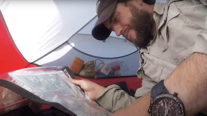
In the company of his dog Saku, Barbour embarked on a 230km journey along the length of Newfoundland's Great Northern Peninsula. The peninsula is 17,483 square kilometers of mountains, fiords, lakes, marshes, and rivers, sparsely populated by just under 15,000 people.
Bushcraft and extra kilos
A fan of bushcraft and traditional survival techniques, Barbour purposefully brought meager rations for his expedition, intending to supplement his calories with fish and foraged plants. And in a classic move, he intentionally headed into the bush with a little extra weight on his body, expecting to lose about nine kilos along the way.
"The question will be whether we can find a way through or not," Barbour narrates early in the video. And it's a valid question. Not one community exists along his route — as he puts it, the peninsula is "one of the wildest places left on Earth." Stands of a common subarctic shrub that Newfoundlanders call tuckamore are so dense that it is impossible to get through them.
"I have a rough line drawn out," he says. "The rest I'll figure along the way. It's okay to go to sleep with a few question marks rolling around in the belly. That's what makes it an adventure."
As you'd expect with that kind of mindset, Barbour and his dog spend a lot of time route-finding across difficult terrain, sticking to moose and caribou trails whenever possible, and just punching through dense stands of short conifers when not. There's a lot of backtracking. Detours abound. Any high rocky ridge that allows for easy footing is a cause for celebration. It's all an inevitable part of this type of backcountry travel.
Squishy marshes
When the vegetation vanishes, squishy marshes appear, where Barbour and Saku "gotta work for every step." The pair ford rivers, haul themselves up and over mountains, and walk face-first into powerful winds. With terrain that nasty, it's no surprise they only average about nine kilometers a day.
But of course, speed isn't the goal here. It's total immersion, an idea Barbour reinforces with his reliance on fishing and foraging along the way. There's also plenty of scenery to admire.
"You just come across these fine little areas. Little tuck aways. Places you'd like to call home, put a cabin here, live for a bit. It's just that gorgeous," Barbour says.
By the time Barbour and Saku wrap up their journey with a final 30km along an overgrown logging road, they haven't seen another human being in 25 days.
"Just a wicked time," Barbour says of the trip as the video closes, before noting that even though he walked 230km, he only traveled 72 as the crow flies. "It just goes to show how tangly and jungle-like the terrain was," he continues. "Tough to figure out, but walking away, what great experiences. Absolutely amazing. You gotta love it."
As for his final weight loss?

Just 5.5kg. Barbour knows what he's doing out there.
In the early hours of January 3, 1864, the anchor chain that tethered the 56-ton schooner Grafton to the sea bed off southern New Zealand snapped loose. Ninety minutes later, the gale that had been pounding the ship for almost two days drove the Grafton onto the rocks off Auckland Island.
At first, it appeared that the Grafton, a rugged ship outfitted for the Southern Hemisphere's treacherous waters, might survive. But with a disheartening crunch, the combination of water, waves, and rocks ripped her keel, and seawater poured in. The Grafton was finished.
But the five men aboard, including Captain Thomas Musgrave and voyage sponsor Francois Raynal, weren't finished. They gathered beneath a sail and waited for a stormy dawn to break. When it did, they loaded up the ship's dinghy with whatever supplies they could gather: a double-barreled rifle, ammunition, navigational instruments, cooking gear, ship's biscuits, flour, tea, coffee, pork, and tobacco.

But the shore lay across a swirling channel still beset by the gale. Thinking quickly, Norwegian Alexander Maclaren dove into the water, swam the waves, and rigged up a pulley system on a tree near the shore. The men got the canoe across in this way, then returned again to harvest planks, rope, and other building materials from the stricken Grafton. As the rain continued to hammer down, they built a rude hut and piled in to snatch what sleep they could.
The shelter would be their home for the next 18 months.
A failed venture, a strange crew
The Grafton Castaways, as history would come to call them, were a mixed bag.
Musgrave was an Englishman who, at 31, had been at sea for over half his life. When the Grafton foundered, he'd been living in Australia with his family for five years.
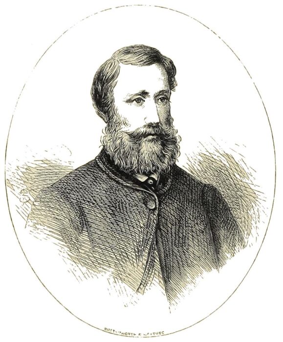
Raynal was a French adventurer who'd given up life on the ocean for 11 years in the Australian goldfields. There, he survived a mine collapse and a lingering infection — one that had left him bedridden for a month at the time of the wreck. The Grafton's voyage was his idea, an expedition to seek out tin on Campbell Island. Musgrave was the nephew of one of Raynal's business partners.
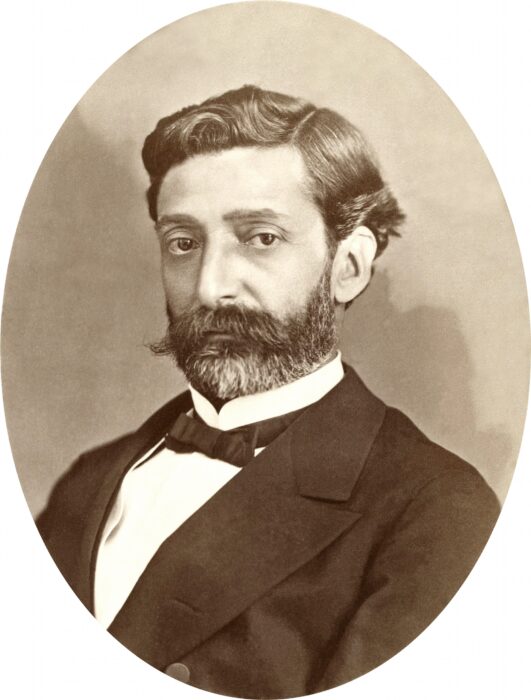
Maclaren was a lifelong sailor, experienced and reserved. The young man of the crew was George Harris, just 20. And rounding out the bunch was Henry Forges, ship's cook, sporting a leprosy-riddled face and a javelin injury from his time as the captive of Indigenous people on Samoa.
After failing to find the rumored tin on Campbell Island, Raynal attempted to turn a profit on the voyage by harvesting skins and oil. Auckland Island, devoid of human life but with a prodigious seal and sea lion population, seemed like a safe bet.
But before they could put ashore, the storm struck.
'The black, coarse, oleaginous flesh'
On the first morning of the ordeal, the men killed and ate a young sea lion. It was a disagreeable meal.
“The black, coarse, oleaginous flesh, which was as little agreeable to the smell as to the taste, did not appear to us a very satisfactory repast,” Raynal recorded. “But we felt we must accustom ourselves to it.”
He was right. Over the next 18 months, sea lions would be the staple food for the castaways. Understandably, they came to hate it. Yet they knew enough about sea lion behavior to understand that eventually, the animals would move on from the island. The castaways ate while they could.
The weather was uniformly dreary and cold, and boredom — and the ill-tempers that came with it — was more of a threat than starvation in the early days.
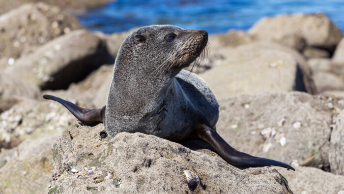
But Raynal and Musgrave had no intention of letting their crew succumb to melancholy. From the very beginning, they enacted several policies that have become a model for leadership and group management in survival situations.
For starters, the two leaders immediately shared supplies that had originally been slated for their use alone onboard the ship. They kept the men busy with continuous improvements to their hut, which was swiftly dubbed Epigwaitt. Soon enough, the dwelling had a cot for each man, homemade lamps, a fireplace, a chimney, a desk, and other amenities. They established a school and had regular lessons with Musgrave and Raynel, who were particularly insistent on teaching the illiterate Maclaren how to read.
The crew even managed to brew some beer using Stilbocarpa, a type of ground-hugging flowering plant, which lifted spirits considerably. Raynel also made a chessboard, dice, and cards.
'We stood so much in need of one another'
But perhaps most importantly, the castaways established clear tasks for each man and a system of governance, holding elections for leadership (which Musgrave, naturally, won). The little makeshift government came complete with rules scribbled in the margins of Musgrave's Bible, which he read aloud every Sunday.
“Assuredly, we had lived together since our shipwreck in peace and harmony — I may even say in true and honest brotherhood,” Raynal later wrote in an account of the wreck.
He admitted that occasional disagreements led to momentary anger and cross words, but they never let the bad feelings fester.
"If habits of bitterness and animosity were established amongst us, the consequences [would be] disastrous," he said. "We stood so much in need of one another!”
As May and winter in the Southern Hemisphere approached, animal life on the island became scarce. The Grafton castaways steeled themselves for lean days. They knew that rescue wasn't coming until spring, at the very earliest.
Another group of castaways
Meanwhile, elsewhere on the island, another bunch of castaways was also struggling to survive — and neither group was aware of the other.
On May 11, 1864, an autumn storm blew the Invercauld against the rocks on Auckland Island's northern tip, about 40km from the first group. Nineteen of the ship's 25-man crew made it ashore, including the leadership: Captain George Dalgarno, first mate Andrew Smith, and second mate James Mahoney.
But Dalgarno's leadership style in the face of disaster was markedly different from that of Musgrave and Raynel's. And the fate of his unhappy crew was tied to his missteps.
To start with, Dalgarno did not maintain a steady head during the wreck itself. He gave no order to abandon ship, and the men simply swam for shore as they saw fit. As a result, the crew that survived had far fewer supplies and tools than did those from the Grafton.
Dalgarno also proved ineffective in the first days of the wreck. He allowed his men to huddle in a poorly constructed and far-too-cramped shelter on the beach. He issued no orders to improve the shelter, instead commanding the lower-ranking men to serve the higher ranks as if they were all still aboard the ship. The crew burned precious calories fetching food and water for the Captain and mates.
Bored, starving, and chafing under a command structure ill-suited to the circumstances, the men talked of cannibalism before the month was out. And by the end of May, their numbers had been reduced to 10 by exposure and lack of nutrition. Eventually, one of the lower-ranking men, 23-year-old Robert Holding, convinced some of the others to go foraging with him. They found a row of berry bushes and followed it to the abandoned settlement of Hardwicke.
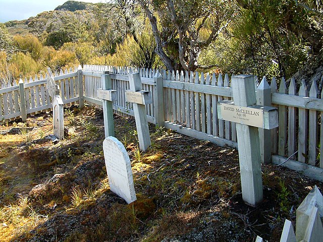
Only one of the ghost town's 18 buildings was habitable, but it was better than a lean-to on a beach. And the village turned up a few usable tools. But far from being their salvation, finding the village would have dire physiological consequences for the Invercauld crew.
Rather than being proactive and improving Hardwicke's structures for long-term use, the men — with the notable exception of Holding — believed the abandoned village was proof they'd soon be rescued. They continued to live on a meager diet of limpets, seals, and foraged plants while they waited out the long winter, mostly exposed to the elements. Always, they expected to see a ship on the horizon.
Physical conflict, starvation, and overwork in the service of the crew's leadership claimed more lives. Captain Dalgarno even abandoned his injured first mate Mahoney in a shack, leaving him to starve in isolation.
Eventually, the men were eating corpses.
A despondent Christmas
Meanwhile the crew of the Grafton had come to realize if they wanted to survive, they'd have to help themselves.
But it was a near thing. Spring arrived, and with it, more abundant hunting but no rescue ships. Despondency began to set in.
“My companions were lying on the ground, silent, their countenances dark with the dreariest melancholy,” Raynal wrote. “Evidently, they had been the victims of regrets as bitter and despair as great as mine."
Even Musgrave gave in to hopelessness.
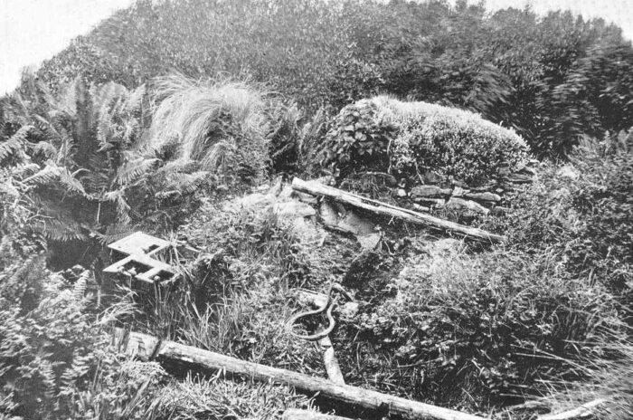
“Well,” he said, “what matters it, since we are destined to die here? Better to bring our misery to an end at once. What is the use of living? Of what profit is life in such circumstances as ours?”
On Christmas Day, surveying the listless crew, Raynal felt the hopelessness encroaching within him finally give way to something more potent.
"I felt a complete revolution working within me. To depression succeeded a kind of exaltation; my heart, reinspired by a transport of pride, indignation, and almost wrath, beat violently," he remembered. “If men abandon us, let us save ourselves,” he said to the men. “Courage, then, and to work!”
Boats and forges
The Grafton castaways proposed to build a boat.
But to do so, they'd need nails and tools, and for that, they needed a forge.
They made one from scratch by January 16 and started churning out 50 nails a day. But they soon realized building a totally new boat would take at least a year and a half at the pace they were working. They changed tacks and began to modify the Grafton's canoe for an open-water voyage—knowing its small size would mean leaving two men behind while three went for help.
The group's division of labor continued smoothly as well, with some of the men in charge of foraging and upkeep on the hut and others taking shifts on the boat construction.
Decking appeared, and planks caulked with gum of lime and seal oil. Parts scavaged from the Grafton provided a mast, a pump, and a compass. By June 1865, and entering into the castaway's second winter, it was ready.
“Our work being completed, it presented to the gaze — at all events, to that of its authors — a very imposing appearance,” wrote Raynal. “It was a decked boat, 17 feet long, six feet wide, and three feet deep.”
They named her Rescue.
Last men standing
On the north end of the island, only three men remained. The resourceful and tireless Holding, Captain Dalgarno, and first mate Andrew Smith. Holding had finally taken command of his useless officers, and under his leadership, the trio was clinging — tenuously — to life.
On May 22, 1865, they finally got the lucky break that 16 men had died waiting for. The Portuguese brig Julian sailed into view, seeking a resupply. Despite the presence of plague on board, the Invercauld's crew scrambled aboard. There, Dalgarno and Smith were taken to officers' quarters, while Holding was relegated to the lower decks. The officers ordered Holding not to reveal he'd been the key to their survival.
After Julian made port in South America, they left him behind to make his own way home. He survived on charity until he secured a post on a ship bound for the Netherlands.
Rescue
On July 12, 1865, the five Grafton castaways launched Rescue. Raynal, Musgrave, and Maclaren — the crew's three most experienced sailors — were aboard. It was an emotional moment for all five men.
“We were on the point of separating from two of our companions — from George and Henry — who for 19 months had shared, day after day, our struggles and our sufferings, with whom we had lived as brothers,” Raynal remembered.
If all went well, the men of the Rescue hoped to reach New Zealand in 60 hours. But a storm battered them for four days. Eventually, they spotted the settled island of Rakiura, but the wind blew them back out to sea, and they didn't have the strength to fight against it with oars.
"We saw ourselves on the point of drifting out to sea and perishing in sight of port,” Raynal wrote of the dark moment.
But on July 24, 1865, 12 days after leaving the Auckland Islands in their jerry-rigged craft, Raynal, Musgrave, and Maclaren made port on Rakiura. Raynal collapsed into another relapse of his illness, but Musgrave found the strength to convince the cutter Flying Scud to mount a rescue.
It doesn't take much imagination to realize what Dalgarno would have done at this point. He'd have stayed on Rakiura.
But Musgrave, as he demonstrated time and time again during the ordeal, was made of better stuff. He accompanied Flying Scud back to Auckland Island, knowing that the treacherous winter seas had every chance of stranding him there again. There, he found his two remaining crew alive and well, despite a brief falling out that had sent them to opposite ends of the island in a fit of pique.
But in final evidence of the spirit that allowed the Grafton castaways to survive an experience that claimed so many other lives, the two made up as soon as they were rescued.
Norwegian speedster Hege Victoria is "a few kilometers ahead" of the current women's Hercules Inlet to South Pole record, with a likely finish over the weekend. Ashkay Nanavati's full crossing attempt ended with a medical evac. Meanwhile, non-record-attempt skiers are approaching the finish line.
Crossings
American Ashkay Nanavati's solo, unsupported, full crossing has finished less than one-third of the way into his journey. Nanavati was evacuated after 60 days and 803km of his proposed 115-day, 2,736km expedition across the full Antarctic landmass via the South Pole.
Nanavati is now back at Union Glacier, being treated for diverticulitis, an inflammation of the pouches along the wall of the large intestine. This condition was likely the cause of the back and gut pain Nanavati reported throughout the week.
Nanavati came within a whisker of being medically evacuated days earlier, only getting the go-ahead from the Antarctic Logistics & Expeditions doctor after the symptoms he was experiencing abated slightly.
During that time, Nanavati had fallen into a pattern: A full day of skiing, a half day of skiing, and then a full recovery day. Although he recognized that his crossing was "an impossibility," he hoped to put in as much time as possible on the ice. You can see his palpable disappointment in the video below, recorded while he waited for evacuation.
View this post on Instagram
Kim nears her finish
After resupplying at the South Pole last week, South Korean Youngmi Kim is on the home stretch of her solo, supported inland crossing. After 1,483km of her route's 1,700km, she's inching closer and closer to her destination at the base of the Leverett Glacier.
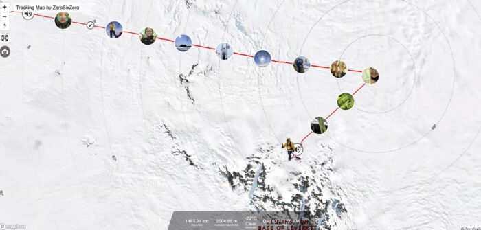
Hercules Inlet to the South Pole
As Norwegian Hege Victoria gets closer to the Pole in her speed record attempt along the 1,130km Hercules Inlet route, her team's updates have become more frequent. Victoria is attempting to beat Preet Chandi's 31-day, 13-hour, 19-minute effort from last year. At last word four days ago, her team said she was "a few kilometers ahead" of Chandi.
In the last week, she's powered through whiteout, elevation gain, and sastrugi, but is coming to a portion of the route where the last two factors should abate. Look for a finish sometime this weekend — probably Saturday, December 11.
View this post on Instagram
Indian skier Satish Gogineni recently crossed the 89th parallel and is roughly 109km from the Pole. He'll likely reach it over the weekend as well, if he stays on his current pace of approximately 30km a day.
View this post on Instagram
Danish skier Rasmus Kragh's 30km, 6-hours of sleep, 30km cycle continues. He recently crossed the 88th parallel with 237km to go. The ordinarily verbose Kragh has been a bit sparser in his recent updates as he focuses on daily kilometers, rest, and reaching the Pole.
UK skier Catherine Buford will end today just shy of the 89th parallel, having skied 1,005km as of this writing. Like most other skiers, she continues to improve her overall daily average. Over the last three weeks, she's increased from 18km to just under 20km a day.
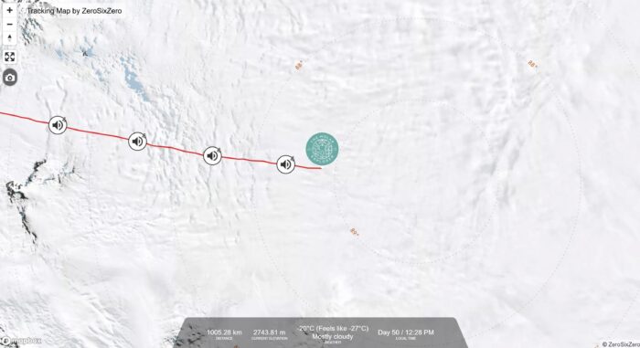
Speaking of the 89th parallel, Norwegian Karen Kylleso crossed it late yesterday and has just under 100km to go. At her current pace, that puts her about five days away from the South Pole.
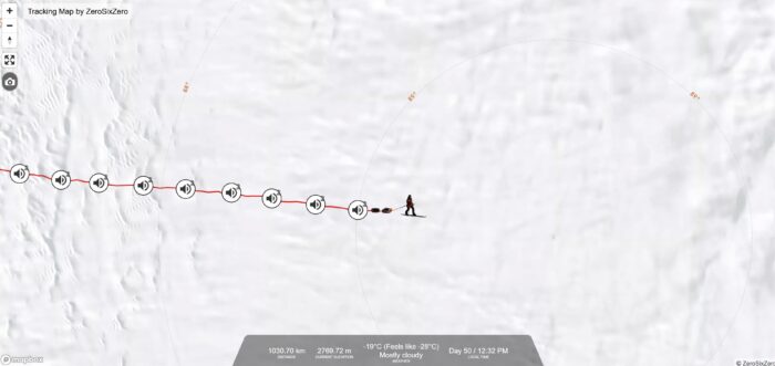
Messner Start to South Pole
Turkish skier Ali Riza Bilal will likely reach the Pole today or tomorrow. After recovering from a minor navigational error last week, Bilal has made good time and is somewhere between 20 and 30km from his destination.
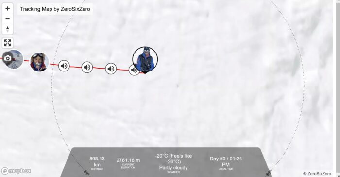
John Huntington reached the Pole after 45 days of consistent skiing. Huntington suffered a debilitating stroke 10 years ago, leaving him with left-side paralysis from the neck down and many years of rehab to regain his mobility. This made dealing with sastrugi a particular challenge. But he averaged 20km a day when all was said and done.
His last update before reaching the finish was dry and typical.
"I'm quite looking forward to some fresh food," he said, "and being able to use a real toilet again would be a real treat."
View this post on Instagram
Berkner Island to South Pole
Frederick Fennessy of the UK is also nearing the end of his 1,400km expedition to the Pole from Berkner Island. He's currently skied 1,349km in 56.5 days. His last update was on January 2, where he noted slow progress through sastrugi. If he stays on pace, he'll finish over the weekend.
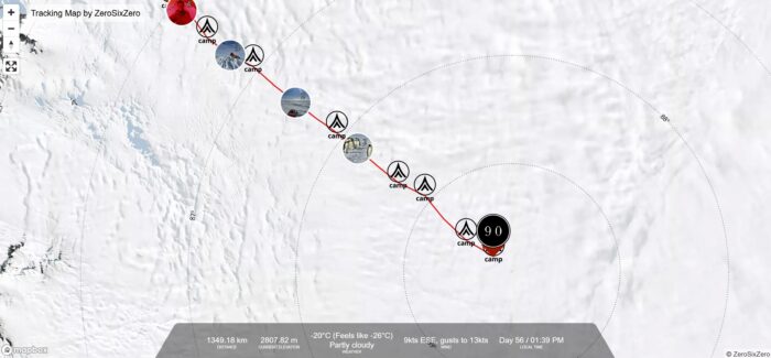
Constellation Inlet to Mt. Vinson Summit
On January 5, James McAlloon and guide Robert Smith reached a milestone in their Constellation Inlet to Mt. Vinson summit expedition. The pair summited Vinson, the tallest mountain in Antarctica at 4,892m.
"We ended up taking a more direct, much steeper route [than we had originally planned]," McAlloon wrote on January 6.
The pair considered climbing a few other peaks along the way, but McAlloon was "having a few breathing problems yesterday," so they opted out. McAlloon added that his breathing has since returned to normal.
A hiker missing for 13 days in the Snowy Mountains, New South Wales, Australia, has been rescued.
Hikers found 23-year-old Hadi Nazari yesterday afternoon, just off the trail near Blue Lake, after hearing his call for help, local authorities said. He was about 10km from a search-and-rescue command post.
"He was fine, alert, able to speak," New South Wales Police Superintendent Andrew Spliet said in a press conference. "But obviously he's getting checked out by the medical professionals and we'll see what comes of that."
Nazari reunited briefly with family and friends before an ambulance transported him to Cooma Hospital.
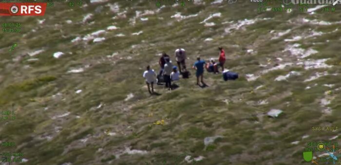
A hut and two muesli bars
Nazari disappeared on December 26 in Kosciuszko National Park after splitting from two friends to take photos. They last saw him descending the Hannels Spur trail, one of the more challenging hiking trails in Australia.
“If you’re off the track, it’s bloody tough country,” Doug Chatten, a local hiking guide, told the Australian Associated Press earlier this week. “It’s no easy walk, that’s for sure...you’d be a hard person to find.”
According to reports, Nazari is an experienced hiker, and his friends immediately began to worry when he did not return to camp. They alerted park authorities that he was missing on the afternoon of the 26. They have been searching ever since, with the help of over 300 volunteer and professional searchers.
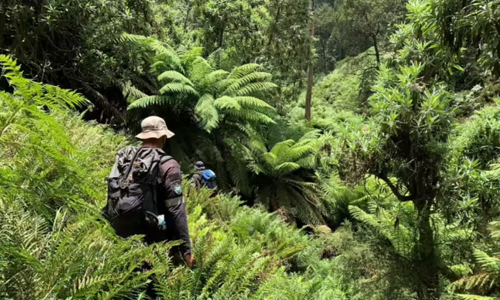
Searchers found trash and hiking poles they believed belonged to Nazari on December 31. On January 5, they found a camera bag, camera, lighter, and a campfire near the Geehi River.
As the days rolled on, searchers began to despair of finding the University of Melbourne student alive. Dehydration and UV radiation from the Australian summer were of particular concern.
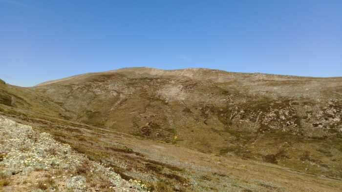
"This is an incredible outcome," Riverina Police District Inspector Josh Broadfoot said after thanking the volunteer search and rescue workers.
Details of Nazari's ordeal are scarce, but he made a brief statement to officials shortly after his rescue. In it, he claimed he'd stumbled across a hut where he'd taken shelter. In the hut were two muesli bars — the only thing he'd eaten during the 13 days he was lost.
Three-quarters of the way through her attempt on the Wasatch Ultimate Ridge Linkup (WURL), having just summited the final peak on the route, amateur athlete Mali Noyes leans over and vomits. The gusting wind blows her stomach acid nearly straight sideways.
Afterward, she feels better and continues jogging slowly downhill. The most difficult portion of the journey, a 45-degree gully choked with scree and talus, lies ahead.
It's all just another moment on the WURL, a deceptively difficult 58km ridge linkup route that circles Little Cottonwood Canyon just outside of Salt Lake City. The WURL fiendishly combines a middle-distance trail ultramarathon with a perpetual string of Class IV scrambles over 6,000m of elevation gain.
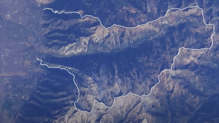
Not quite a trail run
The brainchild of Salt Lake City runner Jared Campbell, the route exists in a liminal space between climbing and trail running that challenges devotees of either discipline.
Campbell was hiking in Little Cottonwood one day in the early 2000s when the thought occurred to him that a linkup of the surrounding ridgelines could be possible. And so the WURL was born.
Rite of Passage is a film that follows Noyes as she attempts to complete the route. But the documentary also serves as an oral history of the route and includes a murderer's row of accomplished athletes (some quite famous) reflecting on the challenging run.
The WURL sometimes attracts people who aren't quite up to the challenge. Partly, that's because the route is so close to Salt Lake City — a hub of fit, enthusiastic outdoor athletes. And partly, it's because a 58km ultra with 6,000m of vert doesn't seem intimidating to athletes who can go out and run 160km.
"People look at the numbers, at the elevation gain, and maybe underestimate what's involved," Campbell says.
But Campbell, along with every other athlete interviewed in the film, urges caution. The exposure is constant, the stakes mortal. There's an ever-present danger of slipping off one of the route's countless knife-edge ridgelines, especially as the distance increases and fatigue sets in.
'It can be so intimidating'
But Noyes is a local trail runner with climbing chops, and she has what it takes. As the film progresses and she gets deeper and deeper into the run, she struggles, slips, and slides but never seems out of control. And like many ultra-distance efforts, the real battle is in the mind.
"Wherever you are [on the route], you can look at where you came from and where you have left to go, and it can be so intimidating," she notes at one point.
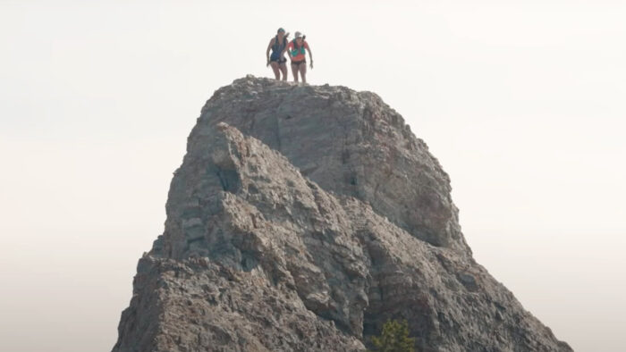
Rite of Passage is a short and punchy watch, clocking in at just under 20 minutes. Seeing the enthusiasm the runners have for the route, you might just be tempted to try it. But know thyself. The WURL isn't something to be tackled lightly.
However, if you have the skills and the fitness, it looks absolutely amazing.
"I've had a lot of people say, 'That was something I'll never forget; that was one of my best experiences in life.' " Campbell reflects. "Those [comments] mean a lot to me."
Arne-Kristian Teigland, who was on pace to grab the men's Hercules Inlet to South Pole speed record, fainted yesterday and was evacuated. Norwegian Kristin Harila has also ended her solo, unsupported speed effort after weeks of struggling with a back injury. Youngmi Kim has reached the South Pole, resupplied, and made the turn for the final part of her inland crossing. And skiers along the Hercules Inlet and Messner Start routes are nearing the Pole.
Crossings
"I feel like I finally got back into a polar rhythm after a very tough week," American Ashkay Nanavati recorded recently. "Last week was brutal. I mean, absolutely brutal. There were a few unplanned half-days, there was an unplanned recovery day, it was very challenging both mentally and physically."
The source of Nanavati's exhaustion — aside from manhauling enough gear to complete his 2,736km solo, unsupported, full crossing in 110 to 115 days — is a recent storm that dumped several inches of soft snow into his path. But Nanavati noted that conditions are improving once again. With the hardships of the last week, Nanavati's daily pace has continued to hover at 14.5km/day. He's currently 53.5 days and 773km into his full crossing.
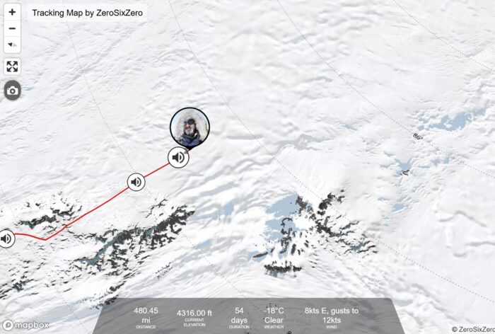
South Korean Youngmi Kim's solo, supported inland crossing passed a huge milestone this week. The skier reached the South Pole, resupplied, and turned sharply toward her endpoint at the Ross Ice Shelf.
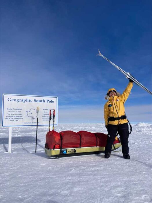
While her photos from the Pole show an ecstatic Kim holding her skis aloft and waving the South Korean flag, her text update was more measured.
"Receipt of supplies from the South Pole to Leverett Glacier, and a new route to 89 degrees latitude begins today!" she wrote.
The South Korean has skied 1,294km in 56.5 days, with just over 400km left to go.
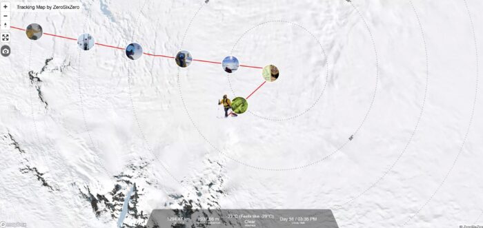
Hercules Inlet to the South Pole
Yesterday, Arne-Kristian (AK) Teigland's social media account announced that the Norwegian's speed record attempt along the Hercules Inlet to South Pole route had ended.
"The expedition to the South Pole ended with a little drama, January 2. AK got sick during the march and fainted on the ice. He found the tent and alerted ALE that was [sic] about to fly him out. He's going to a medical at Union Glacier and is doing well," the post read.
Manager Lars Ebbesen has also confirmed to ExplorersWeb that Teigland is "doing fine."
Tiegland skied 932km of the 1,130km route, staying slightly ahead of Frenchman Vincent Colliard's camps from last season. Colliard managed the run in 22 days, 6 hours, and 8 minutes — a record that will now stand at least until next year. With just 200km -- just a few days -- before finishing, Tiegland will be deeply disappointed.
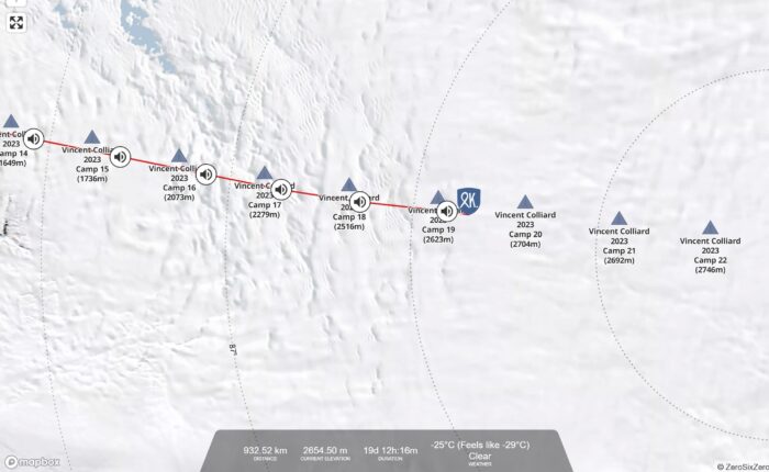
After suffering a back injury early in her expedition, then skiing through the pain until she ran out of painkillers, Norwegian Kristin Harila has decided to end her solo, unsupported pole push.
“Choosing to end the expedition after 20 days was a very difficult decision. Part of me wants to continue this adventure. The other part of me is trying to listen to the advice of doctors and think long-term,” she said.
While she never formally announced her intentions to beat Preet Chandi's 31-day, 13-hour, 19-minute record from last year, it appeared that was indeed her intention. Harila's daily kilometer averages were just under where they needed to be, and she consistently logged 45km+ days in the week before she quit.
Hege Victoria's updates from her attempt on the same record remain sparse. There's no publicly available tracking map, and her last update to her website was from day nine of her expedition, nearly two weeks ago. However, a Norwegian-language Instagram account that has been following Norwegian Antarctic expeditions this year showed a graphic that placed Victoria at 579km on day 16. That's 36km a day, so almost exactly on pace with Chandi. But that was six days ago.
View this post on Instagram
Satish Gogineni needs to make the Pole in 10 days, so he's continuing to pick up his pace despite a few cloudy, low-visibility days. On day 41, he managed to log 30km.
"The next three or four days are going to be challenging," he noted. "Lots of elevation gain, lots of sastrugi."
View this post on Instagram
Danish skier Rasmus Kragh has turned up the gas, logging 30km+ days for the last five days. According to his most recent Facebook post, the skier made the decision to do so after counting out his supplies on day 29 and realizing he'd either need to ration carefully or increase his daily distance.
"Went into a cycle — 30km, then a minimum of 6 hours of sleep, regardless of the time of the day. The sun is just running around in circles over my head. I released myself from the mental barrier, and it feels amazing," he wrote.
"A new year and a new degree for me," UK skier Catherine Buford said the evening after she crossed the 87th parallel. Buford's been battling sastrugi as she closes in on the pole. But she has still managed to edge her overall daily average up to 19.5km, up from last week's 18km.
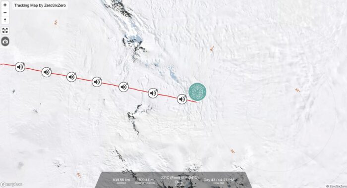
Norwegian Karen Kylleso has also slightly picked up steam, increasing her average to 20.2km over last week's 19.5km. She's 872km in as day 43 draws to a close, and she's creeping up on the 88th parallel.
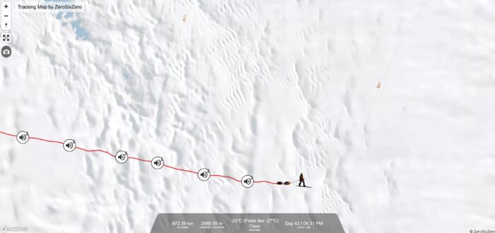
Messner Start to South Pole
Turkish skier Ali Riza Bilal has traveled 759km of the Messner Start's 911km and is nearing the end of his equipment-failure-prone expedition.
Bilal's latest setback, however, wasn't gear-related. The skier took a major turn off course, visible on the tracking map below (just to the right of the audio volume symbol). Luckily, an employee of ZeroSixZero, the tracking map application commonly used by Antarctic expeditions, noticed the turn and notified Bilal's wife, who told the skier.
Bilal is now back on track and still managing to put in 20km days.
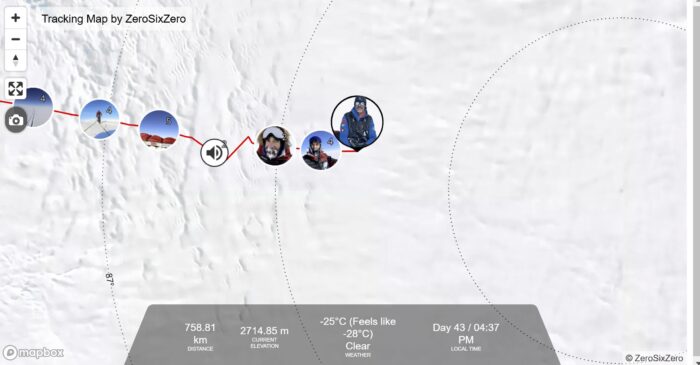
Englishman John Huntington has crossed the 89th parallel and is now on a straight shot for the geographical bottom of the world. At 816km as of day 43, Huntington has less than 100km to go.
The skier experienced plunging temperatures and high winds on day 41. He had to wear his full cold-weather getup for the first time.

Berkner Island to South Pole
At 1,147km, English skier Frederick Fennessy is only 250km away from completing his 1,400km Berkner Island to South Pole expedition. It's taken him 49 days so far, at a respectable average of 23.4km per day.
Fennessey experienced a "humbling and arduous" day this week, with whiteout conditions combining with sastrugi to make "skiing incredibly slow." Fennessy said he fell over more times than he can count and spent the bulk of his day righting his tipped sled. He also noted the increasingly cold temperatures as he nears the Pole.
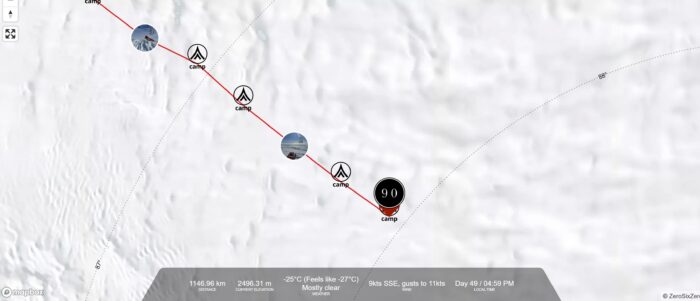
Constellation Inlet to Mt. Vinson Summit
James McAlloon and guide Robert Smith's Constellation Inlet to Mt. Vinson summit expedition is 14 days and 210km deep — meaning the team is on the mountain and about to swap their sleds for backpacks. In a January 1 audio update, Smith said the pair were planning an acclimatization rest day on January 2. From there, the mountaineering begins.
Kristin Harila has bowed out of her solo, unsupported, 1,130km Hercules Inlet to South Pole ski expedition, citing back pain from an injury incurred early in her attempt.
"Choosing to end the expedition after 20 days was a very difficult decision. Part of me wants to continue this adventure. The other part of me is trying to listen to the advice of doctors and think long-term," the skier and mountaineer posted on her website.
Harila posted text updates infrequently during her expedition, but she mentioned back pain several times in the early going. Soon, she was taking painkillers daily. Her last update didn't mention her injury, and she'd been skiing increasingly hefty daily distances, leading to hope that her injury had cleared.
In the week before she pulled the plug, she was averaging 48km per day. According to her website, Harila recently ran out of painkillers, a contributing factor to her decision to end the journey.
A speed record attempt?
Harila's background is in cross-country skiing, though she is best known for climbing the world's 14 highest peaks in a whirlwind 92 days in 2023, guided by Tenjen Sherpa. Tenjen died in an avalanche a few weeks after completing the effort with Harila.
Harila never stated she was trying to break Preet Chandi’s 2023 Hercules Inlet to South Pole women's speed record of 31 days, 13 hours, 19 minutes. But it seemed obvious to seasoned polar expedition observers that she had her eyes on the prize. Harila skied about 700km over her 20 days on the ice, averaging 35km daily. That's just under Chandi's daily average of 36km.
View this post on Instagram
Had Harila maintained +45km days in the final run to the Pole — as was her plan — she'd likely have snagged the record.
"The silver lining is that I can cheer for all the other Norwegians, especially the incredibly strong women trekking solo to the South Pole this season," Harila wrote. "I'm crossing my fingers for Hege Victoria and for Karen [Kylleso], who is only 22 years old and doing an amazing job."
Victoria has publicly announced her intention to break Chandi's record and is currently skiing towards the Pole on the Hercules Inlet route. However, she keeps her daily distances and overall progress tightly under wraps.
Kylleso is on a solo, unsupported expedition along the same route. She is skiing strongly but is not attempting a speed record.
"I'm also very impressed by Arene-Kristian," Harila continued, referring to the Norwegian skier currently on track to beat Frenchman Vincent Colliard’s men's speed record from last season. To do so, Teigland will need to reach the pole in under 22 days, 6 hours, and 8 minutes.
A few speed record attempts have passed the halfway point and are on track to succeed. Other skiers on the Hercules Inlet, Messner Start, and Berkner Island routes are increasing their daily distance — but the holiday week has them daydreaming of better food. The Constellation Inlet to Mt. Vinson Summit expedition has begun.
Crossings
American Ashkay Nanavati hasn't posted an audio message since ExplorersWeb's last update a week ago. The skier is attempting a 2,736km full crossing of the Antarctic continent and is now 47 days and 699km deep into the solo, unsupported effort. In our last update, we mentioned that Nanavati had increased his daily average to 14.5km, a trend he needed to continue for his expedition to succeed.
Nanavati has done just that in the last week, edging his average daily distance up to 14.9km. Nanavati will cross the 84th parallel this week.
South Korean Youngmi Kim is nearing the South Pole and resupply on her supported inland crossing. Fresh supplies will make the sled heavy again at first, but skiing downhill away from the Pole is easier than skiing uphill toward it.
Kim's updates have been workmanlike in the last week — chronicles of hauling, sleeping, and eating. Relative inexperience led to equipment issues early in her journey, but she seems to have settled in at this point. She's covered 1,098km in 49 days so far.
Hercules Inlet to the South Pole
At the end of day 12, Norwegian Arne-Kristian (AK) Teigland remains slightly ahead of Frenchman Vincent Colliard's speed record from last season. Teigland is attempting to ski the 1,130km Hercules Inlet to South Pole route in under 22 days, 6 hours, and 8 minutes. He has to average a formidable 54km per day.
Last week, Tiegland's tracker didn't show the total distance traveled, but now it does. He's averaging 47.6km per day. Colliard picked up the pace as he approached the South Pole, and Tiegland will need to do the same.
Teigland reported headwinds in a recent update but also noted a recent flattening of the terrain as "delicious."
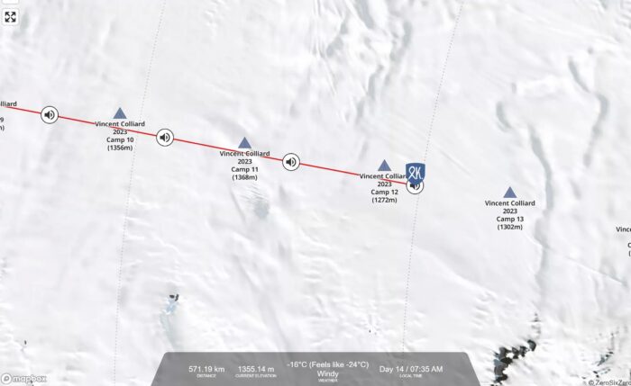
Norwegian Kristin Harila is also obviously going for a record, in her case, Preet Chandi's 31-day, 13-hour, 19-minute effort from last year. Harila needs to average 36km/day to do it. Her total distance traveled has also reappeared on her tracking map, meaning we now have a better idea of how she's doing. She's exactly on pace — averaging just over 36km/day. Seventeen days and 618km in, she's over the halfway point.
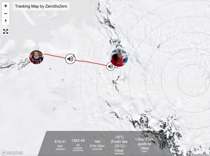
Back pain slowed Harila down in the first week and a half. On December 25, she made her first update in five days and didn't mention any pain but noted she'd skied over 45km per day during that period. Maybe the injury has finally cleared up?
Hege Victoria, also from Norway and also going for the women's speed record, is keeping her distances more tightly under wraps, which is not unusual for a record attempt. Her last update was five days ago, at the end of day nine.
"Have been two pretty demanding days with whiteout, I don't see the difference between ground and sky, I walk completely blind, and with lots of sastrugi," she reported. "A few miles behind Preet, but there's a long way to go. This is only camp 9, so hoping for blue skies and sunshine so I can see where I'm going."
View this post on Instagram
Satish Gogineni continues to pick up his pace, taking advantage of clear weather and a windless day to put in 29km on day 33, his best effort so far. Also settling in and finding his glide, Gogineni said he "didn't even push it" to log the kilometers.
View this post on Instagram
Danish skier Rasmus Kragh has continued to increase his speed and is now averaging just under 18km per day. At the end of day 35, he'd covered 627km. In his recent posts, the skier has obsessed over food and noted his increasing difficulty with self-discipline around his supplies.
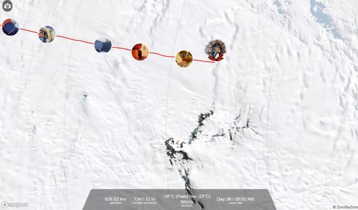
Catherine Buford of the UK is halfway between the 85th and 86th parallels at the end of day 35. She's skied 635km so far, averaging 18km per day, also an increase. Like almost every other skier this week, Buford mentioned daydreaming about Christmas food as the holiday rolled around.
"I'm having to distract myself about that," she said, sounding (understandably) a tad morose in her audio update.
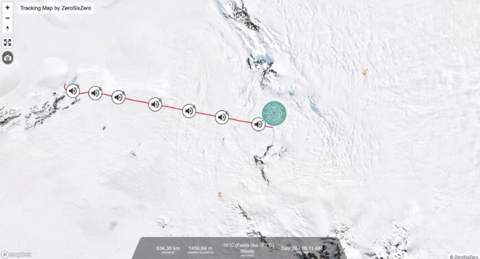
With youth and plenty of skiing experience on her side, Norwegian Karen Kylleso has increased her daily average from 18km to 19.5km over the last week. She'll cross the 86th parallel today and has skied 681km so far. Her text updates almost always just say, "Had a nice day on the trip," then end with a smiley face.
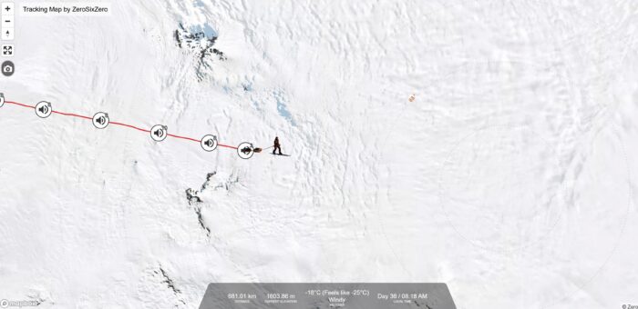
Messner Start to South Pole
Ali Riza Bilal of Turkey had equipment difficulties during the first half of his expedition, but that was finally solved a week and a half ago when Antarctic Logistics & Expeditions left him a replacement ski binding at a fuel depot. But the binding issues slowed him down, and his daily average for the 911km Messner Start to South Pole journey is hovering at 17.5km as of day 35. He also has some nagging ankle pain left over from the malfunction.
Still, since fixing his equipment, he's picked up his pace, consistently hitting 20km+ in the last week.
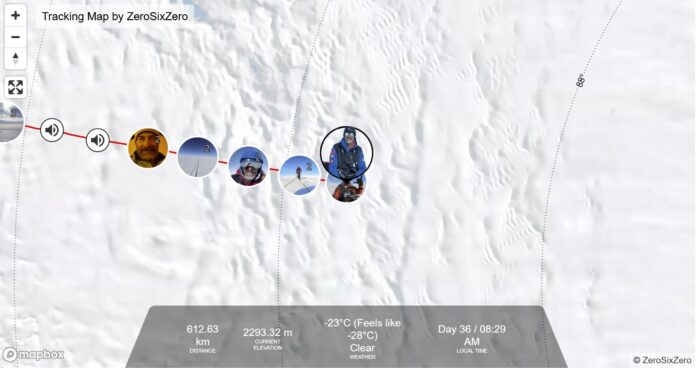
Englishman John Huntington has increased his daily average to 18.5km and is now 650km into the route.
"For the first day of Christmas...loads of hills and sastrugi," the skier noted wryly on December 25. Those are two things Ali Riza Bilal also commented on in his updates. The two skiers are in roughly similar locations, so that tracks.

Berkner Island to South Pole
English skier Frederick Fennessy is 959km into his 1,400km Berkner Island to South Pole journey, well over the halfway mark. A consistent skier, Fennessy never logs a day below 20km and has inched his average up to 23km per day.
Fennessy is a week into a "relentless" sastrugi field. "Every time I see it thinning out, it just comes back with a vengeance," he noted.
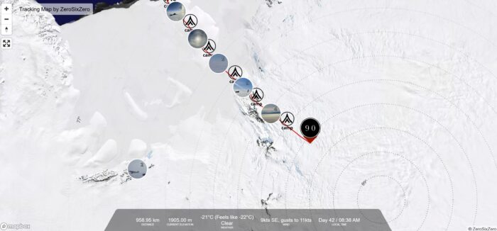
Constellation Inlet to Mt. Vinson Summit
James McAlloon and Robert Smith's Constellation Inlet to Mt. Vinson summit expedition has begun. The journey is a hybrid effort, combining a 400km ski to the base of Vinson with a climb to the top of the mountain. McAloon and Smith expect the ski portion to take 20 days, with the 4,892m ascent of vision comprising five to 10 days.
The skiers reported mild weather and no wind in the early days of the expedition but haven't updated in five days. As of day six, they'd covered 143km, so an average of 24km per day.
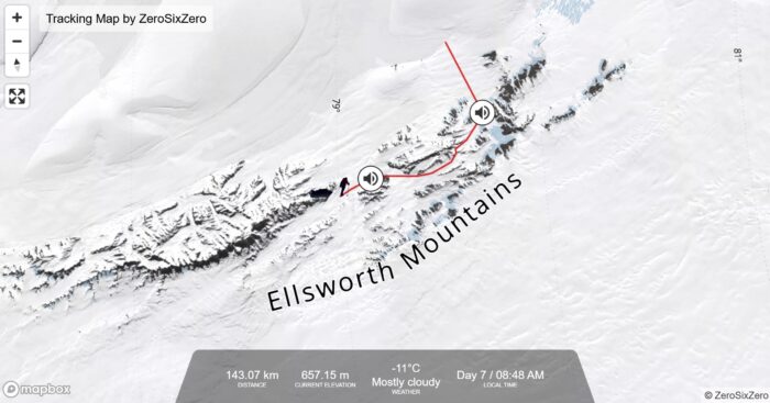
In the world of mountain running, there's Kilian Jornet, and then there's everybody else.
That may seem like a bold statement if you're one of those people for whom the Spaniard's name only surfaces when he does something that breaks through niche media outlets and lands in the international news cycle. His 2017 double summit of Everest is a good example. But the fact is, Jornet is a consistent and successful pusher of human boundaries, even when he's not tackling the world's highest mountain.
Case in point, Jornet's August 2024 "Alpine Connections" effort. The runner determined to link up all the 4,000m+ peaks in the Alps in one continuous push, using only human-powered modes of transportation. That's 82 peaks, 1,207km of distance traveled, and 72,233m of elevation gain over 16 stages. He climbed, ran, cycled, and sometimes trudged. Roughly 87% of his effort was on foot.
Not about a record
"To keep moving, no matter the conditions, weather, or gear I had with me, I had to push myself to the absolute limit of my knowledge and beyond to make it through. The effort was physical, technical, but above all mental, in managing stress and emotions," the athlete wrote shortly after completing the route.
"The most difficult part of such a journey was to stay fully concentrated for so many hours a day and to lower the stress in complicated situations, to stay lucid and make good decisions."
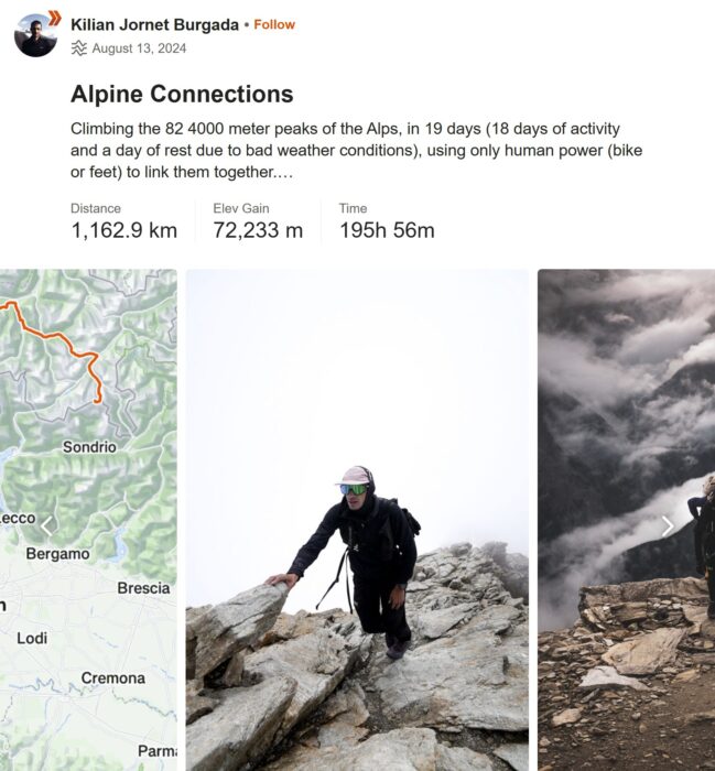
19 days
That's the sort of thing any athlete might say after completing a successful Fastest Known Time (FKT) attempt. And yes, Alpine Connections was indeed a record-breaker, besting two other famous documented attempts.
The late Swiss alpinist Ueli Steck did it in 62 days in 2015, while Italians Franz Nicolini and Diego Giovannini made a successful run in 60 days in 2008.
Jornet snagged the record in 19 days.
But Jornet, perhaps with a Spaniard's sense of the romantic or perhaps with wisdom gained over an astoundingly successful career, was not focused on the record-breaking nature of the run — at least not in hindsight.
"I believe what I did was not important as such, but it was something that transformed me deeply," he noted. "To speak of records would cheapen the experience I had. I was deeply inspired by Patrick Berhault’s vision, by Martin Moran and Simon Jenkins’ first link-up of 4,000'ers, by Franz and Diego’s, and Ueli’s feats.
"But although we followed similar principles, we weren’t trying to break records. Instead, we wanted to explore the Alps, linking those summits under our own power, not focusing on external performance," Jornet continued.
Nonstop link-up
The idea for Alpine Connections came to Jornet after his 2023 Pyrenees project — a route that saw him link up 177 3,000m peaks in eight days. Jornet, who lived in the Alps for a decade, saw the potential for a similar, more ambitious project in his former home range. He studied the linkup projects of the adventurers who preceded him in Alps, reached out to friends and friends of friends, and poured over maps.
Jornet's goal was to accomplish the feat in a way that felt "more like a long 'non-stop' link-up than a multi-ascent collection link-up." The aesthetics of such a tactic are what appealed most.
His timing was strategic but not without risk. Late-season conditions made for easily visible crevasses and dry ridgelines. But those same conditions made crossing bergschrunds (the crevasse that forms when moving glacier ice separates from fixed ice) more hazardous. Rock faces were also more unstable than earlier in the year.
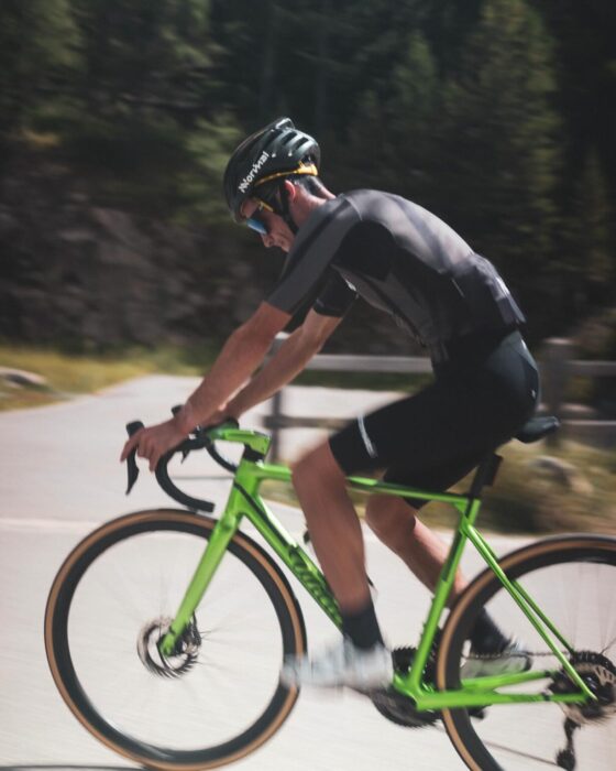
Off to the races
Setting out on August 12, shortly after competing in the Sierra Zinal mountain race, Jornet began by riding his bike up to Grimsel Pass in the Bernese Alps. His first goal was the summit of Piz Bernina (4,049m). From there, it was off to the races. A host of friends joined him for different segments along the way. His longest push was 34 hours, his shortest just under four.
Whenever possible, he stayed high and slept in mountain huts or bivouacs to preserve the aesthetic integrity of the route.
This strategy only fell apart once, in stage four at Valais, when he ran down to the ski resort Saas-Fee to escape troubling weather brewing over the high peaks.
A film crew documented the effort, and according to Jornet, there "will be probably a nice film" about the project. In his blog, Jornet referenced "decisions I’m not proud of, which I need to review. [Decisions] that made me reflect on why sometimes I pushed too far, accepting some risks that I consciously find unreasonable."
Perhaps we'll get a better look at some of those decisions in the film.
Frantic pace, dicey conditions
But on the whole, and despite the frantic pace and dicey conditions he sometimes encountered, Jornet came out of Alpine Connections in good health. Unlike his Pyrenees link-up project, he didn't lose any weight, and he was able to eat and rest enough to maintain his strength. Jornet is known for his flowy mountain-running style, and he reported feeling that flow on many of the ridges he tackled.

"Effort didn’t exist anymore, time stopped, my body was at one with the environment. Those are the moments I live for," he wrote.
For Jornet, the name of his project is about more than linking up mountain peaks. It's about the more subtle connections he made — to himself, to the people who helped him along the way, and to the landscapes he traversed.
And while not an "expedition" in the classical sense of the word, the Alpine Connections project is likely the most impressive physical feat of the year.
Forget model rockets. If you really want to one-up your fellow NASA maniacs — and impress your sweetheart to boot — you've got to turn a piece of space-faring history into a wedding ring.
That's exactly what the guys from Honest Hands Ring Co. did with a relic from the Apollo 11 mission. The Denver, Colorado-based custom ring-makers were approached by a client who'd recently won a scrap of Apollo 11 Kapton foil at auction. The foil is the same stuff used in those little "emergency" blankets that sit at the bottom of your pack for years and years. In the Apollo missions, NASA engineers used the material as an insulator on the Lunar Module.
As they tell it in a short video posted to YouTube, the Honest Hands folks have made thousands of custom rings, but never one that used material from such an extreme juncture of fragility and rarity. It was nerve-wracking, to say the least.
Get a load of how they did it below.
This weekend's film examines the sublime and simple beauty of Tibetan culture.

At 5,070m, Thoe Village is one of the highest permanent settlements in the world. The ethnic Tibetan population comprises 37 households and 150 people. Many of them make their living tending sheep.
Three seasons out of the year, the villagers herd their sheep back and forth across the windblown foothills. The drought-stricken mountainsides around Thoe provide sparse fodder for the animals. But in a land where no trees grow, and no crops sprout, it's the only way to make a living.
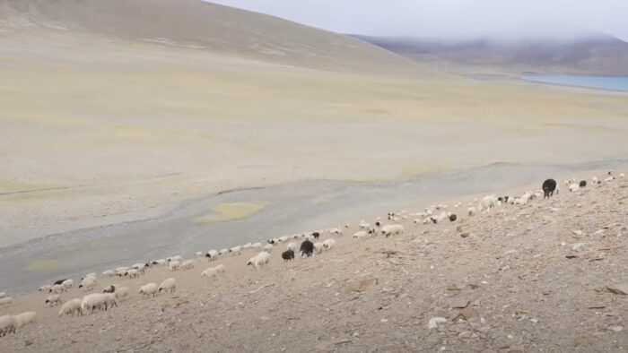
To manage their herds, shepherds like Dainzin use traditional Nepalese herding techniques — flinging stones from slings and whistling commands. At 54, Dainzin is the oldest shepherd in a village where the average life expectancy is 45.
Much of the first half of Icy Journey follows Dainzin over the course of several months. Viewers watch him part from his wife Sonam for weeks, living on nothing but steamed bread, sleeping at night in a stone hut, and walking among his sheep. For Danzig, this daily existence gives him satisfaction — he'd like to continue it for as long as his body holds out — but it is also a necessity, the only way to feed his family.
And then winter arrives.
With it, plunging temperatures and fierce winds that eradicate any chance of feeding the herd.
Blue Jewel
But in one way, Thoe Village is lucky — or blessed, if you take the villager's perspective. It's nestled on a large lake called Puma Yumco, or Blue Jewel. Five kilometers into the lake, a tiny island nestles. The villagers call it the Island of God, as a Buddhist monastery was once located there.
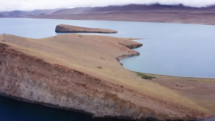
And thanks to an accident of geography and local weather, the sheltered little spot grows enough grass to feed the village's 2,000 head of sheep throughout the winter.
But how to get the sheep to the island? Dainzin and his fellow shepherds have to band together, combine their herds, and drive the sheep across slippery, wind-blown ice once the lake freezes over.
It's this yearly adventure that takes up Icy Journey's second half. Impatient viewers might be tempted to skip ahead to this section of the film, but that would be a loss. Because without the scene properly set — without a knowledge of what's at stake if the shepherds fail to accomplish this task — the gripping scenes that follow lose their impact.
A dangerous journey
The journey is fraught with danger. The shepherds scout the route ahead of time, looking for the thickest patches of ice. Sheep have fallen through it before, endangering the entire herd. But safety isn't guaranteed, even with preparation. Sheep skitter and slide on hooves not designed for traction on ice and threaten to scatter. To help, the shepherds scatter bag after bag of ash to provide a hoof-hold.
The wind blows incessantly. Sometimes, the animals just stop, unwilling to budge. It takes a lifetime's worth of knowledge and a lot of teamwork to get them moving again. When some animals inevitably get injured, the shepherds pick them up and carry them on their backs toward the safety and food of dry land.
Eventually, shepherds and sheep all make it across. For a little while, the men can rest in a job well done, and the sheep can munch to their bovine hearts' content. And then, next year, they'll do it all again.
An Icy Journey from Tibet's Sky Village is a measured window into the lives of people whose existence is very different from ours. For that reason alone, it's worth a contemplative look.
We aren't able to embed it, but you can watch it here.
In a project dubbed The Final Experiment, a group of Flat Earth proponents traveled to Antarctica at the height of summer in the southern hemisphere, expecting to witness the sun go down. It went almost exactly like you'd expect, with at least one person cautiously admitting a few pillars of his beliefs had been shaken. But others held fast to a concept that's been negated in ways both theoretical and practical for two-and-a-half millennia.
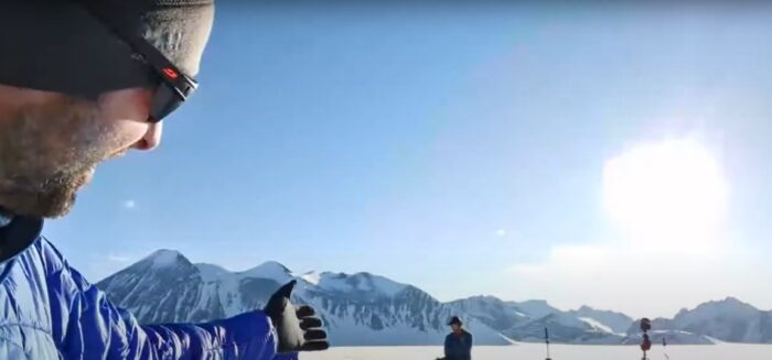
Let's pause here for a moment.
For any of this to make even a lick of sense, you are going to have to learn a little something about what the Flat Earth movement believes. Here it is in bullet points, so we don't have to spend more time on it than absolutely necessary.
- Flat Earthers still exist, and they believe we live on a disc instead of a globe.
- They have all kinds of reasons for this, none of which are very good.
- One of their beliefs is that Antarctica is a narrow strip of land that circles the "disc," with a gigantic sea in the middle. All the rest of the continents exist in the middle of this gigantic sea.
- Because of this, there is no such thing as 24-hour sunshine in Antarctica. It would have to get dark somewhere along that big ring island.
- A powerful group of [insert a variety of conspiracy theories here] have banded together to keep Flat Earthers from visiting Antarctica to prove this.
Here's a helpful depressing visual aid.
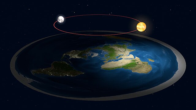
Hope is the thing with feathers (that shuts its eyes when it sees the curvature of the Earth)
Enter Will Duffy, the pastor of a small church outside of Boulder, Colorado. Duffy proposed The Final Experiment — a project that ultimately took Duffy, four Flat Earth influencers (yes, that's a thing), and four round earthers (otherwise known as regular people) to Union Glacier, Antarctica, earlier this month. There, they observed the 24-hour sun firsthand. Then they recorded a 50-minute YouTube livestream.
"I created The Final Experiment to end this debate once and for all. After we go to Antarctica, no one has to waste any more time debating the shape of the Earth," Duffy, in one of the most charmingly naive statements ever voiced in the internet age, said of the project.
But don't get Duffy wrong. He's no Flat Earther. His intention seems to have been the genuine offer of a directly observable piece of evidence — one that Flat Earthers couldn't ignore or explain away via tangled conspiracy theory.
That's commendable, but unfortunately for Duffy and humanity's chances of ever making it into the United Federation of Planets, that's not how this works. That's not how any of this works.
"Sometimes you are wrong in life"
At least one Flat Earth influencer — Jeran Campanella, and no, I'm not going to link to his YouTube — was willing to make a small concession.
"Sometimes you are wrong in life," Campanella said in the video. "I thought there was no 24-hour sun. In fact, I was pretty sure of it. I realize that I'll be called a shill for just saying that, and you know what, if you're a shill for being honest, so be it — I honestly believed there was no 24-hour sun. I honestly now believe there is."
You have to give Campanella this; he knows his people. Shrieks of "shill" immediately echoed across the live stream chat window. Campanella then hedged, making it clear that the existence of a 24-hour sun does not negate his flat earth beliefs. It merely provides him and others with an unexplainable phenomenon.
Other Flat Earthers on the expedition had similar views. They couldn't deny what they witnessed but expressed confidence that it would somehow fit into their existing worldview, given enough time and "research." Even this slight nod to reality was a bridge too far for many viewers, who spent a good deal of time talking about green screens.
So it goes.
A23a, the world's largest and oldest iceberg, has spent most of the past year stuck in one spot, spinning slowly in a circle. Now, just in time for the New Year, it's gotten its act together and is once again on the move. This is a natural and observable scientific phenomenon and totally not a metaphor for your life.
The mega-berg, which has been rotating about 15 degrees per day just north of the South Orkney Islands since May 2024, has broken free of the Taylor column that held it in place and is moving inexorably towards its eventual destruction in warmer waters.
A Taylor column is a column of water rotating above an underwater mountain and which traps objects on the surface in place. A23a fell into such a trap early last year. Before that, A23a was part of Antarctica's Filchner Ice Shelf.
It calved from the shelf in 1986 and grounded in shallow water in the Weddell Sea shortly thereafter. Finally breaking free from the ocean floor in 2020, A23a drifted around for several years before heading northward. But the Taylor column caught it, and it's been slowly completing one rotation every 24 days since. Until mid-December, that is, when scientists noticed it had at last broken its watery shackles.
“It’s exciting to see A23a on the move again," Dr. Andrew Meijers, an oceanographer at the British Antarctic Survey (BAS). "We are interested to see if it will take the same route [as] the other large icebergs that have calved off Antarctica."
Depending on how you like to measure your icebergs, A23a spans an area about the size of one Rhode Island, two Londons, or 35,893,440 average-sized sheep standing shoulder to shoulder and snout to tail. Approximately.
Bad luck became serendipity for a Canadian man when his dropped camera captured dramatic whale feeding behavior.
Peter Mieras is a British Columbia-based underwater videographer. He was experimenting with attaching a camera to a fishing pole when he ran into a hiccup — the line broke, and his camera sank beneath the water.
“I thought, ‘That sucks,’” Mieras told CTV News Vancouver.
He had all the diving gear he needed to retrieve his lost camera. But before he could, a flock of birds and a group of sea lions began feasting on a dense ball of anchovies just off his dock. No videographer would pass up a chance to record that, so Mieras pulled out another camera to capture the action.
Then, a humpback whale joined in the meal, breaching several times as it pushed through the anchovies. Mieras and his wife, Kathy Johnson, spent the next two hours watching the show, then fished out the camera once the animals had dispersed.
But any footage Mieras recorded from his dock paled into comparison to what he saw when he plugged in his once-sunken camera.
The device had landed at a perfect angle to capture the hunt from underwater. In another stroke of luck, the school of anchovies lined up perfectly with the sunshine refracting through the water, meaning the humpback is in perfect silhouette as it crunches through the fish.
"This is once in a lifetime,” Mieras said of the footage.
“We just burst with glee,” Johnson echoed. “We just watched it over and over again because we just couldn’t believe what we were seeing.”
Watch it for yourself below.
Three Norwegians are now attempting speed records along the Hercules Inlet to South Pole route. Arne-Kristian Teigland is hoping to beat Frenchman Vincent Colliard's record of last year, while Kristin Harila and Hege Victoria are both vying for Preet Chandi's women's record, also set last year.
Crossings
Ashkay Nanavati notched a win on his ambitious unsupported 110-day, 2,736km full crossing after passing the Wujek Ridge, the steepest portion of his route.
"The three days on Berkner were still the hardest part of the trip," the solo skier noted in his most recent update. Nanavati lost valuable time on Berkner due to the unexpectedly deep snow. "But it is still great to be done with [Wujek Ridge]," he continued.
Nanavati took an "active recovery day" after making it up Wujek's incline. He still skied a full day but purposefully moved more slowly to let his legs recover from the effort. Despite soft snow, Nanavati has managed to log some longer distances lately (17km to 20km daily), something he will desperately need to increase if he hopes to complete a solo, unsupported full crossing. Currently, he's 40 days in.
With his recent run, Nanavati has inched his daily travel up to 14.5km/day from last week's 14km/day. To complete a 2,736km journey in 110 days, he needs to average almost 25km/day.
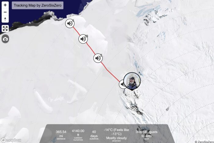
Youngmi Kim is creeping ever closer to her South Pole resupply point on her solo, supported inland crossing. The South Korean began at Hercules Inlet and will finish at the edge of the Ross Ice Shelf, a journey of 1,700km.
The last week of her travel featured difficult terrain. Her update from December 14 says it all in just three words: "Sastrugi, sastrugi, sastrugi!"
But in her December 17 post, she mentions the wind-sculpted features have abated for now. Forty-two days in, Kim has skied 919km.
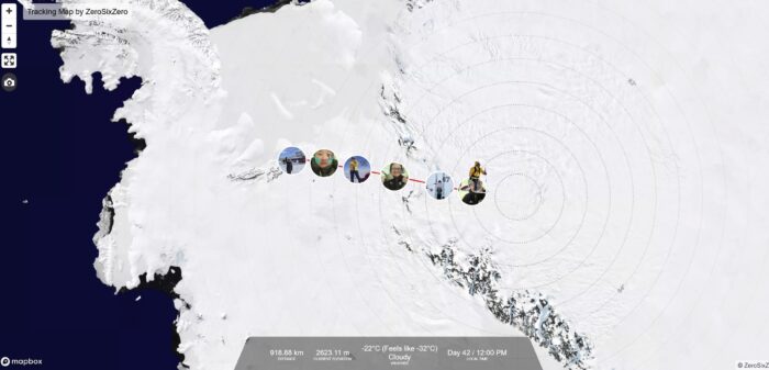
Hercules Inlet to the South Pole
Norwegian Arne-Kristian (AK) Teigland finally began his attempt on the men's Hercules Inlet to South Pole speed record this week. Vincent Colliard set the record last year. Teigland will need to travel the 1,130km route in under 22 days, 6 hours, and 8 minutes, or roughly 54km a day.
Teigland's tracker isn't showing the daily or total distance traveled. However, Teigland's map shows each of Colliard's camps, and the Norwegian has been slightly ahead of the Frenchman at each nightly stop.
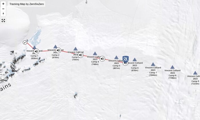
Teigland recently suffered a poor night's sleep and a corresponding disappointing showing the next day. But he still ended that day ahead of Colliard.
Norwegian Kristin Harila still has not formally announced her intention to set the women's speed record on the same route, but judging from her pace, we assume that she is. Harila is 11 days into her push. On day nine, she noted that she faced strong winds, only managing 30km in 10 hours.
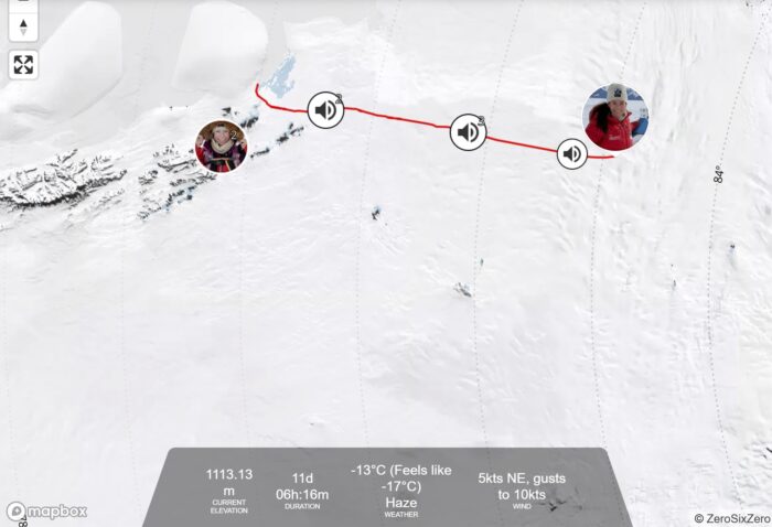
Day 10 saw improving conditions, allowing Harila to use her skiing background to rack up 45km in 14 hours. She has generally put in 30km+ days, with many over 36km. That puts her in a decent spot to grab the record. Chandi averaged 36km/day when she set her record of 31 days, 13 hours, and 19 minutes last year.
However, for the last week, Harila has mentioned persistent lower back pain. That this injury hasn't resolved itself is a worrying sign for the athlete's effort. The coming week will give us a better idea of Harila's chances.
Hege Victoria rounds out the Norwegian speedsters. She is also attempting to beat Chandi's female record. Her only voice update so far was from December 16, on the morning of day six of her attempt:
"My body is good, the first four days have been tough. A lot of snow you have to wade through, and the sled is still heavy, so it's been a bit of a struggle," she said, echoing typical sentiments shared by Hercules Inlet skiers. "But now that I'm coming up, hopefully it will be harder and more slippery so I can cover even more kilometers."
In the past, skiers attempting to break records have sometimes been cagey about their daily distances and locations. ExplorersWeb can't find any tracking information on Victoria, and she didn't include hard numbers in her update.
View this post on Instagram
In his update at the end of day 25, Satish Gogineni mentioned he'd logged 27km, his best so far. Gogineni is about 410km into his South Pole expedition. He's pleased with his gradually increasing daily distances, and improving snow conditions are making things easier for him. He did mention that his sled flipped a few times yesterday -- a typical issue around sastrugi.
"Every time it did, I got a break [from skiing]," he said, looking on the bright side.
View this post on Instagram
Danish skier Rasmus Kragh has picked up the pace after struggling last week and seems to be in better spirits than he was in our last update. He managed to squeeze in a few 25km days, a much-needed improvement given that last week he reported diminishing food supplies. Just over the 84th parallel, he's covered 475km in 29.5 days. That's a current average of 16km/day.
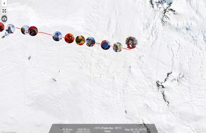
English skier Catherine Buford started on the same day as Kragh and is a little behind him at 448km.
Buford had a rough mental day, she reported in her most recent update. Nightmares led to poor sleep. Then, like several other skiers in the last week, her sled flipped on ice, and she had a "minor, could have been a major, disaster when I had a fuel leakage," she reported.
Her audio signal dropped out when she noted how much fuel she lost but picked back up in time for ExplorersWeb to learn that no food was contaminated. Judging by her description of the leakage as "minor," we can guess that she still has enough to reach the Pole.
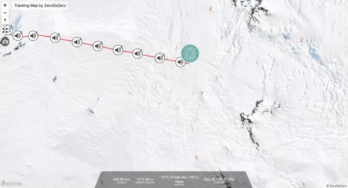
Of the skiers on the Hercules inlet route, Norwegian Karen Kylleso is the farthest along. She started on the same day as Buford and Kragh, so she's 29.5 days in and has covered 523km, averaging almost 18km/day.
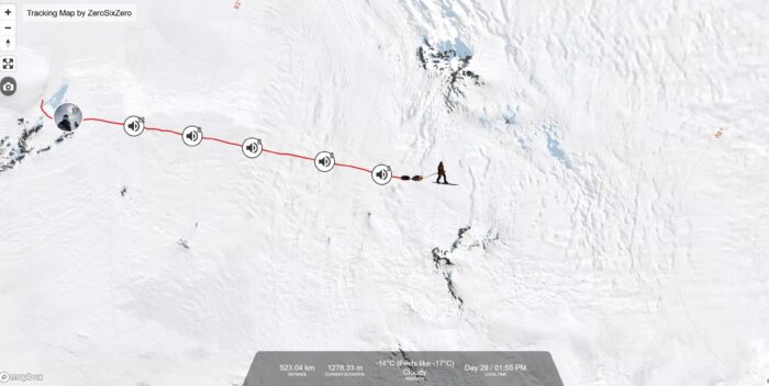
Messner Start to South Pole
Turkish skier Ali Riza Bilal has crossed the halfway point of his journey, covering 470 of the 911 kilometers along the Messner Start to South Pole route. He's 29.5 days in. A malfunctioning ski binding has been the bane of Bilal's existence for the last few weeks, and his updates during that time were uniformly dour. But four days ago, he finally got some relief.
Antarctic Logistics & Expeditions left Bilal a ski binding and five days' worth of food at a fuel depot, and the gear fix has made a world of difference to the skier. His daily distance has bounced back to roughly 25km/day.
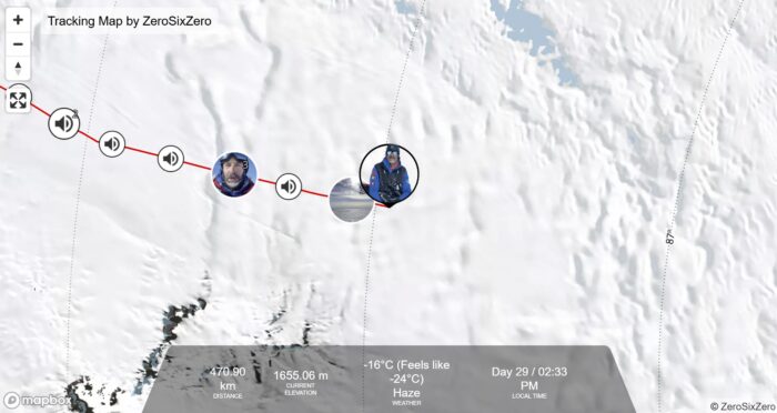
English skier John Huntington crossed the 86th parallel a few days ago and is more than halfway through the route. After a physically demanding start, Huntington has settled into a 20km+ daily groove and is happy with his progress.
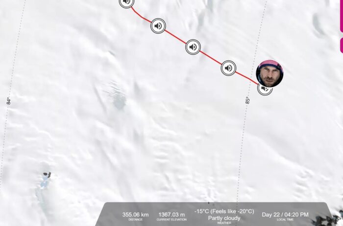
Berkner Island to South Pole
"It's been a good few days of skiing. It's flattened out quite a bit," Frederick Fennessy reported on the night of day 34. The English skier is on a 1,400km Berkner Island to South Pole route and has about a month more travel ahead of him. He's skied 755km, which puts him close to his halfway mark.
Fennessy has been on a steady 20km+/day pace for the whole expedition so far.
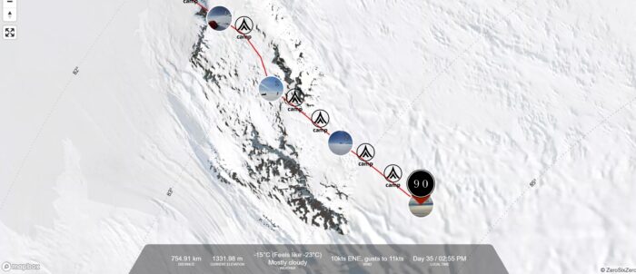
An injured cave explorer was successfully pulled into daylight early Wednesday morning after a four-day rescue, multiple media outlets are reporting.
Speleologist Ottavia Piana was exploring an uncharted part of the Bueno Fonteno cave near Bergamo, Italy when a rock gave way under her feet. The 32-year-old caver fell five meters and sustained fractures to her face, knees, and ribs. She was with eight other people when the accident occurred. Rescuers were alerted to the incident on Saturday.
The charted portions of the cave network extend over 19km, and the uncharted parts are narrow, twisty, and difficult to navigate. It was a four-kilometer journey through previously unexplored terrain from the site of Piana's accident to the surface.
View this post on Instagram
Never again
“The morphology of the cave also made it difficult, with some areas at risk of a landslide, which is also why the accident occurred, as a rock gave way beneath her feet," Mauro Guiducci, vice-president of the Italian National Alpine and Speleological Rescue Corps (CNSAS) said in a press conference.
Responders strapped Piana to a stretcher and slowly moved her through the web of tunnels, pausing every 90 minutes to asses her condition. The group of 159 expert volunteers occasionally used small explosive charges to clear blocked passages. The rescuers also laid telephone cables across the entire route to facilitate communication.
Rescuers accelerated their efforts on Tuesday after becoming more concerned about Piana's condition. In the end, they stepped into fresh air 12 hours earlier than expected.
“She’s speaking very little but said she would never enter a cave again,” one rescue medic told the Italian press.
Piana has many years of caving experience, but this is the second time she's been rescued from the Bueno Fonteno system. Seventeen months ago, she was trapped for two days after breaking a leg.
View this post on Instagram
Federico Catania, another CNSAS member, told the Italian press that Piana was well-prepared for the exploration. “We don’t judge the people we help,” he said. “We just know that there is a person in difficulty, and we intervene. We can perhaps judge some inexperienced behavior, but this was not the case.”
On Jan. 1, 2025, adventurer, writer, and BBC presenter Alice Morrison will set off from the Jordanian border to cross the Kingdom of Saudi Arabia on foot. Expected to take five months over two winters, the north-to-south trek will pass through deserts, mountain ranges, and cultural sites before ending at the Saudi border with Yemen.
Saudi Arabia began issuing tourism visas in 2019, and Morrison jumped at the chance to explore it.
“I have been studying Arabic and the Middle East for 45 years, but Saudi has always
been closed to me. Now, I get to explore the heart of Arabia. I want to get past the politics and meet the people," Morrison said in a press release.
Women-centered adventuring
The politics of Saudi Arabia — and relatively limited opportunities for women in the country — will make for an adventure that explores the social as much as the physical terrain. Morrison will make a point of seeking out Saudi women to interact with. She'll be accompanied at various stages by Princess Abeer Al Saud, racing driver Mashael Obadain, guide Sara Omar, and a group of Saudi's first female wildlife rangers. Morrison is fluent in Arabic.
View this post on Instagram
Due to the extreme temperatures in Saudi Arabia during much of the year, Morrison will split her expedition over two separate winters.
Extensively traveled in the Middle East and North Africa, she has past experience trekking long-distance with camels. She's also cycled the length of Africa and walked across Jordan. Her book Walking with Nomads chronicles the effects of climate change on Saharian nomadic people.
"I am a mid-life woman (61), and I hope my adventure inspires others to get out and follow their dreams. I couldn’t have attempted this at 25; I needed the life experience to get me here," she said.
The Saudi Arabian trek will become a BBC series and a book when she's finished, but she'll certainly be making posts along the way. You can follow along here.
Two years after Alex Honnold famously free-soloed El Cap, he sat down for the Nobel Prize's version of a Ted Talk with psychologist Armita Golkar. The conversation focused on fear — where it comes from, how to handle it, and when to ignore it. The resulting 30-minute video, posted in late 2019, is a window into the inner workings of a man who knows a little something about mastering his mind.
And it's a useful watch for any outdoor explorer.
Exposure leads to devaluing
At one point, as Honnold is talking, he becomes distracted by a photo being projected on the screen behind him. It's a shot from his El Cap free solo — the crux of the route. Honnold uses the photo to segue into a conversation about risk and uncertainty.
"Four meters of [that route] is incredibly hard and dangerous," Honnold says. "But it's a spectrum, and I think that in normal life, everything we do has a spectrum of risk like that as well. Every time you get in a car, there's danger involved. There's risk, there's uncertainty. Every time you step out your front door, there's uncertainty."

Golkar agrees with him, noting that his point touches on an important aspect of fear — how regular exposure to something can decrease its emotional impact.
"The fact that we make all these decisions on an everyday basis that are typically full of not just risk but uncertainty [is important]. Traffic, trusting other people, you don't have any control while sitting in a car what anyone else is going to do in that situation," she says.
"It would be a 100% deadly outcome if you fall," she notes, speaking to Honnold. "Traffic accidents could be potentially deadly. We are used to them because they are so frequent. So, we don't really pay attention to the risks and uncertainties in everyday life because they are so frequent...Which makes us kind of devalue the risks and uncertainty associated with traveling in a car."

Golkar goes on to extend the metaphor to the decision to have a child, which is also a very common choice full of long-term risks and uncertainties.
Preparation and experience
Honnold then points out that something like free soloing is an activity he's chosen, prepared for, and mitigated risk for as much as possible. His theory is that the most dangerous risks in life are the ones you take without fully thinking about.

"There's rational fear that makes sense because it's your body responding to danger, and then there's felt fear. The challenge in rock climbing is to be able to differentiate between the two and know which to heed and which to ignore," Honnold says.
Curiosity and uncertainty
The conversation springboards into a related topic: How experience can mitigate uncertainty and the specific difference between risk and uncertainty. The distinction is that risk involves calculation, whereas uncertainty involves being trapped in a cycle of worrying about uncalculated factors. But uncertainty isn't all bad — Golknar associates it with curiosity. After all, we like not knowing what we're getting for Christmas (or at least most of us do).
According to Golknar, the human desire to mitigate fear is what led to us developing curiosity in the first place.
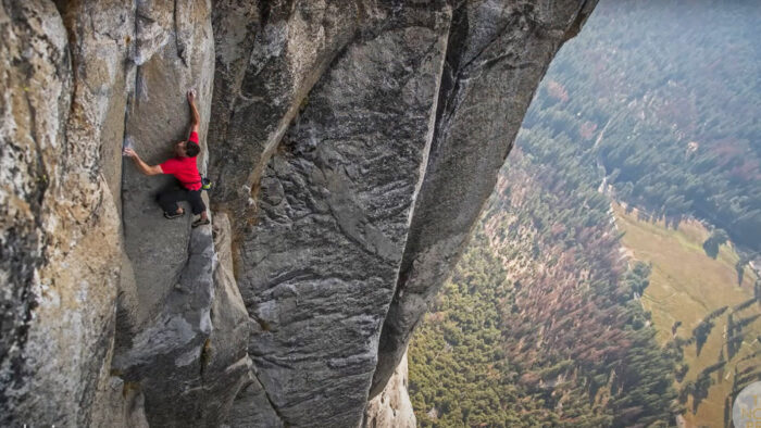
Honnold goes on to say that, in his opinion, the best way to deal with uncertainty — in this case, unexpected situations on the wall — is to build a broad base of experiences on which to fall back. Again, it comes back to preparation. Honnold is famous for it, especially in advance of his free solos.
We'll stop there because the conversation is best experienced as a video. But it's a worthwhile watch from start to finish — particularly if your hobbies involve dangerous situations.
You've heard the well-worn saying — that we know more about outer space than we do about parts of the ocean floor. With the help of a powerful satellite called SWOT, that might be changing.
The Surface Water and Ocean Topography (SWOT) program is a joint venture between NASA and space agencies from France, Canada, and the UK.
NASA launched the satellite in late 2022. SWOT uses "phase-coherent, wide-swath radar altimetry" to collect its information, according to a recent paper based on the first year of SWOT's data.

Ocean distorted by what's underneath
If your eyes crossed while reading that, here's what you need to know — SWOT's fancy tools map the sea floor by measuring the height of the ocean's surface. Believe it or not, the surface distorts slightly based on the geography underneath it, and SWOT can spot the minute variations with much more detail than any piece of technology that came before it.
In the paper, published in the journal Science earlier this week, study co-author Yao Yu claimed that "One year of SWOT data offers more detailed information than 30 years of [observations by earlier satellites]."
Yu, a physical geographer at Scripps Institution of Oceanography, used the data to create a hyper-detailed, high-resolution map of the ocean floor. In fact, it's twice the resolution of previous ocean-floor maps.

She and her team were particularly interested in mapping smaller abyssal hills (parallel ridges on the seafloor) and volcanoes previously invisible to lower-resolution satellites.
"Finding these features will really push scientific developments forward, including tectonic theories," Yu told LiveScience. That's because the volcanoes and abyssal hills show up in areas of high tectonic activity and on continental margins (where the continental crust meets the ocean crust).
"We're very interested in [continental margins] because the ocean currents and tides bring nutrients and sediments from the land to the ocean and influence the biodiversity and ecology in the coastal area," Yu said.
And all this from just the first year of SWOT data. According to NASA, SWOT is nearing the end of its three-year mission, but there are still two years of info for earthbound scientists to sort through. Who knows what they'll find?
Sunny weather has most skiers celebrating easy navigation and fully charged devices, but a few must pick up their pace. Norwegian Hege Victoria has recently announced she intends to break the women's speed record on the Hercules Inlet to South Pole route. Kristin Harila has also started from Hercules Inlet and is making good time. Although she hasn't announced a speed record try, is the former cross-country skier turned mountaineer attempting the same thing?
Crossings explained
In previous stories this year, we've referred to crossings generically, but it's worth being more specific to avoid any confusion. The Polar Expeditions Classification Scheme (PECS) clarifies the difference between a full crossing and an inland or partial crossing.
A full crossing is from coastline to coastline. Because ice shelves in Antarctica permanently extend well beyond the landmass itself, a full crossing begins and ends at the open ocean via the South Pole.
An inland crossing, on the other hand, skips the vast ice sheets that protrude from the Antarctic landmass. The majority of modern Antarctic crossings are inland crossings.
For more on this topic, check out this ExplorersWeb story.
Crossings
Ashkay Nanavati's solo, unsupported crossing is the longest effort in Antarctica this season. As you can see from his proposed route below, Nanavati is undertaking a full crossing.
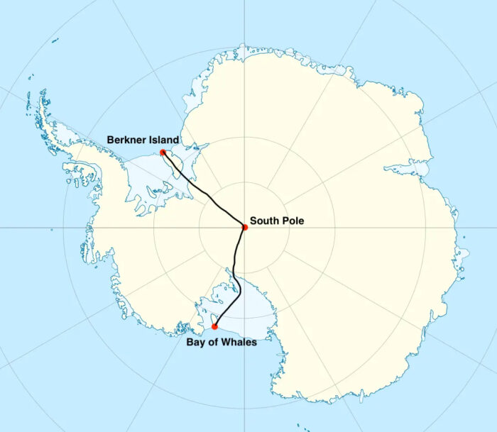
The skier hopes to travel 2,736km in 110 days, hauling a sled that started out weighing 170kg. He's now 33 days into the effort, just shy of the 82nd parallel, and has covered 466km.
That averages out to roughly 14km per day. Nanavati will have to pick up the pace if he wants to hit his target. However, we can expect him to increase his daily distances as his sled lightens. Nanavati has repeatedly said he plans to increase his pace gradually and is trying not to go too hard right out of the gate.
"The current challenge...is a thin layer of new snow that hit a few days ago. It was my understanding that the Filchner Ice Shelf would be a hard surface, and I did get that for a day, but then that night, which was a few nights ago, some new snow hit," he said in his latest audio update.
"It's not that bad at all, nothing compared to the soft snow on Berkner [Island]...but you do feel it a little bit. It's not so much the struggle that bothers me...it's just that it makes it a little harder to get the kilometers. But no complaints," Nanavati continued.
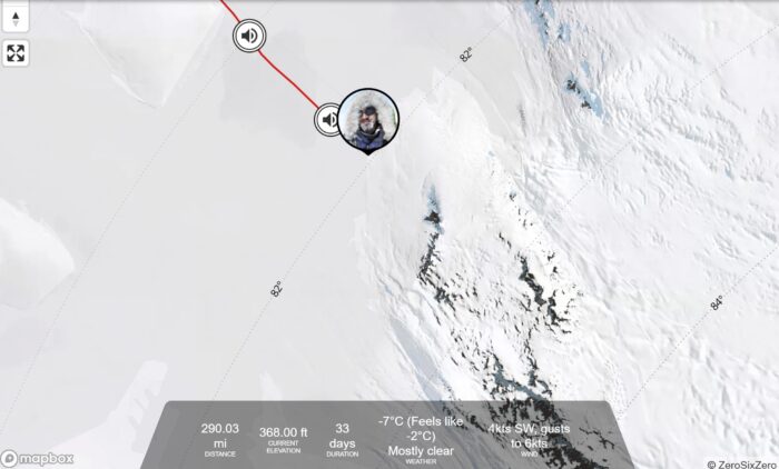
As of day 35 of Youngmi Kim's 1,700km solo supported (she will resupply at the South Pole) crossing, the South Korean has skied 751km. She's attempting an inland crossing. Looking at the map below, you can see she began skiing at the edge of the landmass itself and will stop at the inner edge of the Ross Ice Shelf.
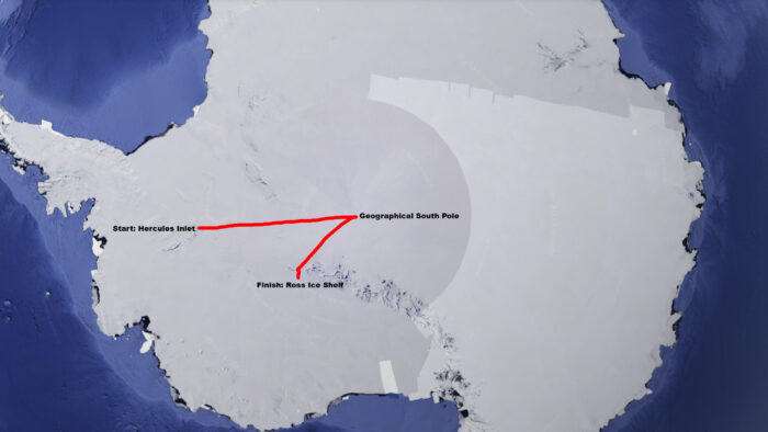
Kim is three-quarters of the way between the 86th and 87th parallel. In a December 11 text, she celebrated a window of sunny weather, noting that it's the first time all her devices have been fully charged at the same time.
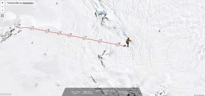
Kim is skiing Felicity Aston's 2011 route in reverse. Aston was the first woman to make an inland crossing solo. Youngmi Kim hopes to be the second.
Hercules Inlet to the South Pole
Indian skier Satish Gogineni is consistently making over 22km per day with 10 hours of effort, and he's happy with that progress. Gogineni spent some time in a recent update talking about the sastrugi he's navigated in the last week, describing the experience as "like Jurassic Park." We're not entirely sure what that means, but we like it.
View this post on Instagram
Danish skier Rasmus Kragh is behind where he needs to be in terms of daily travel, and he knows it.
"The speed needs to be increased, or I'll run out of food somewhere out here in the middle of the ice. I have food left for another 30 days," he noted in a recent Facebook post. But he remains hopeful, explaining that skiing conditions are good at the moment and his sled now weighs under 100kg.
"This project is probably the most persistent and binding thing I have ever done," he said (note this is a clumsy internet translation from Danish, but the meaning comes through).
English skier Catherine Buford is 22 days in and has traveled 284km. She'll reach the halfway point between the 82nd and 83rd parallels soon.
A run of good visibility has helped her to make progress without having to stop for constant compass checks. In her latest voice update, she said, "I'll get my bearing for the day, then find something to fix my eyes on in the distance from that bearing, then just keep going to the next thing in line, and the next thing in line. Then, every two to three hours, I'll switch on my GPS and make sure I'm not going too off course."
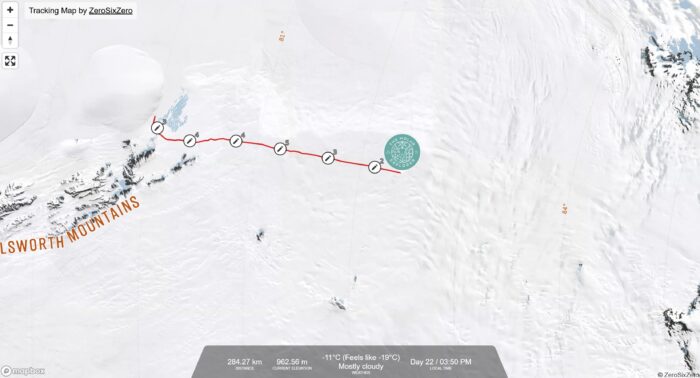
In whiteout conditions, this strategy doesn't work, and skiers lose valuable time constantly checking their bearings. In the past, some skiers have used homemade compass trays to keep their direction without having to stop every half-dozen strides in a whiteout to take a new bearing. We're unsure how many skiers are using a compass tray this year.
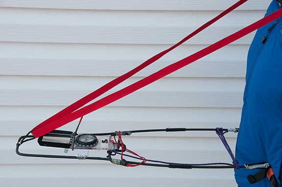
Norwegian Karen Kylleso is also 22 days in but has covered 342km compared to Buford's 284. Kylleso had most of her gear custom-made and began her journey with a sled weighing less than 100kg. In her last update, she said she'd managed to ski 25km in one day and was "starting to feel the flow much better now, so that's a very good sign."
The typically cheerful Kylleso seems to be having a blast and almost always mentions how much she's enjoying herself.

A few weeks ago, we mentioned that multi-discipline athlete Kristin Harila would soon be undertaking a solo unsupported South Pole push on the Hercules Inlet route. Harila began that journey nearly five days ago and has skied 151km at the time of writing. She is on a fast pace, consistently logging 30kms in 12-hour stints.
"But of course, I wish the conditions on the snow were a little bit better, so I could go a little bit faster," Harila said in a voice update.
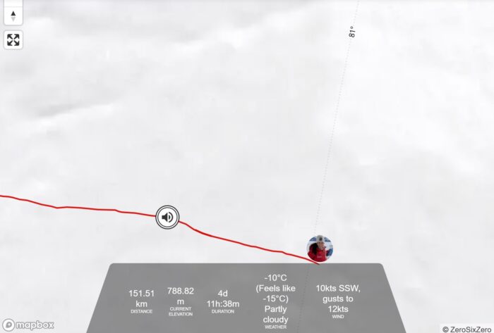
Norwegian Hege Victoria has also recently announced that she intends to break the women's speed record from Hercules Inlet to the Pole. The record is currently held by Preet Chandi, who set it last year at 31 days, 13 hours, and 19 minutes. Four days ago, Victoria was at Union Glacier. ExplorersWeb will provide updates once the expedition begins.
The Hercules Inlet to the South Pole route is 1,130km, so most skiers (except for Harila and Victoria) are roughly one-quarter of the way to the Pole.
Messner Start to South Pole
Turkish skier Ali Riza Bilal, also on day 22, has traveled 317km despite persistent ski binding issues, and a host of other gear trouble. The binding problem is making sastrugi navigation difficult.
The Messner Start to South Pole route is 911km long, so Bilal is about 1/3 of the way through.
Bilal's mental state has been troubled for almost the entire expedition. According to his Instagram feed, Bilal "feels lonely and down while walking," but he did manage to listen to some music, which cheered him slightly (his headphones have also been malfunctioning, apparently).
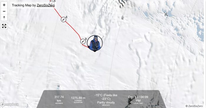
John Huntington is currently just over the 85th parallel and is making better time. He is 355km into the route on day 22 and has traveled over 130km since last week's update.
"We are definitely getting there," the English skier noted in a recent audio update. He's been happy with his progress and celebrated with a short (10km) day yesterday.

Berkner Island to South Pole
Now 28 days into his 1,400km Berkner Island to South Pole journey, Frederick Fennessy is making good time. He's 603km in and averaging about 20km per day. He recently crossed the 83rd parallel.
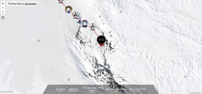
But his pace is taking a toll.
"Feeling okay over the last few days. At times, absolutely exhausted," the skier admitted in his most recent update. "Legs shattered, probably from the increase in altitude. Skied around some masses the last couple of days, small detour, but uneventful."
Why did the woolly mammoth cross the road?
Or more specifically, why did the woolly mammoth cross the road, but not the woolly rhino?
A new study could explain why some ancient animals, like mammoths, crossed the Bering Land Bridge to North America during the last Ice Age while others, like woolly rhinos, stayed put in Eurasia.
Last year, a team of researchers led by Sarah Fowell, a paleogeologist at the University of Alaska Fairbanks, used sediment cores and sonar readings to study the seafloor at the bottom of the Bering Strait. They examined the shallowest parts of the ocean floor, i.e., the parts that would have been above water between about 36,000 and 11,000 years ago.
Until the study, scientists mostly assumed the Bering Land Bridge would have looked very much like other dry, northern land at the time — a steppe ecosystem, heavy on grass with some large bodies of water breaking up the terrain.
“We were looking for several large lakes,” Fowell said. “What we actually found was evidence of lots of small lakes and river channels.”
The team's sediment cores also turned up moss leaves, egg cases, and other fossils that indicate "widespread water in the region."
In short, the Bering Land Bridge was more of a Bering Land Swamp, analogous to the modern-day Yukon-Kuskokwim Delta in western Alaska, the scientists said.
Why not the woolly rhino?
The first-of-its-kind study could help explain why some animals (including humans) crossed between North America and Asia while others stayed put. A bog would be no issue for a mammoth, especially if, as Fowell and her team suspect, there were still areas of higher, drier terrain to be found on the crossing. Birds would have also loved it. But animals like the woolly rhino shied away from such environments, preferring to stay on the arid tundra to which they were more accustomed.
The study is a good example of how longstanding scientific assumptions can be upended when the right minds come along to tackle the problem.
“We’ve been looking on land to try to reconstruct what is underwater,” said Jenna Hill, a geologist with the U.S. Geological Survey also involved with the study. “But that doesn’t really tell you what was on land that is now submerged between Alaska and Siberia.”
The Bering Land Bridge
Scientists believe that the Bering Land Bridge emerged at a moment when cooler temperatures caused much of the planet's seawater to become locked up in ice.
They estimate that sea levels during the last Ice Age were as much as 122m lower than they are now. At that level, an area of "dry" land as wide as 1,000km would have stretched from Asia to North America across what is now the Bering Strait. Today, some islands — St. Lawrence Island, King Island, and several others — are all that remain of the once huge migratory pathway.
Fowell and her team presented the study this week at the Advancing Earth and Space Sciences annual meeting in Washington, D.C.
In the 1800s, many explorers flocked to the polar regions. But another vast, uncharted land presented opposite difficulties, one that often attracted adventurers of a more spontaneous — but no less courageous — stripe.
The first British ships carrying convicts-turned-colonials arrived in Australia in 1788. Nearly 40 years later, a man named Charles Sturt arrived on Australia's sandy shores. He was a soldier manning one of those convict ships, and somewhat adrift in his own life. Liking what he saw of the country, he decided to stay. In time, his contemporaries called him "Australia's greatest explorer."
Adrift on the sea of life
Charles Napier Sturt's early life could be seen as a blueprint for the construction of a future explorer. Born in India during the British occupation, he was sent to live with relatives in England at the age of five. He attended and excelled at school, but as the eldest of 13 children, his father lacked the funds to send him to Cambridge to complete his education.
After an aunt pulled some strings, Sturt found himself assigned the rank of ensign in the British army. He saw action against the Americans in the War of 1812, apparently successfully, as he was promoted to the rank of Captain by 1825.

Why, exactly, Sturt took a detachment from his regiment to escort convicts to Australia two years later is unclear. Perhaps he was bored with military life. Whatever the reason, when Sturt came ashore in Sydney in 1827, he immediately took a liking to the climate and the landscape.
At 32, Sturt was in the prime of his life, and the governor of New South Wales swiftly promoted him again. Now moving in rarified circles, Sturt was befriended by other great Australian explorers: John Oxley, Allan Cunningham, and Hamilton Hume, among others.
Inspired by their tales of outback adventure shared over brandy and cigars, Sturt wasted no time petitioning for his own expedition. By the next year, he was pushing into the Australian interior.
First expedition
Like many Australian transplants of his day, Sturt was obsessed with the idea of an Australian "inland sea." This made sense to Europeans who were used to geographical features like the Mediterranean, the Caspian Sea, and the North American Great Lakes. They simply couldn't conceive that a landmass as massive as Australia wouldn't contain a correspondingly large body of water. As it happened, scarcity of water was a running theme during the rest of Sturt's Australian travels.
For this first expedition, Sturt was accompanied by a servant, three soldiers, and eight convicts. It's unknown if the convicts were along for the ride willingly, but it's safe to assume the answer is no. The party pushed into unknown country in December, following the courses of the Macquarie, Bogan, and Castlereagh Rivers.
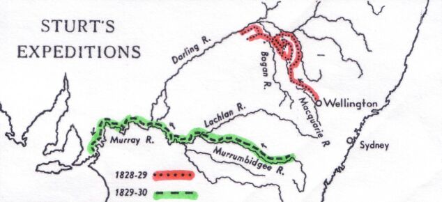
They eventually reached the Darling River. (Sturt named it after the governor who had promoted him and supported his expedition.) The Darling is the third-longest river in Australia. In the coming century, it became an important travel route for Australia's colonials.
But 1828 was a drought year, and most of the rivers the party followed were sluggish, brackish, or completely dry. Finding water on this expedition was extremely difficult. By 1829, Sturt and his men were back in Wellington Valley. Although they'd charted important waterways, Sturt was disappointed by the lack of an inland sea. He was still determined to find it.
Into the bush again
Sturt wasted no time convincing Governor Darling to approve a second expedition. The nominal goal was to determine the course of New South Wales' westward-flowing rivers. But Sturt had an inland sea to find.
This time, the expedition carried a disassembled whaleboat. When the party reached the Murrumbidgee River in early 1830, it assembled the boat and began traveling downriver.
It was on this portion of the expedition that Sturt showed his mettle as a leader. Australia's Indigenous people heavily populated the waterways of New South Wales, and the party clashed with them several times. Sturt proved a deft negotiator, always choosing to settle disputes with parlay instead of violence. His strategy worked — Sturt and his expeditions never resorted to armed conflict with Aborigines.
On this expedition, Sturt also gained his reputation as a leader with consummate concern for his men. This leadership style goes a long way toward explaining why adventurers continued following him into the bush, even though his expeditions tended to end in disappointment.

Disappointment
By late January, Sturt had reached the Murray River and began following it downstream until its confluence with the Darling. In February, the expedition reached the sea and came to two disappointing conclusions. One: the Murray's swampy, sandbar-laden mouth was impassible to shipping. And two: if Australia had an inland sea, it wasn't anywhere close.
The party now faced the daunting prospect of rowing the whaleboat upstream against the Murray and the Murrumbidgee, in the dead of the Australian summer, on short rations. It was brutal work, and it took the party nearly two months to partially retrace its steps.
At the site of modern-day Narrandera, on the banks of the Murrumbidgee, the group lost all strength. The heat, effort, and lack of nutrition had broken Sturt's health, and the once hale 35-year-old's vision was beginning to darken. Sturt halted the expedition and sent the two most healthy remaining men overland in search of supplies. The rescue mission was a success, and Sturt's expedition eventually returned to Sydney with no loss of life after rowing nearly 2,900km.
But Sturt would never be the same.
Blindness, and a return to Australia
Sturt left Australia for England on sick leave in 1832. By the time he reached his home country, he was almost totally blind. His vision and some of his health gradually returned. In 1833, he published his account of his Australian adventures, Two Expeditions into the Interior of Southern Australia during the years 1828, 1829, 1830 and 1831. While the work gained him fame among Great Britain's reading public, it did little to help his goal of further promotion in the British military. After marrying the daughter of a family friend in 1834, Sturt decided to return to Australia, this time as a farmer.
He and his wife settled on 20 square kilometers near present-day Canberra. He fit into the agrarian life nicely and even conducted a few mini-expeditions. In 1838, while driving cattle overland from Sydney to Adelaide, he proved that the Murray and a river known as the Hume were one and the same.
But Sturt never lost his dream of finding the mythical Australian inland sea. In 1844, now 49, undertook his final major expedition.
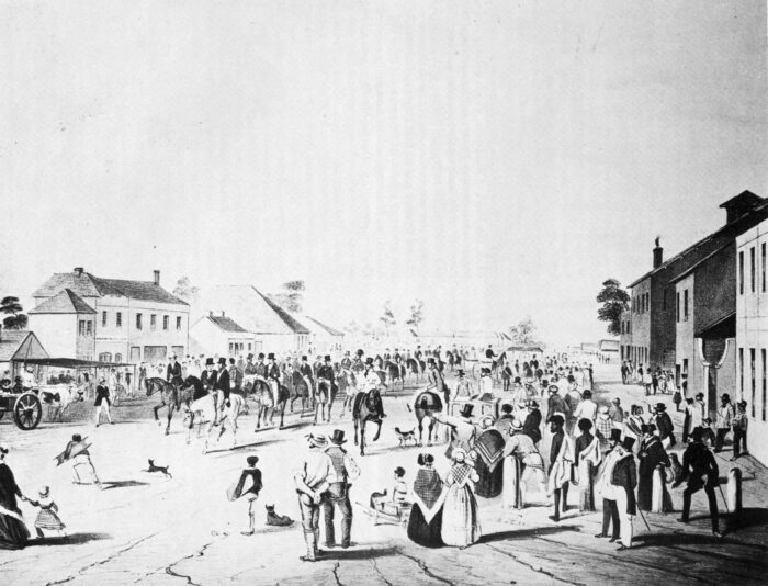
Ever the optimist
For his final foray, Stuart was accompanied by 15 men, 200 sheep, six wagons, and, always the optimist, a disassembled boat. The mission was to advance into central Australia, find the inland sea — and possibly plant a flag in the middle of the continent.
But Australia's unforgiving Simpson Desert had other plans. Despite his love for Australia, Sturt's health just didn't seem made for the place. Scurvy, heat, and lack of supplies took their toll, and surgeon John Harris Browne had to assume command due to Sturt's poor condition. The expedition set out for home, eventually traveling 4,800km.
It wasn't until 16 years later that Scotsman John McDouall Stuart planted a British flag in Australia's center point.
A 'born loser'?
Sturt lived out the rest of his days under the pressure of financial burdens, troubled eyesight, and intermittently poor health. He never recovered from his years of adventuring in Australia. He had political aspirations and applied for the governorships of Victoria and Queensland. But his expedition fame didn't translate into financial security, and the powers-that-be were unwilling to appoint such a relatively poor man to such high office. His application for knighthood also languished.
Sturt's affable nature worked against him in the political arena. As his listing in the Australian Dictionary of Biography notes:
"Indeed, his capacity for arousing and retaining affection was remarkable; it made him an ideal family man but a failure in public life. Without toughness and egocentricity to balance his poor judgment and business capacity, he had little chance of success in colonial politics. In this sphere, he might well be described as a born loser."

Sturt died suddenly in 1869, leaving behind his wife, two sons, and a daughter. And honestly, it's a wonder he made it to age 74.
But where Sturt failed as a politician and businessman, he succeeded as an explorer. His name speckles the Australian map — he even has a national park named in his honor. His treatment of the men who followed him and the Indigenous people he met during his expeditions is a model that other Australian explorers would have benefited from following.
And in a final stroke of belated recognition, after his death, Queen Victoria granted his wife the title of Lady Sturt — as if her husband had been a knight all along.
Erik Boomer and Ben Stooksberry are two of the best expedition kayakers in the world. But even they may have met their match when they travel to Chihuahua, in northern Mexico. The plan? First descents on the rivers that rampage through the region's famously beautiful (and dangerous) canyons.

¡Ay Chihuahua! is the 17-minute film the pair created about the expedition. The story unwinds as a good old-fashioned travel tale. After laying out the broad strokes of the expedition, we meet members of the Group of Speleology and Exploration Cuauhtémoc, a collective of Mexican canyon explorers. They chuckle ruefully when the kayakers ask them if the rivers they've targeted are runnable.

Dangerous and hard
"I think it's dangerous and hard," Ricardo Rios, one of the group's members, says.
But before the duo can get on the water, they have to wait out agonizing days of nonstop rain, which swells their initial objective — Rio Candameña — well past runnable levels. You can see Boomer and Stooksberry's frustration as they huddle under eaves and watch the water pour. Doubt starts to creep in.
"We are teeter-tottering between total stoke to drop into these rivers, and then when the rivers flash flood, we're scared and kind of wondering what the hell we're doing here," Boomer says.

But these are seasoned expedition kayakers, and they know that waiting — and the hesitation that accompanies it — is part of the job.
"In my experience, any worthy or difficult or challenging objective is just this mind game," Stookesberry says.
The kayaking starts in earnest about six minutes into the film. The kayakers change tacks while they wait for the Candameña's waters to recede, deciding to tackle a first descent of the nearby Río Concheño.

Boxed-out canyons
Kayaking awesomeness ensues. The boys scout when they can, but it's a long trip, and they have another river on their mind. Time is of the essence.
"Gnarly, boxed out barranca canyons that were just enough to make everything scary," Boomer notes of the river. "So you think to yourself you're going to go here, and here, and then go left. And then when you get into the canyon..." he finishes before trailing off ominously.

After several exciting kayaking sequences that will appeal to experts and neophytes alike, Boomer and Stookesberry finish their run in the small town of Moris. There, they party with locals before traveling back to the Candameña, whose waters are now at perfect levels.
Well. Perfect for the Candameña. There's a reason nobody else has notched a first descent on it. The pair probably spend more time portaging than they do kayaking. But when they do get to drop into whitewater, it's all adrenaline. The drops are steep, and the moves are must-makes.

"It's a marathon of Class V, a marathon of portaging, a marathon of intensity. And there just isn't one moment that you can pick out, except maybe the moment when things go bad." Stooksberry says.
The moment he's referencing occurs when Boomer puts a sizable dent in the bow of his kayak, then pokes a hole through it while attempting to repair it over an open fire.

In the end, the pair achieve their first descent and are all the better for it. "We didn't get held hostage. The people didn't threaten us. Nobody almost died. We don't hate each other. Maybe it's kind of a boring story," Stookesberry says.

Reader, trust me on this. It's anything but.
A historical society has announced a public fundraiser in an attempt to save the childhood home of Dr. John Rae, one of the luminaries of arctic exploration.
The Hall of Clestrain is a three-story, mid-Georgian villa nestled on Mainland, Orkney Island, Scotland. Rae was born there in 1813 and later spent a productive life exploring Northern Canada, including an expedition that discovered the final piece of the Northwest Passage.
He was involved in the search for the lost Franklin Expedition and was noteworthy for his adoption of native practices during his many journeys. It was his connection with Indigenous people that allowed him to learn that at least some of Franklin's men had ultimately resorted to cannibalism.

Leaky and crumbling
Rae's birthplace is no longer capable of keeping out the elements, according to the John Rae Society. Every storm that blows over Orkney causes the building to deteriorate further. So, on December 16, the Society will launch a 1.6-million pound ($2,300,000) fundraising effort to rebuild the slate roof, replace interior structural supports, and repair the exterior walls. The project will also create a new access road.

The project is estimated to cost 2.2 million pounds, but just under half of the funds will come from various public institutions, like Historic Environment Scotland, which has allocated £500,000 toward the cause. The remaining funds will be gathered via a public fundraising effort dubbed Save the Hall of Clestrain.
“The works will re-establish the Hall as a visible landmark and will make it ready for the next stage -– to faithfully restore it as the fine Georgian building it was in its 18th-19th-century heyday," Cheryl Chapman, chair of the John Rae Society, told The Scotsman.
There is only a small window of opportunity to save this nationally significant building from the elements, she added.
A Canadian man is recuperating in a hospital after thwarting a polar bear attack on his wife, according to the Nishnawbe Aski Police Service.
The couple, who live in Fort Severn First Nation in northern Ontario, had gone outside at 5 am on December 3 to look for their missing dogs. The polar bear attacked the woman in their driveway. The woman fell to the ground as the man "leaped onto the animal to prevent its attack," the service's press release says.
The bear then turned its attention to the man, who received "serious but non-life-threatening injuries to his arm and legs."
A neighbor heard the commotion, seized his gun, and fired several times at the animal, which retreated. Police responded to the sound of the gunshots. The bear was found in some nearby woods, where it had died from its wounds. The man is expected to recover.
An estimated 17,000 polar bears live in Canada. Between 2006 and 2023, nine people in Canada, Greenland, Norway, Russia, and the United States were killed by polar bears. Twenty-two were injured.
The last fatal Canadian polar bear attack occurred this past August when two polar bears mauled a worker for the company that services the North Warning System in Nunavut. The attack took place at a radar station on Brevoort Island, off the coast of Baffin Island.
While the weather in Antarctica has been sunny and beautiful for the last few days, a recent storm dumped soft snow on most of the expeditions, shortening daily mileage and causing extra work for the skiers.
Crossings
Twenty-four days in, Akshay Nanavati finally hit a long-desired goal. He surpassed the 20km daily mark while manhauling his exceedingly heavy sled. It was a moment to celebrate, and the skier wanted to hit that 20km daily milestone regularly moving forward. But his plans were immediately stymied.
"I got very, very soft snow today," Nanavati said in a voice recording on the evening of day 25. "Softest snow of the entire journey. So it was a slog, especially [after logging 21.7km] yesterday. A brutal reminder of just how much weight I still have behind me, probably 165km+."
Though he fell short of his goal, he still logged over 17km.
"The expectation of continuing yesterday's trend is what drained more than the physical slog," he continued. His recent updates also include mentions of foot and knee pain but he notes that he's prioritizing recovery with extra rest whenever possible.
Nanavati expects his solo unsupported crossing to take 110 days, hence all that weight. Currently, he's done 347km out of his projected 2,736km journey as he approaches the 81st parallel.
View this post on Instagram
Youngmi Kim's 1,700km solo unsupported crossing is on its 28th day, and she's skied 565km so far. She just crossed the 85th parallel.
"The sastrugi have been getting worse the last few days, and I've been burning a lot of calories," she said in a recent update. She also noted soft snow and wind. Both combined to give her a difficult week of hauling. But, she said, "it was sunny, and my mind was clear."
Luckily for Kim, she seems to have had a week blessedly free of the equipment failures that plagued the early days of her expedition.

Hercules Inlet to the South Pole
Soft snow also troubles skiers on the standard 1,130km Hercules Inlet to South Pole route.
On night 13, Indian skier Satish Gogineni began by praising the sunny weather but quickly pivoted to a discussion of the snow. "It was still fresh and completely exhausted me," he said. "Probably the worst day since the beginning of this trip."
View this post on Instagram
Danish skier Rasmus Kragh is more periodic in his updates than many others. His last post was from December 3, 11 days into his expedition.
In the post, he called himself a "human plow" as he manhauled through the same fresh snow that confronted the rest of the skiers. But like most skiers, he was happy to see the sun after the three-day storm that deposited all that snow.
English skier Catherine Buford shared similar feelings, noting the best weather of her expedition so far in a recent audio update.
"It's a shame the terrain didn't match the weather," she wryly noted. "Third straight day of soft, deep snow."
Buford is on day 15, having covered 158km. She'll likely end the day halfway between the 81st and 82nd parallels.
Karen Kyllesø, with her light 100kg sled, was a little more cheerful than others, able to enjoy both the weather and a 20km day on December 4. She's skied 190km so far.
View this post on Instagram
Messner Start to South Pole
Turkish skier Ali Riza Bilal has covered nearly 200km of the 911km Messner Start to South Pole route in 14 days. Now, on day 15, he's creeping up on the 84th parallel. Although he's on a decent pace, he's still experiencing technical difficulties with his solar charger.
He's also running into trouble with a ski binding but has managed to find a temporary solution, according to his most recent update. The ski binding issue has caused pain in his ankle, forcing him into a 17km day yesterday.
The binding issue joins a host of other equipment difficulties Bilal has experienced so far.

John Huntington of England crossed the 84th parallel late yesterday and is 221km in. "I won't bore you with more tales of soft snow," he noted at the end of day 13. "Because it was basically exactly the same as yesterday."

Berkner Island to South Pole
"About halfway across the ice shelf now, toward the Antarctic landmass," Frederick Fennessy noted in a recent update. "It's definitely been a tough few days, legs are starting to feel tired." Fennessy's route to the pole from Berkner Island is 1,400km long, and he's 430km in.
Fennessy experienced whiteout conditions late last week and has struggled in deep, fresh snow this week.
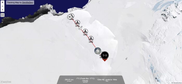
The James Webb Telescope — the super-sensitive, tennis-court-sized, space-based imager jointly managed by several international space agencies — continued to deliver gorgeous shots of the cosmos in 2024. From spiraling galaxies to never-before-seen phenomena to clearer glances at old Hubble favorites, the James Webb imagery is a treasure trove for anyone looking to inject a little awe into their lives.
Let's take a look at some James Webb highlights from this year.
Whirlpools and life among the stars
In late January, the James Webb collected this swirling image of spiral galaxy NGC 628. This galaxy in the constellation Pisces is 32 million light-years away. The blue, hazy regions represent densely packed older stars floating among gas and dust, while the galaxy's whirling outer filaments remind many observers of the nautilus-shell shape common here on Earth.

But the James Webb isn't just about making pretty pictures. The telescope's uniquely sensitive equipment is allowing scientists to get closer to finding life on other planets, as this ExplorersWeb story from January explains.
A closer look
The James Webb's biggest "wow" factor is how much more sensitive and clear its telescopic tools are than the Hubble. Take a look at the Webb image below from April, which allowed scientists to get a much closer look at starburst galaxy M82 than previously possible.
The Hubble first observed M82 in 2006, left image. When the James Webb turned its sharp eye at that area, right, scientists gained a much better understanding of the forces at work in the center of the galaxy.
Of particular note are the polycyclic aromatic hydrocarbons, visible as the red filaments in the Webb image. These particles are destroyed at higher temperatures, so when they are visible, they give researchers a window into the complex temperature differentials going on inside M82. It's a lovely image but also a very good example of just how much more fidelity Webb brings to the space imaging game.

Forecast: unusually high winds
Even a tool as sophisticated as the James Webb can't do it all on its own. For this illuminating image of the Crab Nebula, experts combined X-ray data from the Chandra X-ray Observatory with infrared data from the Webb. Here's the result:

The lovely and turbulent Crab Nebula is the result of a supernova witnessed by Chinese astronomers in 1054 AD. Some 6,500 light-years from Earth, the nebula is anchored by a super-dense neutron star that rotates 30 times per second. The result of all that energy is high-speed winds comprising matter and anti-matter particles that smash into the nebula's gasses, creating the "shock wave" effect visible in the image.
Cradle of stars
Nebulas are uniquely beautiful, but to the scientists who study them, they are about witnessing the birth of stars. This June photo of the Serpens Nebula gave scientists a glimpse at a long-speculated but never-observed phenomenon.
Take a look at those red clumpy smears in the top left corner. See how they are all slanted the same way? The streaks are jets of gas escaping from newborn stars, and they indicate that all those new stars are spinning in the same direction. Scientists have long thought that this is what happened when nearby stars were all born at the same time, but seeing it in action is an exciting first.

"These aligned, elongated structures are a historical record of the fundamental way that stars are born," Klaus Pontoppidan, principal investigator at the Jet Propulsion Laboratory (JPL), told NASA.
The Pillers of Creation revisited
One of the most famous space images of all time got an update over the summer when the James Webb Telescope and the Chandra X-ray Observatory joined forces once again for a second look at the Pillars of Creation. Hubble first made this iconic shot in 1995, but Webb's contributions bring the clarity to a whole new level.
The Pillars are a region of the Eagle Nebula, a famously beautiful star-forming region 6,500 light-years from Earth. Not much more to say about this one — just sit back and enjoy.
Overlapping galaxies, overlapping telescopes
We saved our favorite for last — an epically wide shot of two galaxies that have been slowly moving past each other for millions upon millions of years. The two galaxies, IC 2163 (small galaxy on the left) and NGC 2207 (larger galaxy on the right), might miss each other. Or they might collide. Scientists aren't sure which. In any case, NASA scientists released this image in October, pointing to the appearance of "spooky eyes" generated by the overlapping galaxies.

According to NASA, these galaxies are uniquely busy places. They can both generate two dozen Sun-sized stars per Earth year. By contrast, our own Milky Way galaxy only generates two or three in the same time frame.
This image was created by combining data from both Hubble and Webb, which proves that the older telescope still has its place in generating awe-inspiring, scientifically useful imagery.
You can find all of the James Webb Telescope images collected in 2024 on NASA's website.
Every exploration buff knows that made-up geography often appeared on ancient maps. The most famous example is that of Atlantis, a myth that originated with Plato and persisted on maps well into the European Renaissance. But as explorers increasingly sought out the world just over the horizon, they brought back tales — often second or third-hand — of other wild lands.
Mapmakers often plopped these tales into existing blank spaces, sometimes as a bit of artistic flourish and sometimes because they legitimately believed the stories.
A website called Map Myths has turned these mythical lands and geographical features into a surprisingly thorough interactive experience. And it's a must-visit. Users can click on the names of these mythical spots for capsule explanations of how they originated, how they were dispelled, and sometimes who went looking for them. Users can also view the historical maps where the myth in question appears.
Here are a few of the most interesting examples.
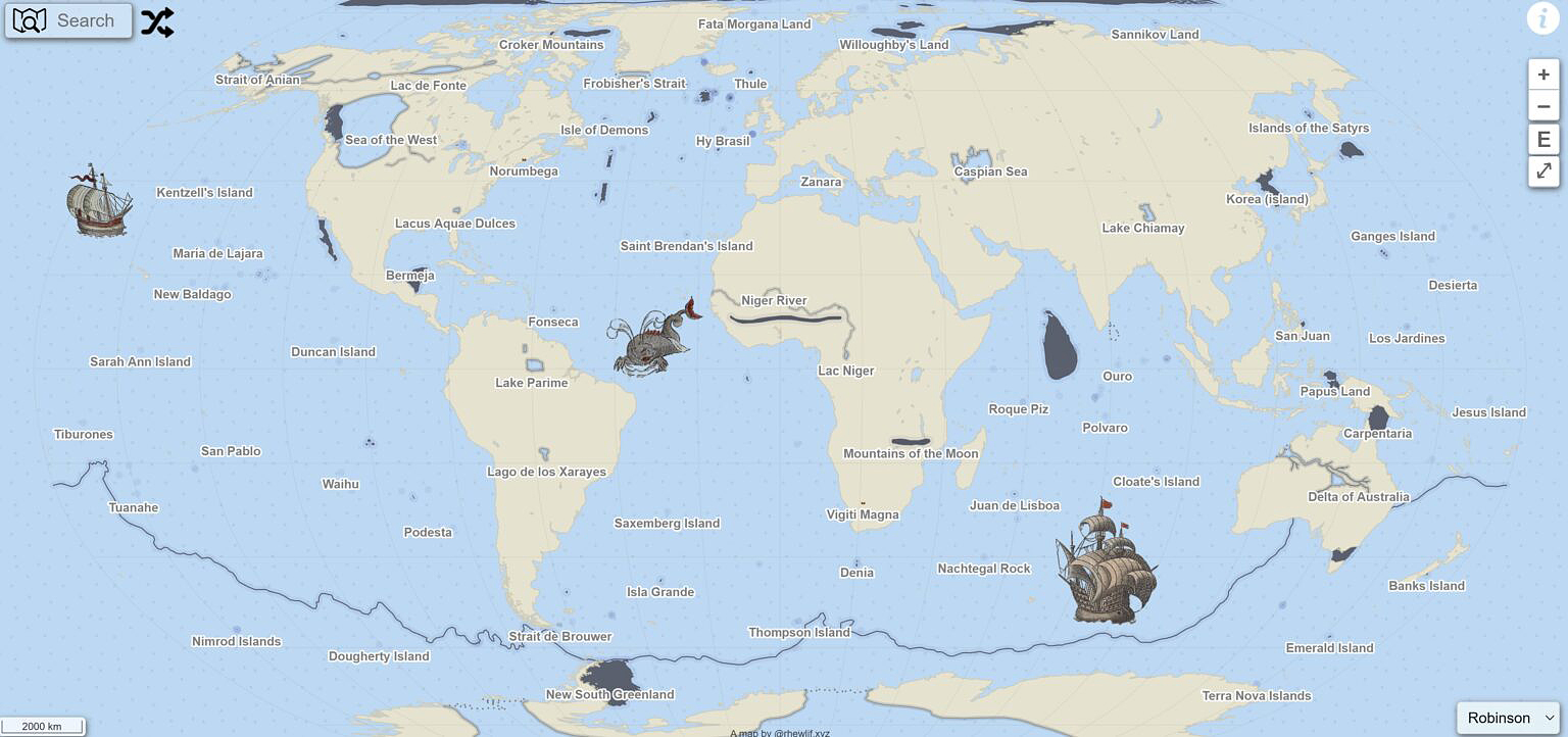
Wishful thinking
Sometimes, a geographical feature ends up in a mapmaker's visual lexicon through the sheer power of wishful thinking.
When 16th-century explorer Giovanni da Verrazano peered over modern-day North Carolina's Outer Banks islands, he laid eyes on Pamlico Sound. The sound is the largest lagoon on the United States' eastern coast, so when Verrazano couldn't see the other side of it, he optimistically assumed it was the Pacific Ocean.
This notion was dispelled quickly as more and more colonists and explorers charted the New World, but the idea of a great "Sea of the West" hung on long after Verranzano's day.
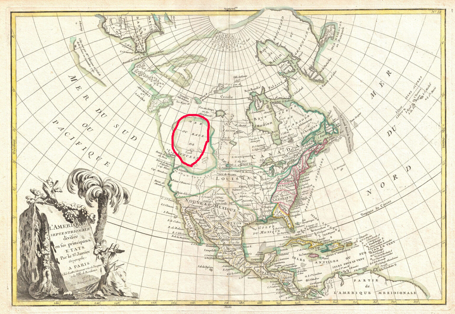
Partly, that's because a navigable, coast-to-coast water route through North America would pay huge economic dividends to whichever power discovered it. The idea was just too lucrative to let go. According to Map Myths, cartographers included the "Sea of the West" on more than 200 maps during the 18th century.
James Cook's exploration of the Pacific Northwestern coastline diminished the chances of the Sea being real. Lewis and Clark weren't expecting to find it during the Corps of Discovery's journey westward. But Thomas Jefferson — then President of the United States and the expedition's progenitor — would have been more than happy if they did.
Western Europe hopes against hope
The legend of Prestor John, a powerful and saintly Christian king living somewhere in the Far East, first arose in the mid-1100s AD. By the time European crusaders found themselves outmatched by Islamic military tactics in the Crusades, Prestor John was more than a fairy tale in the minds of many. He or his descendants were a much-hoped-for fighting force that could pressure Islamic armies from a second front.
As it turned out, such a fighting force did arrive to smash into the Islamic world, but it turned out to be the Mongols. Under Genghis Khan, the Mongols swept into Persia in the early 1200s, eventually sacking Baghdad. The unstoppable Mongols effectively ended the powerful Abbasid Caliphate, a turning point in human history if ever there was one.
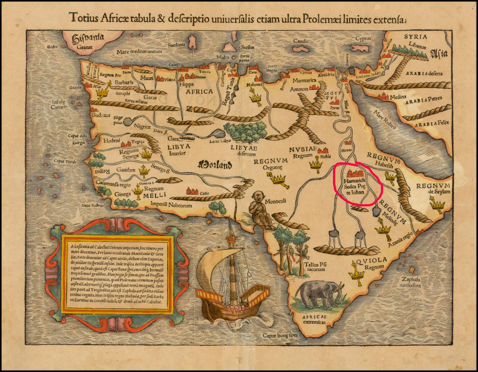
It eventually became apparent that Prestor John's legendary kingdom must lie elsewhere, so mapmakers began placing it around modern-day Ethiopia. Christianity in Ethiopia dates back to the fourth century AD, and the region was far enough removed from Western Europe to maintain a sense of mystery. It took another 200 years or so for Prestor John's imaginary kingdom to disappear from African maps.
But before it did, it inspired Europeans to explore Asia and Africa with religious zeal.
Demons and castaways
Almost every map created during the Age of Exploration was speckled with phantom islands.
It's hard to pinpoint the origins of many of these mythical islands — usually a blend of legends and sailors' tales filtered through time and many mouths. But in at least one case, we can look back at a true story to see the genesis of a phantom island.
In 1542, Jean-François de La Rocque de Roberval, a French nobleman and privateer, set out for New France (modern-day Quebec) to take up his post as the Lieutenant General of the colony. Accompanying him was Marguerite de La Rocque de Roberval, a young woman and relative of the freshly appointed colonial official. Marguerite took a lover on the voyage, and this behavior so scandalized the privateer that he marooned Marguerite, her servant, and her lover on an "island."
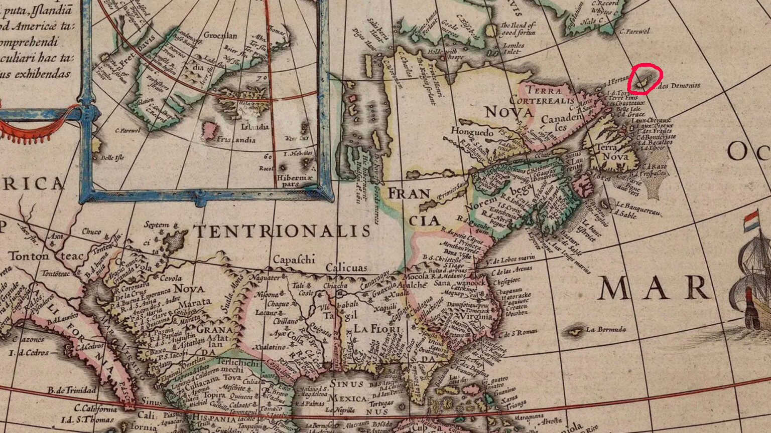
Eventually rescued
Marguerite later gave birth under these circumstances, but her baby, her lover, and the servant all died during the years they were marooned. Marguerite was eventually rescued by Basque fishermen.
Once she reached Europe again, Marguerite's tale became widely known. Mapmakers had already been including an "Isle of Demons" on maps of the Newfoundland coastline, noting it as a spot where all manner of hardships might befall unwary sailors. With the young women's tales of privations firmly lodged in the public imagination, the phantom island quickly became the setting for the marooning. In reality, it was most likely a region around Harrington Harbour, Quebec -- not an island at all.
Still, the Isle of Demons continued appearing on maps well into the mid-1700s.
You can easily — and happily — spend a whole afternoon exploring the mythical kingdoms, islands, and mountains inked onto the maps of yesteryear. Check out Map Myths here.
It seems like most adventures these days have charity fundraising goals, obscure records to break, or fastest-known-times to set. Joffrey Maluski, a photographer and filmmaker based in France, rejected all those notions when he began planning his snowy, windy bike trip across Iceland.
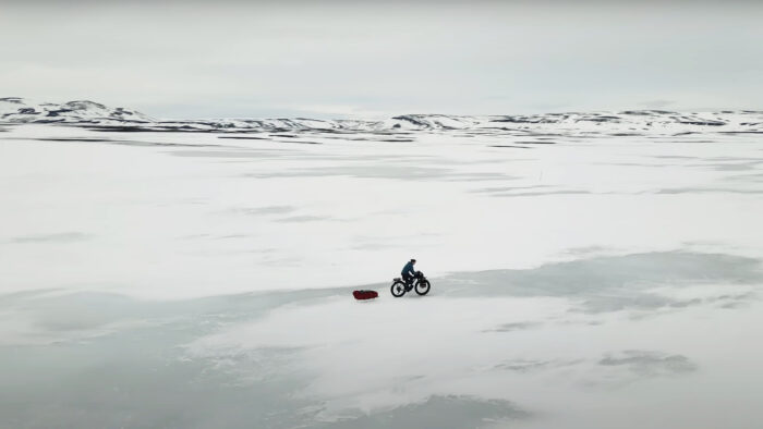
"I'm not here to set speed or distance records. I've come to seek adventure, the unexpected. The discovery with its ups and downs," he voices in the film he made about his experience, Bikepacking Iceland: A Winter Journey Through the Heart of the Highlands. "Its moments of hardship, and its moments of intense happiness. So, I accept this pace imposed by the elements. And I keep moving forward until nightfall."
Maluski was referring to a punishing day of travel in which he pushed his bike through snowdrifts far more than he rode it, occasionally making only one kilometer an hour. But as the saying goes among bikepackers of a certain mindset, "If you're pushing your bike, you're in the right place."
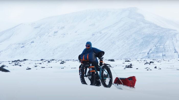
Winter bikepacking: not for the faint of heart
The filmmaker got the first germ of his trip — which took him from Iceland's easternmost point to its westernmost point in 28 days — after a summer bike tour of Iceland with friends in 2021. He returned again in the winter of 2023 with no agenda other than a solid route and an idea of recording his experiences via photography and film.
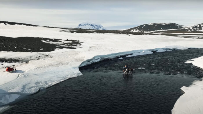
The resulting film showcases grueling winter bikepacking. At first, Maluski is able to move quickly across windblown ice, towing a pulk behind him. But as he enters day five of his adventure, the terrain becomes mixed ice and snow. Soon enough, he's strapping his sled onto his bike and manhandling the whole rig through waist-high drifts.
"I pedal a few meters, I push, I get back on the bike, and repeat," he narrates.
At times, he changes modes of travel completely, loading up his fatbike onto the pulk and manhauling one step at a time. Through it all, he remains unfailingly cheerful and in awe of the scenery around him.
Iceland through an expert's eye
And what scenery it is. Even a mediocre photographer could make the winter Icelandic landscape seem vast and imposing, but Maluski has an eye. His lens expertly captures the beauty of the terrain. Through his perspective, the landscape is stark, yes. But also surprisingly vibrant. A careful blend of traditional videography, action-cam shots, and drone footage showcases the textures and nuanced shades of the winter scenery to good effect. Although generic, upbeat production music choices occasionally hinder the film, the cinematography saves the day.
As Bikepacking Iceland progresses, it falls into a rhythm — pedaling, pushing, fording shallow rivers, then camping or holing up in the huts that dot the landscape. Glimpses of these huts, which are often positioned near hot springs, give viewers a strong impetus to plan an Icelandic bikepacking trip of their own. However, one exceptionally windy night might give them second thoughts.
Wind and snow
"My tent swells, flaps, and distorts under the relentless pressure of the wind. I consider every possible scenario, but I keep calm. I focus on what I can control, leaving the rest aside," Maluski says with typical stoicism.
He waits out the storm for 24 hours, then, restless, decides to keep pushing forward.
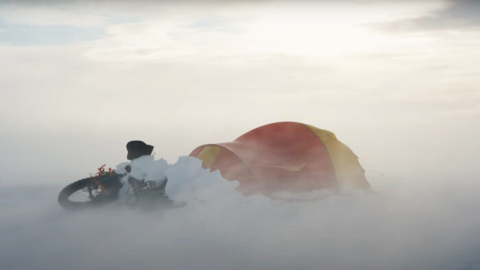
As he travels westward, the biking gets easier, and Maluski makes better time. As he nears the end of his 1,000km journey, he reflects on the mixed feelings of elation and sadness that accompany every long human-powered adventure. But mostly, for him, it's elation.
"Everything is moving faster now, the landscapes are passing by. I'm crossing numerous mountain passes, it's climbing, it's descending, headwind, tailwind, it's sunny, it's snowing, it's warm, it's cold, the fiords are always a mental battle. I'm tired but happy. Happy to live this adventure, to discover remote and magnificent places, to feel free and alive," he says, to the accompaniment of typically stunning landscape videography.
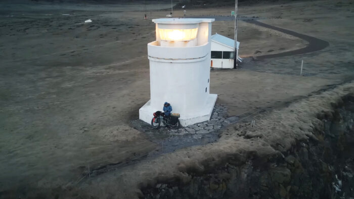
Bikepacking Iceland: A Winter Journey Through the Heart of the Highlands is a cozy winter watch that runs just over 18 minutes.
The juried winners of the 60th Wildlife Photographer of the Year contest were announced earlier this year, but the People's Choice Award contest is still in full swing. And you can help select the winner.
The contest's organizer, the Natural History Museum in London (NHM), selected 25 finalists for the award and posted the images on its website. Members of the public have until January 29 to make their choice. The museum will announce the winner and four runners-up on February 5. Head over to the NHM's website to cast your vote.
There's a limit of one vote per person, and votes cannot be changed — so choose carefully.
In the meantime, here are some of ExplorersWeb's favorites.
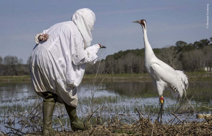
Biologist in disguise
Michael Forsberg captured this dynamic shot of science in action as a part of his ongoing effort to chronicle the lives of whooping cranes. The disguised biologist in this photo was attempting to get close enough to the crane to change the transmitter on its leg.
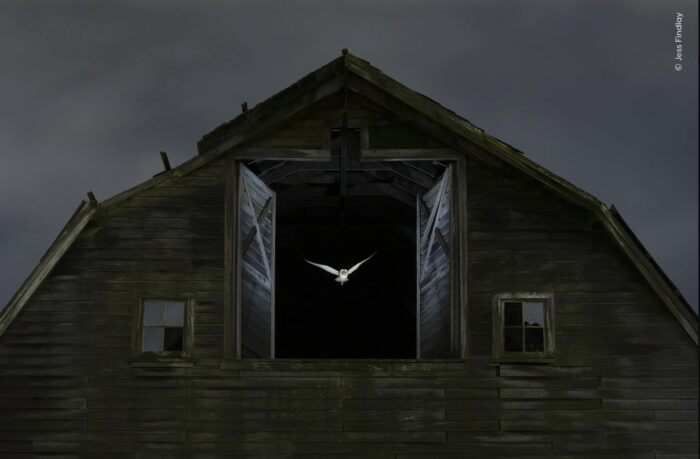
A barn owl leaves its perch at dusk. It took photographer Jess Findlay 10 nights and a motion-sensitive flash to capture this haunting and haunted image.
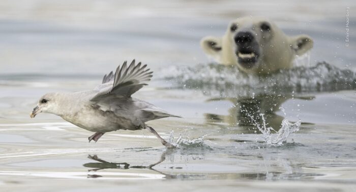
This photo is called "Sneak Attack" for obvious reasons. According to photographer Erlend Haarberg, the polar bear cub shown here was more interested in ambushing northern fulmars than it was in eating the walrus carcass its mother had found.

Minimalism is the name of the game with Michel d'Oultremont's simplistic image of a stoat in a snowstorm. The photographer has been photographing stoats for years, but this is the first time he has encountered one in his native Belgium. To get this shot, d'Oultremont took a page from the stoat's playbook and camouflaged himself in white.

Herpetologist and photographer Vincent Premel captured this Surinam golden-eyed tree frog mid-concert just as the first rains fell over French Guiana.
Irritated owl
Nobody does bemused or irritated quite like an owl. Photographer Bence Mate named this photo of a little owl (that's the species' common name) and a European roller "Annoying Neighbor." To get the shot, he spent 27 days in a blind, waiting for the right moment.
You can see all 25 of the photos in the running for the People's Choice Award on the Natural History Museum's website.
Most South Pole expeditions are well underway. Whiteout conditions and flat light are troubling almost everyone, but the skiers are remaining on pace. Meanwhile, a mountaineer has announced plans for a South Pole push.
Crossings
Ashkay Nanavati enjoyed a morale boost on November 28, logging his best daily distance of 18km despite low visibility and some sastrugi. That puts him 247km deep in his 2,736km unsupported solo crossing.
Although he's still pushing through relatively fresh snow, manhauling his monstrous 170kg sled, loaded with 110 days of supplies, has been easier this week than last. He's still climbing, but the elevation change has lessened. As of this writing, he just crossed the 80th parallel.
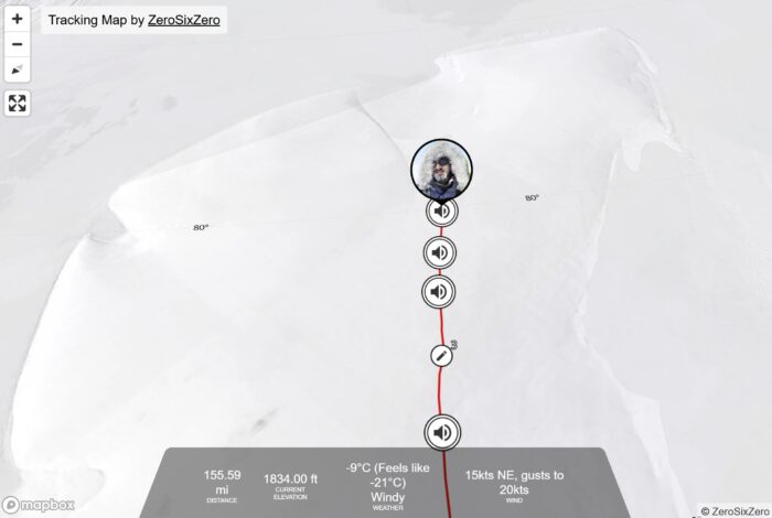
On November 26, Youngmi Kim reported problems with both of her compasses in the middle of a whiteout, noting that the difficulties made her feel "stuck." The South Korean seems plagued by equipment issues, including problems with her ski skins earlier in the journey.
She didn't mention compass issues again in later updates. That seems to be her pattern — she doesn't necessarily report when an equipment failure is solved, so it's hard to tell if she's still struggling with her compasses.
However, her GPS tracking indicates she's still on course and averaging about 18km per day. She's skied 409km out of the 1,700km slated for her unsupported solo crossing. She crossed 83˚S on November 26.
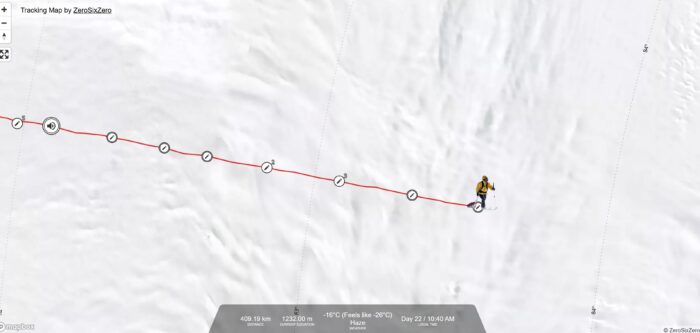
Hercules Inlet to the South Pole
Indian skier Satish Gogineni began his unsupported solo from Hercules Inlet to the Pole on Monday, reporting an "absolutely brutal" day. He covered 15km and gained approximately 500m vertical. His update from day three was more positive, noting beautiful weather and (slightly) easier manhauling of his 126kg sled. The Hercules Inlet to South Pole route is about 1,130km.
View this post on Instagram
Rasmus Kragh of Denmark reached the polar plateau yesterday on day six of his solo unsupported Hercules Inlet to South Pole expedition. So far, he's scratched off 95km, averaging nearly 16km per day with a 130kg sled.
Catherine Buford is also a week in and halfway between the 80th and 81st parallel. Like the other skiers on this route, she's faced soft snow and sastrugi in the last seven uphill days. She celebrated her 44th birthday with some birthday cake and an in-tent margarita. She's periodically reported flat light and whiteouts, making sastrugi difficult to see.
"Fell over twice," she noted in her day five audio recording. "But nothing dramatic. Got myself back up again and just carried on."
View this post on Instagram
A little over a week in, Karen Kyllesø is on track to cross the 81st parallel today. Her expedition is progressing smoothly. She's reported all the same conditions as the others, but her sled only weighs 100kg.
"Everything is going well with equipment, and [I'm feeling] strong and in good shape," she recorded on day six.
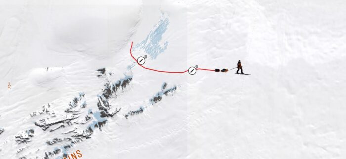
Speed record try?
Retired mountaineer Kristin Harila announced this week plans to make a solo unsupported South Pole journey. While details are scarce, in an Instagram post on November 22, she noted her journey will be 1,130km long. That indicates she'll do the Hercules Inlet route.
View this post on Instagram
Although Harila became known in 2023 for completing all 14 of the 8,000m peaks in a record 92 days, her background is in cross-country skiing. It is possible she will try to break the women's speed record from Hercules Inlet to the Pole, set last year by Preet Chandi.
Messner Start to South Pole
Travelers on the 911km Messner Start to South Pole route are also reporting whiteouts. Ali Riza Bilal is skiing hard and attempting to break a self-imposed 20km per day goal but has so far topped out at 19km per day. He passed the 83rd parallel yesterday and has logged 110km as of this writing.
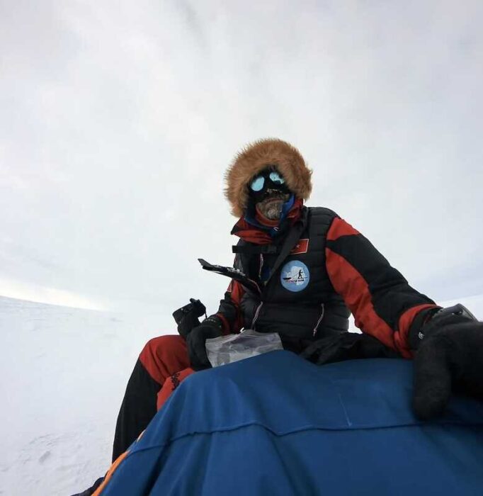
Bilal reported blisters on his feet and a stove malfunction earlier in the week. He's currently using his backup stove. He also reported issues with his ski poles (he did not provide details), and one of his two thermoses is somehow non-functional (again, no details). Near-constant whiteouts have made charging his devices difficult, so he's being fairly terse with his updates.
View this post on Instagram
John Huntington has skied 109km since beginning a week ago. "It still feels pretty tricky," he recorded on November 28. The skier suffered a brain bleed in 2014, which left him with neurological damage along his left side. That injury is making it difficult to navigate sastrugi.
"My left leg, which is the injured one, doesn't generate nearly enough force to get a knee and the pole moving over one of these little divots. So I have to be pretty careful that I'm positioned correctly to get myself up and over them," he reported in an audio update. The flat light he's encountered so far isn't helping.
But, he notes, he's happy with the distance he's covered in the last few days. He should finish the day's skiing roughly halfway between the 83 and 84th parallels.
Berkner Island to South Pole
Frederick Fennessy is 14 days and 291km into his 1,400km journey to the Pole from Berkner Island. That averages out to roughly 20km per day.
"It's been a hard couple of days. The sun has been out, so I've been getting up a little bit earlier to capitalize on the hard snow in the mornings. It's been good...pretty exhausted when I get back into the tent. The beautiful simplicity [of skiing] comes with a huge amount of intensity, I've found, and it's definitely taking some getting used to," Fennessy reported on his 13th night.

Ancient Greek historian Herodotus once called Egypt "the gift of the Nile." That's because Egypt's considerable wealth, power, and influence in the ancient world sprang directly from the great river. The Nile's predictable flooding allowed Egyptians to turn their arid homeland into the breadbasket of the region. And the easy-to-navigate Egyptian section made transporting raw materials for building far simpler than it would have been otherwise.
But where does the Nile begin? At 6,650km long, the Nile is the longest river on the planet. And though it empties into the heavily settled Mediterranean world, it rises deep in equatorial Africa, a region that has long presented difficulties to explorers who would plumb its depths.
Many of the most famous attempts to find the Nile's source occurred at the high points of Victorian exploration. But the question bedeviled explorers for hundreds — even thousands — of years.
It certainly caught the attention of Nero, a Roman emperor with a, shall we say, eventful reign stretching from 54 AD to his death in 68 AD. Nero's time in office went spectacularly off the rails after he arranged the murder of his overbearing mother Agrippina in 59 AD. But before that, he was known as a reformer, builder, and a respecter of Senatorial power. One of his initiatives? Sending some handpicked Roman soldiers up the Nile to ascertain its source.

Unclear motive
Nero's motivations for the expedition are unclear, but Egypt and Nubia represented the southern border of the Roman Empire. That particular border had been at peace for a while, and it's possible Nero wanted to take advantage of the lull in action to see what lay further south — probably to scope out any possible military threats. As historian Mary Beard points out in her excellent history of Rome, SPQR, ancient Roman Latin shared a single word to describe "traveling abroad" and "at war."
Whether or not the expedition found the source of the Nile is something historians have argued about for decades.
One major source for this story is Seneca the Younger, a philosopher, dramatist, and contemporary of Nero's. Seneca was also Nero's private tutor and, by many accounts, ran the Roman government at certain points during Nero's reign. Like many educated Romans of his day, Seneca was fascinated by Egypt and the Nile and mentions it several times in his writings. So it's likely that Seneca was heavily involved in the genesis of the expedition, if not entirely responsible for it.

The other source is Pliny the Elder, a military commander turned natural philosopher living and writing at about the same time, and also a man with access to the highest levels of the imperial court.

Small, mobile expedition
By the time Nero launched the expedition, Egypt had been in Roman hands for about a hundred years, and the Romans had enjoyed close trade relations with the Ptolemaic pharaohs who had previously run the country for several hundred years. Nero probably knew that a journey to the Nile's source would be difficult in the extreme, so he adapted an approach that would be familiar to the Royal Geographical Society a few millennia later.
Keep the expedition small. Choose a few good men capable of standing up under extreme conditions. Give them resources to recruit help along the way. And hope for the best.
Praetorian Guards head south
Nero chose two men close to him to lead the small expedition. Unfortunately, neither Seneca nor Pliny recorded their names, nor does history remember how many men they led on the journey. However, most scholars agree that the group was likely small for logistical reasons.
What we do know about the two men in charge of the undertaking is that they were centurions of the Praetorian Guard — the elite group of soldiers tasked with the personal protection of the Emperor. In addition to being skilled and hardened soldiers, the Praetorian Guard were heavily involved in imperial politics. They were also Nero's go-to guys for all kinds of sensitive tasks.
Tapping Praetorian Guards would have allowed Nero to select trusted men he knew well. These men would have also been empowered to negotiate on behalf of Nero with local leaders they encountered on their journey.

Lower vs Upper Nile
Pliny and Seneca don't record much about the expedition's early days — probably for the same reason that Victorian explorers didn't spill a lot of ink about early trip logistics in their own accounts. Egypt was firmly under Roman control, and the two centurions and their team would have had their travels aided by the various Roman outposts and garrisons that dotted the lower Nile's banks. (The Nile flows north, so the lower Nile is in the north, while the upper Nile lays to the south.)
Modern scholars assume that the expedition used the Nile from the cities near its Mediterranean delta all the way to the islands of Philae, in southern Egypt, near the border of modern-day Sudan. The islands housed an important shrine and were also a busy commercial trading post, so it would have been a crucial spot for the expedition to gather intelligence and potentially hire guides.

Following a brief overland section around a difficult-to-navigate section of the river, the men would have reboarded boats and continued south into the Kingdom of Kush, a Roman client state.
Through Kush and Beyond
Here, the accounts recorded by Pliny and Seneca are more detailed. As the expedition made its way through Kush, the landscape began to grow more verdant and grassy. The men recorded animals known to the Roman world (crocodiles, hippos) as well as primates that entered the record as half-human monsters.
By the time the expedition reached the Kushian capital of Meroë, the men had traveled further south than any other Roman or, indeed, European of any stripe. Shortly after departing Meroë, they reached the confluence of the White and Blue Niles and chose to continue up the White.
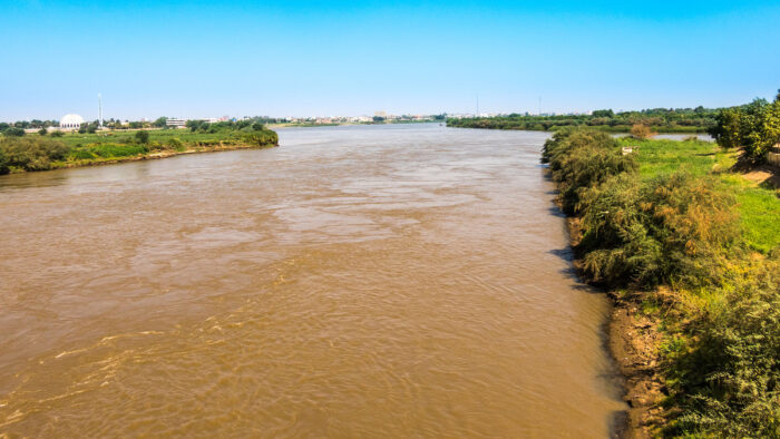
Here's where things get historically murky. As they journeyed ever upstream, the men noticed the river widening and the current slowing. Soon enough, they reached the Sudd, a 56,000 square kilometer wetland so imposing that future expeditions to the source of the Nile almost always chose to bypass it entirely by journeying overland from the west. Located in present-day South Sudan, the Sudd covers an area larger than modern England during the rainy season.
In 61 AD, utterly lost in the swamp, sick, and running out of food, the expedition turned around and returned to Rome.
Maybe.
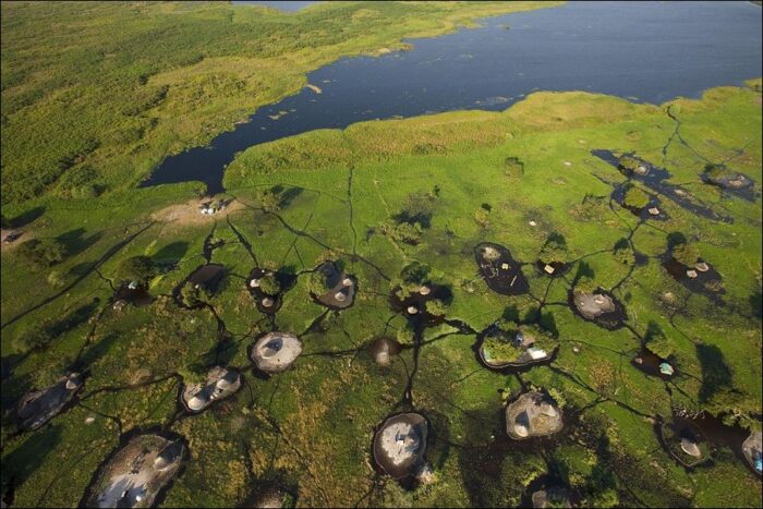
Murchison Falls description?
There's an interesting passage in Seneca's — and only Seneca's — account that a minority of historians believe could indicate the expedition made it a bit further.
"We saw two huge rocks, from which the power of the [Nile] river went out in a powerful way...[The Nile river] comes from a very huge lake of the [African] lands," the account reads.
That description sounds very much like Murchison Falls, a gorge between Lake Victoria (the source of the White Nile) and Lake Albert in today's Uganda. There's certainly nothing like it in the Sudd. Take a look:
Seneca's description is enough for a few historians (led by Giovanni Vantini) to believe the expedition may have at least reached the general area of the White Nile's source.
There are some issues with this idea, however. The falls are about 694km as the crow flies from the center of the Sudd, and there's no other indication in the records that the centurions ever exited that swamp except to return home. There is also no archaeological evidence from the Albert and Victoria region to support the presence of Romans. This, however, is to be expected — the expedition would have likely used trade goods obtained earlier in their journey.
Still, it's a tantalizing historical mystery, if one that is unlikely ever to be solved conclusively.
Nero's demise
Upon its return to Rome, the expedition was considered a huge success. But imperial politics barred another attempt on the Nile's source. Rebellion against Nero's increasingly unstable and unpopular reign broke out in 68 AD. Nero's loyal Praetorian Guard abandoned him. Unable to muster up the nerve for suicide, the fallen emperor enlisted his personal secretary to kill him. It was the end of the Julio-Claudian dynasty.
The next year would see the tumultuous reign of no less than four separate emperors, each more concerned with staying in power than mounting explorations. It would take another 2,000 years for Victorian-era explorers to finally settle the question of the White Nile's source once and for all.
When Lewis and Clark led the Corps of Discovery toward the Pacific from St. Louis, they were venturing into unknown territory with little idea of what they'd find over the next prairie horizon.
Right?
Not exactly. Buried safely in a bag was a book — an English translation of a French memoir that gave the Corps a solid idea of their route and many of the geographical features they'd have to navigate along the way. But where did this book come from? Had someone already traveled from the confluence of the Missouri and Mississippi, across the Rockies, down the Columbia, and back?
The answer is maybe. But if anyone did, it was no one of European descent. Rather, it was a Yazoo man named Moncacht-Apé — a multi-lingual wanderer blessed with relentless curiosity concerning the history of his people. That curiosity may have led Moncacht-Apé to dip his toes into the Pacific nearly a hundred years before Lewis and Clark reached those same waters.
Moncacht-Apé's story is intertwined with that of Antoine-Simon Le Page du Pratz, a French naturalist, ethnographer, and historian who lived in the Louisana Territory for 16 years. And without Le Page's own curiosity, the tale of Moncacht-Apé's journey across North America might have been lost to history.
A history of the Louisiana Territory
Le Page was a man in the classic early enlightenment mold. Born in 1695 and educated as an engineer and architect, he saw action with the French army against Germany in the War of Spanish Succession. At the age of 23, he picked up stakes and headed to the Louisiana Territory to seek his fortune. He eventually wound up in Natchez, on the banks of the Mississippi River, where he cultivated tobacco (or rather, his two slaves did). He swiftly learned the Natchez language and set about his hobby — cataloging the oral traditions of the Natives whose land comprised the Louisiana Territory.
Enter Moncacht-Apé
Sometime before the outbreak of the Natchez War in 1729, Le Page made the acquaintance of Moncacht-Apé, an elder of the neighboring Yazoo tribe. The local French called the man "Interpreter" because of his encyclopedic knowledge of languages. As it turned out, Moncacht-Apé's linguistic skill was hard-earned.
Le Page was interested in the history of people who called the region home, and Moncacht-Apé was introduced as the person most knowledgeable about the subject. This historical curiosity was a trait shared by the two men.
The Yazoo and neighboring tribes had oral traditions that indicated they'd migrated from the West. Some 30 to 40 years before he met Le Page, Moncacht-Apé set out to test the veracity of those tales on a long journey that — according to him — took him all the way to the Pacific, then back home. According to Le Page, Moncacht-Apé's name translates as "the killer of pain and fatigue."
The no-doubt-stunned Le Page recorded Moncacht-Apé's story in great detail and, unusual for the time, in the man's own words, with little editorializing.

"I begged him to repeat to me an account of his travels, omitting nothing," Le Page later wrote.
Seventeen years after immigrating back to France in 1734, Le Page published a sprawling volume called History of Louisiana. Moncacht-Apé's tale comprised three chapters of the manuscript, the longest Le Page spent on any subject in the book. It was a partial (and unfortunately, heavily abridged) translation of this work that accompanied the Corps of Discovery on its famous trek in 1804.
'Beautiful River'
In the original editions of Le Page's work, Moncacht-Apé began his journey by traveling up the Mississippi and then the Missouri until he reached the Kansas nation. There, linguist that he was, he learned the local tongue and gathered information about his next steps. The locals told him it would take another month to reach the headwaters of the Missouri, and from there, he should walk north until encountering a westward-flowing "Beautiful River."

Moncacht-Apé did just that, then traveled downstream until he encountered the Otter people. He paddled with the Otter for a while, learning their language, then continued solo for another 18 days until he reached an unnamed tribe living in a "grassy land with many dangerous snakes." He wintered with these people, then resumed his journey in the spring, eventually reaching the coastal tribes, whom he describes as living mostly on fish.
Notably absent from this account are the Rocky Mountains. It's one of the major holes in the story, and a chief feature that has led some historians to question the tale. Lewis and Clark also had no idea the Rockies were going to be a problem — Lewis had designed and packed a foldable boat for what he assumed would be a relatively short and easy portage from the Missouri to the Columbia.
A traveler joins a battle
On the shorelines of the Pacific, Moncacht-Apé encountered Natives who were in conflict with European loggers.
"I was told that these men were white; that they had long, black beards which fell upon their breasts; that they appeared short and thick, with large heads, which they covered with cloth; that they always wore their clothes, even in the hottest weather; that their coats fell to the middle of the legs, which as well as the feet were covered with red or yellow cloth. For the rest, they did not know what their clothing was made of because they had never been able to kill one, their arms making a great noise and a great flame," Moncacht-Apé relayed to Le Page.

But Moncacht-Apé was well-versed in the use of firearms, and he joined the conflict against the loggers, eventually turning the tide. According to Moncacht-Apé, he led a group of Natives in a surprise attack that killed 11 of the Europeans. Then he traveled along the coastline north, gathering tales along the way. One of the stories he collected seems to verify the land-bridge theory — the idea that the New World's Indigenous people originally immigrated across the once-dry Bering Strait in the distant past.
"One of [the elders I encountered] added that when young, he had known a very old man who had seen this land (before the ocean had eaten its way through), which went a long distance, and that at a time when the Great Waters were lower (at low tide), there appear in the water rocks which show where this land was," he recounted.
Moncacht-Apé eventually returned home safely and was an old man by the time he encountered Le Page. What happened to him after Le Page returned to France is unrecorded.
Historical veracity
Le Page is the only source historians have for Moncacht-Apé's tale, and they've been busily debating its veracity ever since Le Page first published his manuscript.
The absence of the Rockies in the tale is a major problem. And with only one source, there's no way to know if Le Page added to the tale or invented the entire thing (not to mention Moncacht-Apé) out of whole cloth. It's possible that Le Page could have pieced together the story based on information he obtained from a variety of sources. Adding credence to this side of the debate, later editions included a supplementary tale, which has Moncacht-Apé beginning his quest by first traveling up the Mississippi, east past Niagara Falls, and eventually reaching the Atlantic.
Why would he do this if he was following oral traditions that pointed him westward? And why didn't it appear in Le Page's first edition?
Spinning a yarn?
Le Page subscribed to the land-bridge theory before supposedly meeting Moncacht-Apé. It's certainly possible that the amateur ethnographer invented a handy tale to support preexisting ideas. It's also possible that Moncacht-Apé really did exist but was spinning a yarn for an eager audience. In this scenario, Moncacht-Apé would have been passing on details he gathered from other travelers.
On the other hand, Le Page's work is noteworthy for his habit of apparently transcribing the oral tales he collected verbatim instead of telling them in his own voice. This was unusual for the time. The maps he published along with his manuscript were more accurate than contemporaries compiled from second-hand knowledge, and many, if not all, of Moncacht-Apé's descriptions of the people and places he saw along the way eventually proved trustworthy.
Finally, historians must untangle the latent racism inherent in the age. It would have been difficult for Europeans to accept that Natives possessed the same spirit of exploration as themselves. But of course, we know better. As University of Oregon professor Gordon M. Sayre once put it, "I believe it is possible and even likely that some Native Americans did make such long journeys of exploration. Geographical curiosity is not confined to Europeans."
A believable account
Assuming Le Page didn't make up the story out of thin air, he seems to have believed Moncacht-Apé. And a passage from his book foreshadows the coming adventure that the Corps of Discovery would undertake fifty years after he published his work.
"I cannot persuade myself otherwise than that he went along the coast of the...Western Sea. The Beautiful River that he descended is a considerable river, that one should have no difficulty in finding, as soon as one should come to the sources of the Missouri," he wrote. "And I have no doubt that a similar expedition, if it were undertaken, could fully establish our ideas about this part of North America and the famous Western Sea, of which everyone in Louisiana is talking about and seems to desire so much to discover."
Some mountains are aesthetically pleasing. Some mountains are fiendishly difficult to climb. Some mountains are both. Jirishanca, a 6,000m peak in the Peruvian Andes, falls into this third category. That's why climbers like Josh Wharton and Vince Anderson keep trying to climb it. And that's why, until the pair's latest attempt, no one had been to the top in 20 years.
"Steep and intimidating. It's the epitome of a climber's mountain," Wharton says in the opening minutes of Jirishanca, Patagonia's new film about the duo's 2023 alpine-style attack on the mountain.
In Wharton's words, Jirishanca is a "legendary" objective that wasn't summited until the late 1950s and not all that often since. In 2019, Wharton and Anderson themselves turned back four pitches from the top.
The total package
Jirishanca is the total package, featuring 5.13 face climbing, chossy mixed climbing, ice roofs, a big limestone wall, and, as Anderson puts it, "funky snow-wallowing toward the summit."
The Peruvian peak has been a long-time goal of Wharton's, in particular. It's a rare case of man matching mountain. In one of the film's interviews, climber Tommy Caldwell describes Wharton as "one of the best all-around climbers in the world."
Other climbers call Wharton "the best climber you've never heard of." He's a unique personality in the modern climbing world. Quiet, stoic, a Luddite with a flip phone, social-media averse, avoidant of media, and chronically allergic to what he calls the "hyperbole in climbing and climbing films and climbing media."
Perhaps in deference to Wharton, the filmmakers behind Jirishanca keep the tone reserved, choosing long, dramatic drone shots over quick cuts and dramatic edits. They never sensationalize. The reality of climbing Jirishanca is sensational enough. The mountain's soaring limestone walls, overhanging ice roofs, and crumbling faces provide all the drama. No cinematic tricks necessary.
Risks and rewards
Between the climbing scenes, the filmmakers take the time to delve into Wharton and Anderson's personal lives. Both are family men, both had their share of close calls in their early climbing days, and both have backed off a bit from the precipice of disaster. This shared caution, combined with well-honed skills, makes them ideal climbing partners. It shines through in all their scenes together.
Not that Wharton is risk-averse. He just has a more nuanced take on the subject since becoming a father.
"Risk is a valuable thing in life because it leads us to growing as a person, and having all sorts of adventures and cool and interesting experiences. So I wouldn't want my daughter to live in a bubble. I wouldn't want her to try and avoid risk in her life. And so it's not something I want to totally let go of either," he says.
To the top
The climbing segments unfold over three days. A huge limestone face provides the first challenge, followed by ice climbing and a hair-raising choss. Jirishanca has always been a tough climb, but it's gotten harder in the last 20 years as climate change melts off the snow and ice. Wharton has noticed a change just in the few years since he's been tackling the mountain. Now, on pitches that used to be cemented together with frozen water, cow-sized chunks of rock peel off and go tumbling into the valley below.
In one particularly memorable scene, the two climbers bivouac under an ice roof, witness a gorgeous sunrise refracted by the frozen water, then begin their morning by ice-axing out from under the overhang and working their way upward. The camera slowly pulls back and back and back, until you can see they are only a few dozen meters from the top.
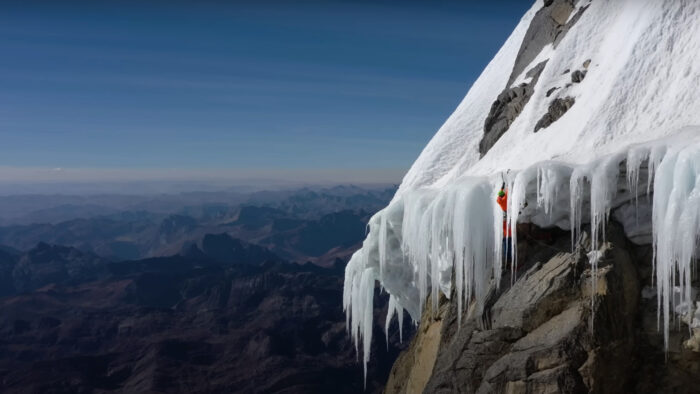
In true stoic fashion, Wharton's reaction upon reaching the summit is a relatively subdued "woo-hoo."
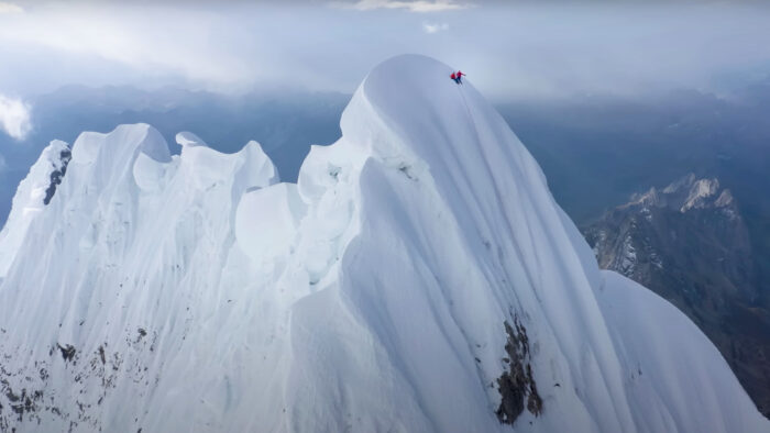
Gorgeously shot and edited with restraint, Jirishanca delivers a great ride without succumbing to the hyperbole that Wharton finds so distasteful.
Norway's history of polar exploration is storied. From Erik the Red's adventures in Greenland to Roald Amundsen beating Robert Falcon Scott to the bottom of the world to Liv Arnesen's historic trek to the South Pole, the Norwegians have it on lock.
Hoping to add his name to this list is Arne-Kristian Teigland. The Øystese, Norway native has plans this season to ski from Hercules Inlet to the South Pole. Teigland hopes to make his mark along this well-traveled path by snatching the year-old speed record from Frenchman Vincent Colliard's capable hands.
To do it, he'll have to travel 1,130km in under 22 days, 6 hours, and 8 minutes. That's 54km a day through winds, whiteouts, soft snow, sastrugi, and everything else Antarctica can throw at him.

Colliard set his record in January 2024, besting Norwegian Christian Eide’s impressive 2011 time of 24 days, 1 hour, and 13 minutes. Between 2011 and 2024, a few hopefuls gave it a shot, but no one came within striking distance.
According to Teigland's website, giving the record back to Norway is a matter of national pride. In his early 40s, Teigland has experience moving quickly with a sled in Antarctica. He's turned in impressive finishes in the Expedition Amundsen ski race in Hardangervidda, Norway.
Home-grown skills
One thing Teigland has going for him is his home training ground: Finse, a remote area of Norway known for its ski-friendly terrain and weather. Amundsen, Scott, and Ernest Shackleton all trained in the region.
A survey of Teigland's social media reveals the usual detailed Norwegian planning. He'll begin his attempt with a well-dialed itinerary and custom-made sled and gear, all the better to trim every possible gram from his expedition weight.
That's important because manhauling (pulling a weighted sled with human power as opposed to dogs or motorized vehicles) depends largely on sweet snow conditions. A few years ago, Eric Larsen tried to break Eide's original record but an unusual deep-snow year troubled everyone and made speed records out of the question. Cold also increases friction, which is why Colliard began in late December when warmer temperatures were on his side. The milder the snow, the better the sled glides, and the less it feels like a sack of potatoes.
The Norwegian should begin his expedition sometime in the next few weeks (ExplorersWeb currently has no information on an exact start date). You can follow along via live tracking here.
Youngmi Kim is pushing on with her solo unsupported crossing despite sleepless nights, nausea, and equipment problems. At least, the issues with her ski skin have abated.
Meanwhile, Frederick Fennessy is on day five of his Berkner Island to South Pole trek. Skiers on the Hercules Inlet and Messner Start routes will leave any day now, and an Irish runner broke the Antarctic marathon record by 15 minutes.
Crossings
So far, Ashkay Nanavati has covered 145km of his 2,736km solo unsupported crossing. He had a rough day on November 19, battling through whiteout conditions. The new snow made the day his hardest yet.
Nanavati took a shorter, easier day on the 20th to recover, although the fresh snow remained taxing. He's thinking strategically: With most of Antarctica still in front of him, he's proceeding cautiously and listening to his body.
"A journey like this is not just grinding it out and brute forcing it every day," he noted. "Of course, there is that too, but it is kind of like a game of chess with a lot of strategy involved."
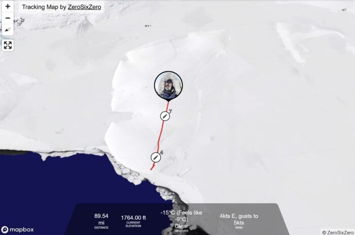
South Korean Youngmi Kim's solo unsupported crossing is in its 14th day. She's currently completed 230km out of 1,700km. In our last update, we noted that Youngmi Kim seemed to be struggling with the climbing skin (used for traction while hauling a sled) on her left ski. On day three, she was still battling its non-stickiness and trying to warm it up in her armpit, although skin glue isn't really affected by temperature.
However, this was the last time she mentioned the difficulty, so it appears that she's found a solution.
Youngmi Kim has also struggled with whiteouts during the day, and the noise of the wind has kept her up at night. On day eight, she vomited before breakfast but only lost the water she drank that morning, not the previous night's dinner. Finally, she had trouble getting her solar charger to function properly. But it seems she's overcome that, too. Her status updates, when not detailing equipment problems, lean toward the poetic.
The latest reads, "The sun has risen. The shadow has returned. The shadow becomes the compass of the sundial. The time that passes by stepping on my shadow makes me feel at ease."
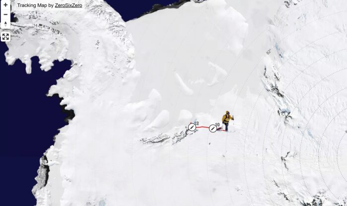
Hercules Inlet to the South Pole
Since our last update, two more skiers have joined the roster on the 1,130km Hercules Inlet to South Pole route.
Satish Gogineni of India will go solo and unsupported. He is currently en route to Union Glacier.
Rasmus Kragh of Denmark should also start his Poleward journey shortly. The athlete and personal coach arrived in Antarctica on November 19, according to his GPS tracker.
The two women attempting solo unsupported treks from Hercules Inlet (Catherine Buford and Karen Kyllesø) have arrived in Antarctica. In an Instagram post today, Buford noted that she's flying to Hercules Inlet that afternoon to begin her expedition.
Arne-Kristian Teigland, who will also be on the route, is still in the prepping phase.
Messner Start to South Pole
Ali Riza Bilal is at Union Glacier Camp and should fly out to the Messner Start either today or tomorrow. John Huntington should also be underway soon. The Messner route to the South Pole is about 911km.
Berkner Island to South Pole
Frederick Fennessy's solo unsupported Berkner-to-South-Pole expedition is in its fifth day. As recorded in his most recent update, the skier has completed 75km of his 1,400km route, traveling mostly uphill and through occasional patches of deep snow.
"Been lucky with the weather. Slight breeze, -15 [degrees Celsius] hitting my left side most days. And visibility's been pretty okay as well. No whiteout. Definitely a flat light, just enough to make out the horizon in the distance. It's been a lot warmer than I anticipated...but I'm sure the cooler temperatures will come in the next few weeks or so," he said.
Fennessy expects the terrain to flatten out soon.
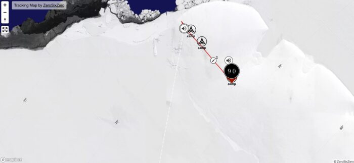
Constellation Inlet to Mount Vinson
James McAlloon and Robert Smith's skiing/mountaineering expedition from Constellation Inlet to the summit of Mount Vision is still in preparation.
In a message to ExplorersWeb, McAlloon (an Australian) shared that he's excited to be part of only the second team to undertake such a project. He also expressed a little national pride that the other team that did it (in 2007) was also led by an Australian (Duncan Chessell).
McAlloon and Smith will ski 300km to the base of Mount Vinson in 20 days, then spend up to 10 days on the mountain itself.
Irish runner breaks Antarctic marathon record
William Maunsell ran 42km in 2:38:42 last week, notching the fastest-ever marathon time on the continent. He broke the existing record held by his coach, Sean Tobin, by nearly 15 minutes.
Maunsell set the record as part of the Great World Race — seven marathons on seven continents in seven days. Fifty-four competitors from 15 countries participated this year.
"It was a bit tough at the start for about 2K, but there's a big back section that's slightly downhill. The wind was behind you, and you can really make time on that part," the runner told Reuters.
Seeing is believing, but what about hearing?
Since the 1970s, a small percentage of people all over the world have detected a mysterious sound just on the edge of their auditory range. Some folks describe it as a rumble, others like a car idling, still others like a pump operating in the far distance.
To the roughly 2% of the population who can hear it, The Hum (as it's come to be known) is maddening. Not only does it have all the persistent annoyance of tinnitus, but people seeking relief from it often come up against disbelief on the part of the medical professionals they reach out to.
The Hum has been reported in the U.S., Australia, Canada, Germany, and Northern Ireland. The bulk of these mystery sounds were eventually explained away, thanks to the presence of nearby industrial facilities. But in the small town of Taos, New Mexico, The Hum still defies solid explanation.
The Taos Hum started getting media attention in the early 1990s when residents began to report about their auditory experiences there. Residents of New Mexico are used to living in relatively close proximity to government research facilities, so it's no surprise they wanted to make sure they weren't being exposed to anything dangerous. Eventually, they raised enough of a stink that the New Mexico state government took notice and tapped a group of researchers to investigate.
An investigation comes up dry
The team, led by Professor Joe Mullins, comprised a dozen scientists from Los Alamos National Laboratory, Phillips Air Force Laboratory, the Sandia National Laboratories, and New Mexico's Health Sciences Center, among others.
The results were inconclusive, to say the least. The scientists set up highly sensitive microphones in areas where "hearers" claimed to have detected The Hum, but their instruments failed to record anything substantial. Mullins and his team also conducted extensive surveys of the Taos population, and played sample tones to hearers in an attempt to identify the frequency range they were experiencing.

Characteristics of The Hum
Hearers of the Hum were evenly split between men and women, and middle-aged people were more likely to hear it than anyone else.
Sometimes The Hum was localized, meaning hearers were able to move away from it. Other times, hearers reported that no matter where they went in Taos and the surrounding area, The Hum followed. Most people reported hearing the Hum between 8 and 9 pm, and 80% of hearers perceived the sound at least once a week. One thing everyone had in common was matching The Hum to extremely low frequencies played by the scientists.
Tinnitus affects somewhere between 10 to 14% of the world population, so the easiest explanation is that once the story of the Taos Hum spread through the town, a fraction of tinnitus sufferers began attributing their condition to sources outside their inner ears.
But as Mullins later wrote in an article for The Acoustical Society, the experience of hearers doesn't quite match those experiencing tinnitus.
"One problem with such an explanation is that tinnitus itself is not well understood," Mullins stated, before going on to explain that tinnitus is a high-frequency experience, while The Hum hovers down in the extreme low-end of the frequency range.
"Furthermore, many hearers insist they can hear beats between their perceived tone and the objective tone generated in matching experiments. Beats have not been demonstrated reliably in matching experiments using subjects with tinnitus," he continued. In other words, The Hum fluctuates, while tinnitus is consistent.
A possible explanation
In the absence of any nearby heavy industry that could explain the phenomenon, and with multiple generations of auditory specialists unable to record it, it would be easy to write The Hum off as a very specific example of New Mexican New Age woo, just another group of UFO-spotting, crystal-gazing, conspiracy-mongering desert dwellers with too much time on their hands.
But the fact remains that similar experiences have been reported all over the globe, and not all of them are easy to explain. The answer, according to Dr. David Baguley, head of audiology at Addenbrooke's Hospital in Cambridge, might be a complex three-part blend of evolutionary adaptation, physiology, and psychology.
Evolution, Baguely explained to the BBC, has given many animals, including us, the ability to sharpen our hearing, particularly when stressed or excited.
"If you're sitting by a table waiting for exam results and the phone rings, you jump out of your skin. Waiting for a teenager to come home from a party — the key in the door sounds really loud. Your internal gain is sensitized," he said.
And some people, Baguely went on, are uniquely sensitive to sounds in certain ranges. Sounds so subtle that even microphones can't easily pick them up.
Vicious cycle
Finally, it's easy for a stressed-out brain to hyper-fixate on sensations.
"It becomes a vicious cycle," Baguely said. "The more people focus on the noise, the more anxious and fearful they get, the more the body responds by amplifying the sound, and that causes even more upset and distress."
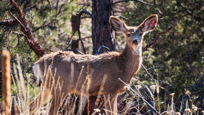
This last part explains why hearers of the Taos Hum can't seem to shake it once they perceive it for the first time. Like probing a loose tooth with a tongue, they can't help but turn their internal gain all the way up once they detect it initially.
In any case, Baguely believes that at least some hearers in Taos and elsewhere are legitimately hearing something. The cause of The Hum likely varies from place to place, and the Taos Hum, in particular, remains, for now, unexplained.
The Bloop
But what about a mystery sound that was indeed captured by scientific instruments? Such is the case with The Bloop.
In 1997, a hydrophone array belonging to the U.S. government detected an ultra-low frequency sound originating from somewhere in the South Pacific Ocean. Give it a listen.
Now you understand why they call it "The Bloop," right?
For almost a decade, scientists believed The Bloop was either an unusual sound emitted by a known marine species or a typical sound emitted by a heretofore unknown animal. The ocean, after all, is a very big, very unexplored place. The usual conspiracy theories about secret Russian subs and aliens also circulated on the still-young internet.
But as the years rolled on, scientists from the Pacific Marine Environmental Laboratory (PMEL) continued to place hydrophone arrays closer and closer to Antarctica. Their goal was to study undersea volcanoes, but in 2005, they caught The Bloop again — this time with enough instruments in place to triangulate an exact source.
The Bloop, as much as it presents as an organic sound, was in reality generated by ice cracking in an Antarctic glacier, causing an "icequake." It's not nearly as romantic as an undiscovered marine species, but still — science is cool.
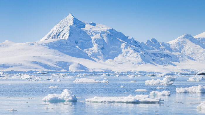
Other mystery sounds
In fact, glaciers, icebergs, and their movements have been attributed to a host of mysterious underwater sounds, with names like Julia, The Slow Down, and The Train. Here's The Train, recorded by the National Oceanic and Atmospheric Administration (NOAA) in 1997.
According to NOAA, The Train "was most likely generated by a very large iceberg grounded in the Ross Sea, near Cape Adare. The sound is generated as the iceberg is slowly moving and dragging its keel on the seafloor."
So far, every mystery sound we've discussed has been low-frequency, but there's a final example from Canada's extreme north that lives on the other end of the spectrum.
"The Ping" cropped up in Nunavut's Fury and Hecla Strait in the summer of 2016. Lying off northwestern Baffin Island, the strait is often ice-choked and hard for ships to get through. Local ocean-going hunters in the area were able to detect this Ping through the hulls of their boats, and provincial officials recorded a noticeable drop in wildlife activity in the area over the summer.
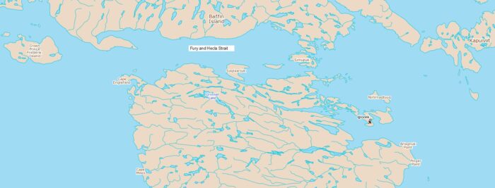
Baffinland Iron Mines Corporation and Greenpeace conservation activity in the area were blamed. Both organizations and the Canadian government denied responsibility. Like The Hum, no one ever managed to record it.
A spokesperson for the Canadian Department of National Defense later told CBC that "Canadian Armed Forces are taking the appropriate steps to actively investigate the situation."
Eventually, The Ping vanished, and its source is still a mystery.
“Men wanted: for hazardous journey. Small wages, bitter cold, long months of complete darkness, constant danger, safe return doubtful. Honor and recognition in case of success.”
Yes, that's the famous (and probably apocryphal) newspaper ad that polar explorer Ernest Shackleton supposedly placed in advance of his fateful Imperial Trans-Antarctic Expedition. But it could just as well describe the next few months of your life, should you decide to put LEGO's upcoming reproduction of Shackleton's famous ship on your Christmas list.
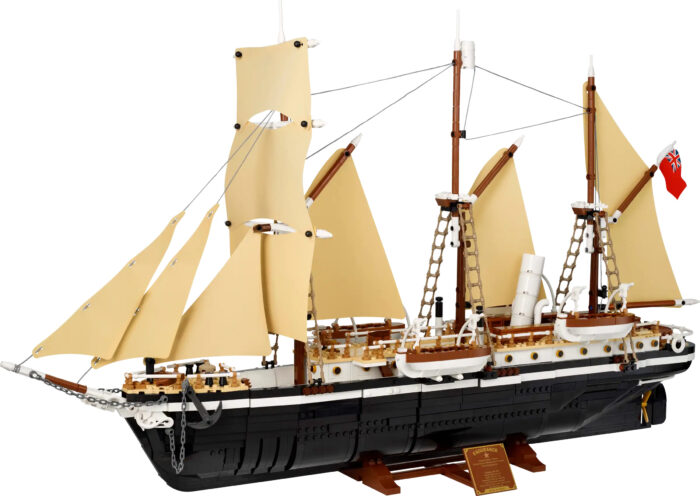
The 3011-piece LEGO model of Endurance will set you back 270€ ($285) and is created for LEGO heads 18 and up.
The set includes a LEGO stand, so the ship doesn't list to one side, but our recommendation is to freeze your Endurance in a block of ice for maximum historical authenticity.
You'll have to raid your kid's bucket of LEGO cowboys, astronauts, and knights to crew the ship. Heroic Age of Polar Exploration sailors not included. Nor is, unfortunately, Endurance's ill-fated ship's cat, Mrs. Chippy.

Lifeboat bonus
However, LEGO is throwing in a bonus to sweeten your hefty buy. A "Shackleton's Lifeboat" set, which will be sold separately in the future, is included with the LEGO Endurance for a limited time. This bonus set comes with The Boss himself, bescarfed and wearing a determined expression, as well as a strangely cheerful Frank Hurley. A camera, tripod, sextant, shovel, oars, and other accessories are also included with the lifeboat.
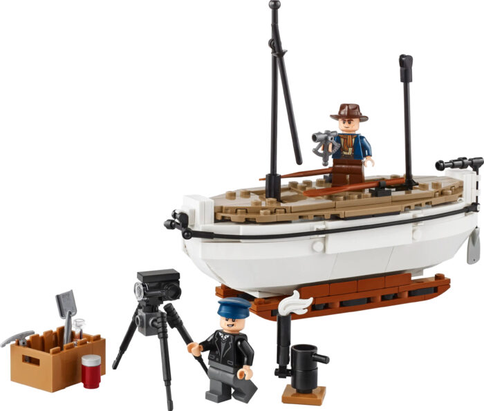
The LEGO Endurance will be available for purchase on LEGO's website on November 29.
The set comes out at a moment of increased interest in the Imperial Trans-Antarctic Expedition (although, let's be honest, for some of us, Shackleton and Endurance live rent-free in our heads all the time.) The wreck of Endurance was discovered in astonishingly good condition in March 2022. Earlier this month, a documentary directed by Chai Vasarhelyi, Jimmy Chin, and Natalie Hewit dropped on streaming services.
The cost of human life is a thread that runs throughout the entirety of the award-winning film 109° Below. Fresh from a Best Adventure win at the 2024 Banff Mountain Film Festival, the 14-minute documentary takes viewers back in time to 1982, when an elite group of rescue climbers struggled to save two young men who became lost on New Hampshire's Mount Washington.
Washington's claim to fame is "the worst weather in the world" — earned thanks to record wind speeds, icy temperatures, and violent winter storms. In fact, the film is called 109° Below because that's the temperature (in Fahrenheit) that the wind-chill factor reached while the crew was filming on Mount Washington.
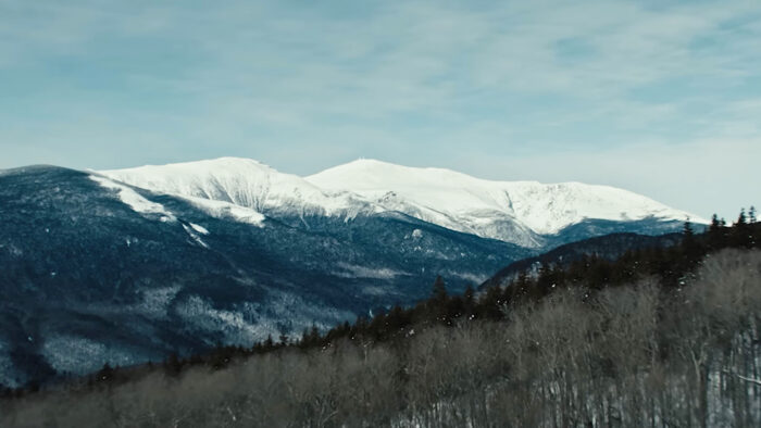
A serious problem
"When the weather is bad, all you have to do is lose your mitten, and you've got a serious problem," Paul Cormier, a member of New Hampshire's Mountain Rescue Service, says in one of the film's interviews.
But in 1982, 17-year-old Hugh Herr and his partner Jeff Batzer did much more than lose their mittens. Although experienced for their age, the two young men made a fateful decision — to press toward Washington's summit in the face of an oncoming storm.
Reaching a ridgeline, the pair decided to walk three more minutes closer to their goal before descending. Those three minutes proved disastrous, as visibility dropped precipitously. Herr screamed at Batzer, "Let's get the hell out of here," and began their descent.
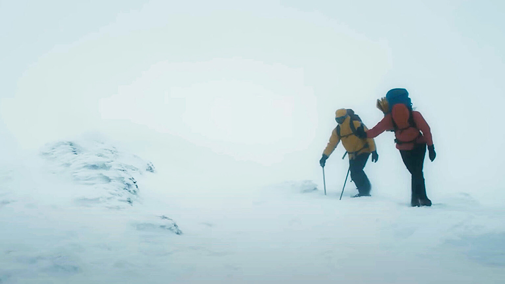
Frostbitten and hypothermic
By the time they realized they'd taken the wrong line down a steep slope, they had neither the energy nor the time to retrace their steps. They kept descending and were quickly lost. They continued bushwhacking until two or three in the morning, then finally halted, frostbitten and hypothermic.
Meanwhile, the climbers had been reported missing, and a 10-person crew of volunteer Mountain Rescue Service members set out to find them. And then tragedy struck. While conducting the search, two of the rescuers were caught in an avalanche. One survived, but Albert Dow broke his neck in the crush of snow and debris. It was a stunning blow to the close-knit rescue community, which still had a duty to the missing climbers.
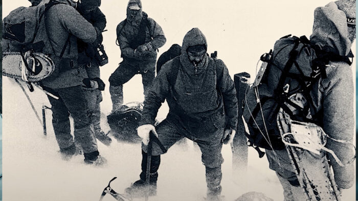
"I hated the people we were searching for. But I realized I hated this young man because my friend was dead," Joe Letini, a member of that 1982 rescue team, says in the film. "But Hugh was 17. Sometimes, you just push that little too far. And you don't know what's too far. You're learning. Hopefully, you learn from it."
To learn from the experience, the two climbers had to survive it. And they almost didn't. As the fourth day of their ordeal dawned, they began to lose hope.
"Most people believed that we were dead...we gave up all attempts to survive," Herr says.
Accidental salvation
But in a moment of serendipity, a group of snowshoers found their tracks in the fresh snow and followed the trail to a cave where Herr and Batzer were fading fast.
Transported to a hospital, both of Herr's legs were amputated below the knee. Batzer's lower left leg, all the toes on his right foot, and the thumb and fingers on his right hand were amputated.

But the worst part for Herr? Learning the true human cost of his rescue.
"To me, that was the lowest point of my entire life. Hearing that a fellow climber had died while searching for Jeff and I," he says.
109° Below is fast-paced, dramatic, and well-shot. It uses expertly constructed reenactment footage, gorgeous landscape videography, and interviews in a combination familiar to fans of Touching the Void. But where the film truly shines is in its final moments, when it examines the aftermath of the rescue attempt and finds some redemption for its primary subject.
A hard lesson learned
"Albert Dow's death was very profound for me. It transitioned from shock into rage at myself for making bad decisions in the mountains and really putting others at risk. That rage drove me ironically to climbing again, with artificial limbs. I was going to use every cell in my body to do something positive with my life," Herr shares.
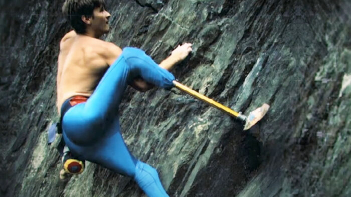
Herr didn't just climb with prosthetics; he designed them himself. He's now a professor at MIT and a world-recognized leader in the prosthetics field.
"If I pitied myself and didn't apply my mind and body to something good for society, I thought that would be an absolute disgrace to Albert's sacrifice," he concludes.
Most of this year's expeditions are still waiting to embark, but the two solo, unsupported crossings are in progress. And one of the skiers is already having equipment difficulty.
Crossings
Ashkay Nanavati began his unsupported solo crossing from Berkner Island and has traveled 64km as of this writing. Nanavati had a short first day as he traveled to the coastline from his landing site to formally begin his expedition.
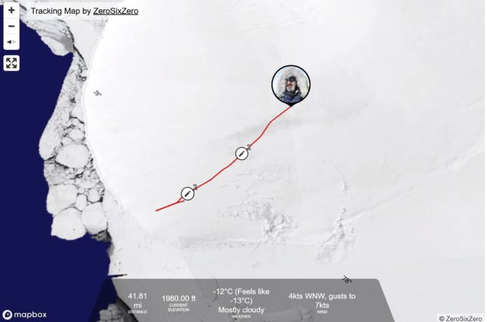
Day two was steep and windy, and the skier only covered about five kilometers. But a productive day three (14km and 300m of elevation gain) had Nanavati in better spirits.
"[Kilometers] aren't important right now; we're still very, very early in the game," the skier reminded himself in a voice message. "Today is now done. It's about the next one."
As he begins day four, Nanavati is in good health, other than a sleepless night and some sore muscles.
View this post on Instagram
Youngmi Kim's crossing, which began at Hercules Inlet, is also proceeding.
The South Korean has covered 101km in seven days so far. Her text logs are in South Korean, but translations reveal she might be struggling with one of the skins on her skis. On day three, she mentioned that it fell off four times. On day five, she wrote, "Removing the left skin of the ski. I couldn't delay, so I just walked."
Skin glue typically adheres well, even in deep cold, unless it's so old that it's dried out. Sloshing through slush or wet ice on the Arctic Ocean prompted past North Pole skiers to screw their skins to their skis before starting their expedition, but wet conditions should not be an issue here. She will need to find a solution quickly.
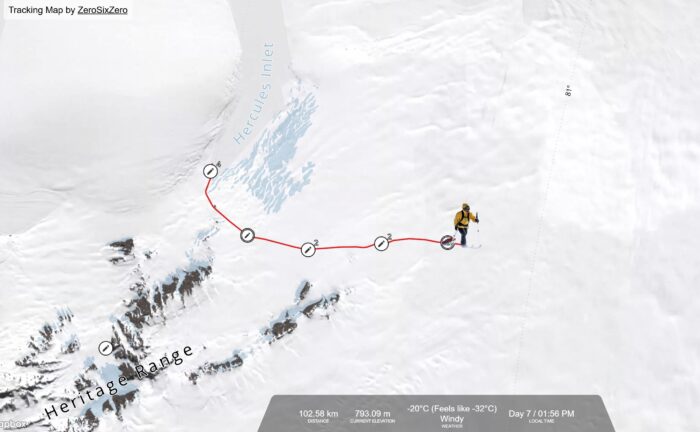
Hercules Inlet to the South Pole
The two women attempting solo runs on the Hercules Inlet-South Pole route (Catherine Buford and Karen Kyllesø) still await their departure dates.
Arne-Kristian Teigland has joined the ALE roster since last week's update. The Norwegian will also solo Hercules Inlet-South Pole.
Messner Start to South Pole
Ali Riza Bilal and John Huntington's Messner Start to South Pole expeditions should begin in the next week.
The ALE-guided group of clients Julian Evans (UK), Emil Neszmelyi (Hungary), David Pierce Jones (Switzerland), and Montague Pierce Jones (UK) begins on November 18. ALE guide Morten Rostille (Norway) will accompany the group.
Berkner Island to South Pole
Frederick Fennessy's Shackleton-inspired, solo, unsupported Berkner-to-South-Pole expedition should get rolling any day now, according to his tracker.
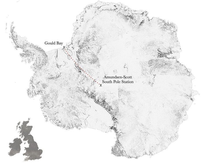
Constellation Inlet to Mount Vinson
James McAlloon and Robert Smith's combination skiing/mountaineering expedition from Constellation Inlet to Mount Vision is still a month away. McAlloon spent yesterday manhauling tires in preparation.
In 1861, in present-day South Sudan, Victorian explorer and naturalist Samuel Baker found himself in a bit of a pickle. He was in the middle of an expedition up the Nile and deep in dispute with his porters. Baker was a bristly bearded big game hunter somewhat known for his inflexibility, and his porters were exhausted and frustrated.
For any other explorer of the age, it might have meant the end of the journey. But into the breach stepped a 20-year-old woman — Baker's camel-riding, pistol-packing, multilingual wife, Florence.

Even at that tender age, Florence's life was already packed with adventure and loss. She was no stranger to hardship and compromise. She deftly negotiated an agreement between Baker and his men, and the expedition ultimately concluded successfully with the European discovery of Lake Albert (Lake Mwitanzige).
Many of the Victorian adventurers discussed in the Great Explorers column came from relatively privileged backgrounds and only faced their true tests when they arrived at the far-flung locations they meant to explore. Not so with Florence Baker, also known variously as Florence Barbara Marie Finnian, Florica Maria Sas, Maria Freiin von Sas, or Barbara Maria Szász.
A person doesn't get that many names sitting in a London parlor.
Orphaned and enslaved
Much of Florence Baker's early life is shrouded by incomplete records and conflicting accounts. But the broad strokes of the story — passed down through her family line and mostly corroborated by contemporary sources — are as follows.
Florence Baker was born in the Kingdom of Hungary, in modern-day Romania. She was orphaned in 1848 when marauders associated with the revolutionary Ioan Axente Sever murdered her parents and brother. Here, the seven-year-old girl passes from the historical record and re-emerges as an 18-year-old for sale in the slave market of Vidin, a fortified town on the River Danube.
Meanwhile, 38-year-old Samuel Baker and his friend Maharaja Duleep Singh were looking for a bit of entertainment in the middle of a year-long hunting trip across Central Europe. The two ended up in the Vindin slave market, where Baker promptly entered a bidding war for Florence with the Pasha of Vidin. The Pasha won the auction, but Baker bribed the market guards and promptly escaped with Florence in tow.

It's unclear at what point in the years that followed the two became romantically entangled. It likely didn't take long, just one of many details of Florence's early life that are problematic to modern readers. Indeed, the whole story later struck a luminary of Victorian society as distasteful, leading to problems for the pair further down the road.
By all accounts, the relationship (and later marriage) was consensual, even passionate by Victorian standards. Florence went on to accompany Baker on his travels as his career transitioned from military man, engineer, and hunter to explorer and author.
Africa and the Nile
In 1861, Samuel and Florence began an expedition up the White Nile to discover its source — long a Holy Grail of Victorian exploration. The gifted Florence already spoke Hungarian, German, Romanian, and Turkish when the pair met and picked up Arabic en route to Africa. Somewhere along the way, she learned to shoot (probably from Samuel), was a skilled camel rider, and boasted a forceful personality in a male-driven society.
It was in the early days of this journey that Florence neutralized Samuel's porter problem. If anyone in the group harbored doubts about her value on the expedition after that, those doubts were assuaged when Florence proved herself a capable medic in the face of Africa's many diseases.
Unfortunately for Samuel, another pair of explorers with a head start had already made the sought-after discovery.

Too late for the Nile
Samuel and Florence encountered John Speke and James Grant as the latter pair traveled downstream to Egypt. Speke and Grant had just confirmed Lake Victoria (Ukerewe) as the source of the White Nile. It must have been a bitter disappointment to Samuel.
But based on information given to them by Speke and Grant, Florence and Samuel continued upstream and were the first Europeans to lay eyes on Lake Albert, in 1864. The lovers were also the first Europeans to see Murchison Falls (Kabalega Falls) — a 7m wide, 43m tall gorge at the inlet of Lake Albert.
Florence and Samuel had married at some point in the preceding years but had a proper British ceremony when they returned to Samuel's homeland in 1865. Samuel was feted as a hero: given awards by the Royal Geographical Society and Paris Geographical Society and knighted in 1866.
But there's a reason Sir Samuel Baker doesn't enjoy the lasting fame of Burton, Speke, Livingston, and other African explorers. That reason is Florence, Lady Baker — or to be more specific, the singular nature of the pair's early years together.
Queen Victoria was apparently scandalized by the story, particularly the (almost certainly correct) assumption that Florence and Samuel had enjoyed physical relations before being properly married. She refused to have the pair in court. And despite being a charming and adventurous couple popular with the rest of Victorian society, the royal snubbing crippled any further exploration goals the pair entertained.
To Africa and back (again)
In 1869, Sir Samuel was tapped by the ruler of Sudan to suppress and eradicate slave trading along the equatorial Nile. It's a bit of dramatic irony for a man who once visited a slave market as an entertaining diversion from a hunting trip. But perhaps his wife's early life — and the stories she no doubt shared with him — led to a bit of enlightenment.
In any case, Lady Florence once again accompanied her husband to Africa. It was a major military campaign, with Sir Samuel at the head of 1,700 Egyptian troops. The force saw heavy resistance from locals with a financial stake in the slave trade.

Florence spent the next four years crawling around battlefields as a medic, toting rifles, pistols, a flask of brandy, and two umbrellas (presumably to shade wounded soldiers from the harsh sun.)
History remembers Samuel's efforts to suppress slavery along the Nile with mixed results. He didn't make huge strides there, but the general assessment is that he laid the foundations upon which others later built.
Return to England
By the time the pair returned to England and settled in Devon in 1874, Sir Samuel was 53, and Lady Florence was 33. Samuel still traveled to hunt and published a handful of books about his earlier adventures. But for the most part, the couple's roaming days were behind them. In fact, in 1883, a British general requested Samuel's help in Egypt's Mahdist War. But Lady Florence was reluctant to return to Africa, and Samuel refused to travel there without her.
Samuel Baker died in 1893 of a heart attack at the age of 72. Lady Florence lived another 33 years without him, primarily with her stepdaughter Ethel and eight servants. She must have made a wonderful dinner guest.
Lady Florence Baker died on March 11, 1916. In the coming days, the newspapers would be filled with horrific accounts of the Battle of Verdun. The death of Lady Florence, whose life seems ripped straight from the pages of a Victorian adventure novel, barely made the news.
"An epidemic of diphtheria is almost inevitable here STOP I am in urgent need of one million units of diphtheria antitoxin STOP Mail is only form of transportation STOP"
Those chilling words are part of a message sent by Dr. Curtis Welch to the U.S. Public Health Service in the early winter of 1925. Dr. Welch was concerned, bordering on panicked. He was the only doctor servicing Nome's 1,400 residents, and diphtheria cases were spiking despite his efforts at quarantine. Worse still, his stock of diphtheria antitoxin had expired, and the ship intended to deliver more hadn't made it to Nome before winter ice closed the port.
The events that followed are the stuff of Alaskan legend. A team of 20 Alaskan dog-sledding mail carriers, anchored by Norwegian-Kven-American musher Leonhard Seppala, made a 1,085km dash across the Alaskan interior.
Departing from Nenana, the men and their dogs relayed the antitoxin all the way to Nome in 127.5 hours without breaking a single ampule of the crucial treatment. Along the way, they faced storms, hurricane-force winds, capsized sleds, and severe frostbite in the frigid Alaskan temperatures.

Nick of time
By the time they arrived, diphtheria cases in Nome had reached 27. The sled delivered the antitoxin, and those cases were duly treated. Nome's death toll from the outbreak stayed at a handful.
Next year, on the 100th anniversary of the Serum Run, dog musher and Marine veteran Jonathan Hayes and polar explorer Eric Larsen will recreate the trip — albeit at a somewhat more measured pace.
Dubbed the Seppala Centennial Expedition, the journey will highlight the contributions of all the men and dogs from the 1925 Serum Run, particularly those of Leonhard Seppala and his lead dog Togo. Seppala and his dogs covered 420km of the relay — the longest stretch of the Serum Run over the most dangerous ground.
Hayes is a dog breeder and musher living in Poland Spring, Maine — where Seppala started a kennel in his later years, and where Togo retired. In fact, Hayes' dogs trace their lineage to Togo. Seppala is generally credited with introducing the Siberian Husky breed to the English-speaking world.
"These modern takes on 'historical' adventures are a great way to connect people with the stories and insights of the past," Larsen told Expedition News.
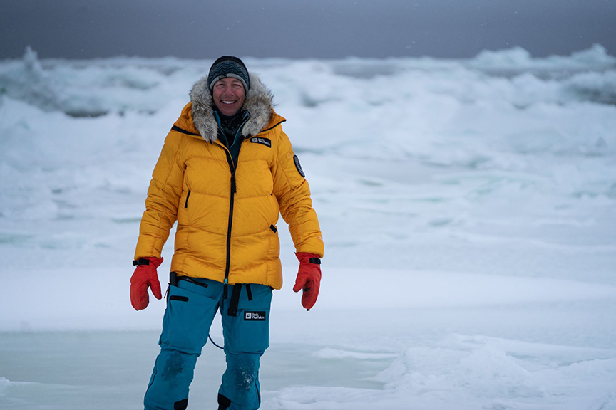
Historical focus
The expedition is part of a fresh historical focus on Larsen's part.
"As I move forward with my career, focusing simply on my own personal objectives seems weirdly selfish," Larsen, the first and only person to reach the South and North Poles and the summit of Everest in one year, told this journalist in 2023. Larsen added that he now focuses on uplifting others and celebrating historical figures.
Hayes and Larsen expect the journey to take around three weeks. They will be accompanied by a two-snowmobile crew that will document the expedition and provide logistical support.
There's an old truism that's well worth remembering if you're scared of sharks. You're more likely to get struck by lightning, killed by fireworks, or have a stroke than you are to perish from a great white.
But attacks do happen, and the main problem is that great white sharks probably mistake surfers and their boards for seals.
Thankfully for wave chasers, researcher Laura Ryan of Macquarie University in Sydney has made what may be a game-changing discovery. She and her team recently spent over 500 hours studying great white shark hunting behavior using decoy seals. It led to a simple, effective method for deterring accidental shark attacks on surfers.
Lighting decoys
The experiment was fairly simple. The team rigged up a series of seal-shaped decoys with a variety of lighting arrays — vertical and horizontal strip lighting, as well as strobe lighting of varying brightness. Then they towed the decoys and observed what happened. After each tow of a lit decoy, Ryan immediately towed an unlit decoy (the control group) and compared the results.
“We have taken the approach of understanding these animals’ sensory system and how they see the world, [with] their behavior," Ryan told New Scientist.
The results, published this week in the journal Current Biology, are intriguing. The great whites followed or attacked the unlit control dummies the most. They showed less interest in strobe-lit dummies and even less in dummies with vertical striped lights.
However, the sharks still showed some interest. Probably, Ryan said, because those configurations still allowed the sharks to make out the silhouette of potential prey.
Brighter than the background
Horizontal lighting turned up to the brightest setting, on the other hand, was the clear winner. During the study, great whites showed zero interest in decoys lit in such a fashion. Horizontal lighting apparently broke up the silhouette enough to avoid a predation response.
“The most critical thing was that the brightness on the decoy had to be brighter than or equal to the background light,” Ryan said. “As long as the lighting stopped the silhouette from looking black, it seemed to work.”
This is great news for surfers and a good example of research that could have an almost immediate benefit.
“We are now moving from research into providing protection for swimmers and surfers,” the scientist noted.
Ryan has previously been involved in magnet-and-electrical-based shark deterrent research. But it seems likely that LEDs will find their way onto surfboards well before complex magnetic gizmos will.
She pointed out the study focused only on great whites. The method has yet to be tested on other sharks with a record of human attacks, such as tiger sharks and bull sharks.
If you want to get to know a wild place — really know it — you have to travel it by foot. There's just something about moving slowly that allows the brain to absorb and process the subtleties of beautiful settings.
Unfortunately, the measured pace of long-distance backpacking trips doesn't often make for interesting feature-length films. I'm a long-distance backpacker and outdoor journalist, so trust me when I say that. I've seen a lot of them. Backpacking tales seem better suited to books, where authors can better break up straightforward point-A-to-point-B narratives with inner dialogue, humorous asides, and other nuances.
But Out There: The Great Divide Trail is a bit of an exception.
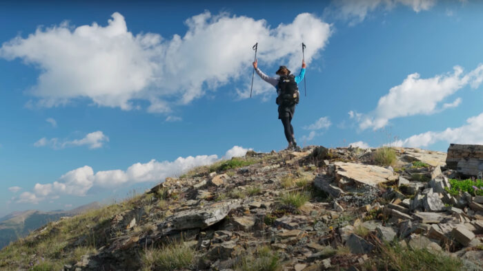
The 80-minute film was shot, directed, and edited by its two main characters: Ryan "Kodak" Brown and Ilsa "Cinnamon" Praet. It follows the two as they journey along Canada's Great Divide Trail (GDT), which stretches from Waterton Lakes National Park on the U.S.-Canadian border to Kakwa Provincial Park, some 1,130km north.
Familiar grooves
To some extent, Out There settles into the same familiar grooves of many long-distance backpacking movies. Kodak and Cinnamon gather their gear, travel to the trail's start, take the requisite photo, and start hiking. Along the way, they meet interesting people, power their way over passes, scrape the morning frost from their water bottles, and otherwise attend to life on a long-distance trail. Eventually, they reach the end and go home.
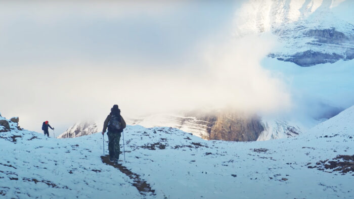
But where the film stands apart is in the wise decision to center the GDT itself. The pair have an eye for sweeping landscapes and the technical skill to showcase those landscapes to full effect. When paired with an unobtrusive acoustic soundtrack, the result is a film that makes the best use of the GDT's famously remote setting to quiet, meditative effect.
How it differs from other trails
It helps that the GDT is so beautiful. Dan Durston, a Canadian backpacker who runs a successful (and innovative) ultralight backpacking gear company, is interviewed throughout the film. He says it best:
"You can hike trails that are awesome. Pacific Crest Trail. Te Araroa. Those are fantastic trails. But what they don't have is this big, authentic, intact wilderness that we have here in the Canadian Rockies. We are going hundreds of kilometers without crossing a road. Fully intact ecosystems. And it gives the trail this sense of authenticity that you're actually hiking through something really special. The cliffs, the icefields, the spires. It's some of the most aesthetic mountains in the world."
Durston knows what he's talking about. He was the first person on record to yoyo the GDT, which is to say finish it in one direction, then immediately turn around start walking back the other way.
Kodak and Cinnamon are also experienced hikers. They met on a thru-hike of the Pacific Crest Trail, and "haven't really left each other's side since," Kodak says in the film's voiceover. But the GDT has challenges that test even the most capable backpacker. The trail's remote nature is certainly a factor. Wildlife is another.
Bears, wildfires, insects
"People have to consider that the Canadian Rockies has most of its megafauna still on the ground. In the wild. Including black bears and grizzly bears. There's everything from ticks in the early season to biting, flying insects. There are wildfires. There's also some risk with the traffic where the trail is forced to follow along highways from time to time."
It's also tough logistically. Unlike most of the long trails in the United States, there isn't one permit that will get you through all the protected areas that the GDT traverses. It necessitates careful planning and sticking to that plan.
Finally, there are sections of trail that aren't trail — high alpine areas that require route finding, scrambling, and navigating sketchy scree fields.
"Damn GDT. You don't need to go so hard right out of the gate," Cinnamon says during a steep climb early in the journey. Kodak later wryly refers to the GDT as "the Great Difficult Trail."
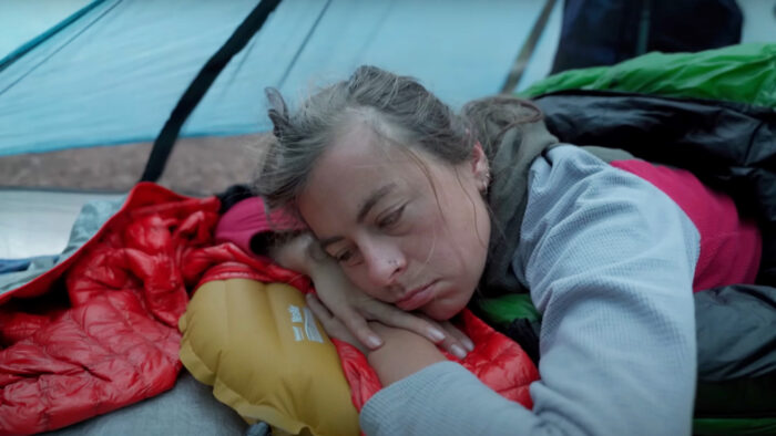
Just do it
But her partner also offers some words of comfort to viewers with itchy feet.
"So for those intrepid souls who want to hike the whole thing, I'd say start planning early, get as much information as you can, and don't get discouraged. You can do it. If you have the resolve, you can make it work," Kodak narrates over some characteristically beautiful cinematography.
The pair finishes their trek in a cozy cabin on the shores of a lake. It's a fitting end to a journey more spiritual than pulse-pounding.
"Saying goodbye is bittersweet. The further north we went, the more we fell in love with the natural beauty surrounding us," they write in the cabin's logbook.
 Adventurer (@aliceoutthere1)